Recent Reports & Visits
Latest lake visits and condition reports across Saskatchewan.
There was a Reddit post about discoloured water, dead fish, etc on the lake. Check out the link for the discussion and photos over there. The thread mentioned the area between Nickorick to Bonne Madone.
Update for July 21:
On July 21, Saskatchewan Public Health conducted site visits and tested for algae blooms at three locations on Wakaw Lake: Regional Park Beach, Poplar Beach, and Hoodoo Beach. No algae blooms were identified at these locations. However, these results do not confirm the absence of algae blooms throughout the entire lake, as conditions can vary between different areas.
Saskatchewan Public Health has advised that residents with concerns may contact them directly at 306-232-9645. Based on the information provided, they will assess whether additional investigation or testing may be warranted. Please note that response times may be delayed, and it could take 24 to 48 hours to receive a reply.
Regarding reports of dead fish, they advised the following:
Fish kills can occur naturally and are relatively common in Saskatchewan lakes.
The presence of dead fish does not automatically indicate a harmful algae bloom.
Further assessment is required before determining if there is any connection between fish mortality and algae.
New concrete pads have been installed at the Wapiti Marina. Check link for photos.
Water advisory removed for Stoney Beach. First observed: Jul 14, 2026 4:31 PM. Sample date: Jul 21, 2026.
Status: Suitable | Lake: Humboldt Lake | Geomean: 1.32 | Microcystin: <0.2
Water advisory removed for St. Brieux Beach. First observed: Jul 14, 2026 7:55 PM. Sample date: Jul 20, 2026.
Status: Suitable | Lake: St. Brieux Lake | Park: St. Brieux Regional Park | Geomean: 1 | Microcystin: <0.2
Water advisory added for Rowan's Ravine Provincial Park Main Beach Area. First observed: Jul 20, 2026 4:49 PM. Sample date: Jul 20, 2026.
Status: Advisory | Lake: Last Mountain Lake | Park: Rowan's Ravine Provincial Park | E. coli exceedance: 1 | Geomean: 134.27 | Microcystin: <0.2
Water advisory removed for Palliser Regional Park Beach. First observed: Jul 13, 2026 4:49 PM. Sample date: Jul 20, 2026.
Status: Suitable | Lake: Lake Diefenbaker | Park: Palliser Regional Park | Geomean: 17.08 | Microcystin: <0.2
Water advisory removed for Kedleston Beach. First observed: Jul 10, 2026 4:01 PM. Sample date: Jul 17, 2026.
Status: Suitable | Lake: Last Mountain Lake | Geomean: 13.2 | Microcystin: <0.2
Water advisory removed for Regina Beach. First observed: Jul 14, 2026 7:43 PM. Sample date: Jul 16, 2026.
Status: Suitable | Lake: Last Mountain Lake | Geomean: 108.11 | Microcystin: <0.2
Water advisory added for Annie Laurie Beach. First observed: Jul 16, 2026 6:11 PM. Sample date: Jul 16, 2026.
Status: Advisory | Lake: Annie Laurie Lake | E. coli exceedance: 2 | Geomean: 159.66 | Microcystin: <0.2
Water advisory removed for Moose Mountain Prov Park Beach. First observed: Jul 13, 2026 4:36 PM. Sample date: Jul 16, 2026.
Status: Suitable | Lake: Kenosee Lake | Park: Moose Mountain Provincial Park | Geomean: 1.48 | Microcystin: <0.2
Water advisory removed for Rowan's Ravine Provincial Park Main Beach Area. First observed: Jul 13, 2026 4:31 PM. Sample date: Jul 15, 2026.
Status: Suitable | Lake: Last Mountain Lake | Park: Rowan's Ravine Provincial Park | Geomean: 24.26 | Microcystin: 2.5
Water advisory added for St. Brieux Beach. First observed: Jul 14, 2026 7:55 PM. Sample date: Jul 14, 2026.
Status: Advisory | Lake: St. Brieux Lake | Park: St. Brieux Regional Park | E. coli exceedance: 1 | Geomean: 63.95 | Microcystin: <0.2
Water advisory added for Regina Beach. First observed: Jul 14, 2026 7:43 PM. Sample date: Jul 14, 2026.
Status: Advisory | Lake: Last Mountain Lake | E. coli exceedance: 3 | Geomean: 254.6 | Microcystin: <0.2
Water advisory added for Stoney Beach. First observed: Jul 14, 2026 4:31 PM. Sample date: Jul 14, 2026.
Status: Advisory | Lake: Humboldt Lake | Geomean: 1.38 | Microcystin: 14
Water advisory added for Palliser Regional Park Beach. First observed: Jul 13, 2026 4:49 PM. Sample date: Jul 13, 2026.
Status: Advisory | Lake: Lake Diefenbaker | Park: Palliser Regional Park | E. coli exceedance: 1 | Geomean: 166.85 | Microcystin: <0.2
Water advisory added for Moose Mountain Prov Park Beach. First observed: Jul 13, 2026 4:36 PM. Sample date: Jul 13, 2026.
Status: Advisory | Lake: Kenosee Lake | Park: Moose Mountain Provincial Park | E. coli exceedance: 1 | Geomean: 9.9 | Microcystin: <0.2
Water advisory added for Rowan's Ravine Provincial Park Main Beach Area. First observed: Jul 13, 2026 4:31 PM. Sample date: Jul 13, 2026.
Status: Advisory | Lake: Last Mountain Lake | Park: Rowan's Ravine Provincial Park | E. coli exceedance: 2 | Geomean: 82.07 | Microcystin: <0.2
Water advisory added for Etter's Beach. First observed: Jul 10, 2026 6:03 PM. Sample date: Jul 10, 2026.
Status: Advisory | Lake: Last Mountain Lake | Park: Etter's Beach Recreation Site | Geomean: 3.99 | Microcystin: 158.2
Water advisory added for Kedleston Beach. First observed: Jul 10, 2026 4:01 PM. Sample date: Jul 10, 2026.
Status: Advisory | Lake: Last Mountain Lake | E. coli exceedance: 1 | Geomean: 172.78 | Microcystin: 2.5
Water advisory removed for Leroy Leisureland Main Beach/Pool Area. First observed: Jun 30, 2026 7:03 PM. Sample date: Jul 7, 2026.
Status: Suitable | Geomean: 44.95 | Microcystin: <0.2
One dock has been removed at the Regional Park due to high water level.
Water advisory removed for Bells Beach. First observed: Jun 30, 2026 5:12 PM. Sample date: Jul 6, 2026.
Status: Suitable | Lake: Christopher Lake | Geomean: 7.86 | Microcystin: <0.2
Boat launch is closed at Leslie Beach Regional Park until further notice. Keep an eye on their FB page for updates.
State of emergency declared for Leslie Beach Regional Park. Keep an eye on their FB page for updates.
Effective July 1, 2026 until further notice: Flooding is affecting parts of Duck Mountain Provincial Park and Kamsack areas, which may impact travel and access to and within the park. Visitors should check the Highway Hotline before travelling to stay informed about current road conditions at https://hotline.gov.sk.ca
Keep an eye on the linked SaskParks page for updates.
Travel Not Recommended effective July 1 until further notice: Travel to Porcupine Hills Provincial Park is not recommended at this time due to flooding and multiple road closures. Visitors are encouraged to postpone travel and check the Highway Hotline before travelling to stay informed about current road conditions at https://hotline.gov.sk.ca
Check out the linked SaskParks page for updates.
Water advisory removed for Etter's Beach. First observed: Jun 26, 2026 4:55 PM. Sample date: Jul 3, 2026.
Status: Suitable | Lake: Last Mountain Lake | Park: Etter's Beach Recreation Site | Geomean: 76.64 | Microcystin: <0.2
Meewasin posted this on FB:
River Safety Advisory
Due to increased flows on the South Saskatchewan River, river conditions have become hazardous, with higher water levels, faster-moving currents, and changing conditions.
For your safety, please stay out of the river and avoid all recreational activities, including:
• Boating
• Canoeing and kayaking
• Paddleboarding
• Swimming
• Floating
• Fishing from the shoreline
• Other water-based activities
Please also avoid approaching the river's edge. Fast-moving water, unstable banks, and submerged hazards can create dangerous situations.
Pet owners: Please keep pets leashed and away from the river and shoreline. Strong currents and unstable banks can pose serious risks to animals.
To help protect visitors, the following Meewasin-administered beach access sites are temporarily closed:
Poplar Bluffs Conservation Area
Fred Heal Canoe Launch
Paradise Beach
Cranberry Flats Conservation Area and Chief Whitecap Park remain open; however, visitors are urged to exercise extreme caution near the river and follow all posted safety signage.
The City will continue to closely monitor river conditions and flow rates. Updates and additional information will be posted on the City of Saskatoon Service Alerts webpage: saskatoon.ca/service-alerts
Beautiful nights for kayaking and sunsets!!!

High water levels on the lake right now, launch is flooded at the campground.
The Water Security Agency (WSA) will begin operating the spillway at Gardiner Dam this week following significant rainfall across Alberta that has dramatically increased inflows into Lake Diefenbaker.
Beginning July 2, outflows from Gardiner Dam will increase from approximately 270 cubic metres per second (m3/s) to 470 m3/s. On July 3, releases are expected to increase again to approximately 770 m3/s as spillway operations begin.
Current plans call for spillway operations to continue until approximately July 25, after which outflows will gradually be reduced back to 270 m3/s. WSA notes that additional increases could become necessary if more rainfall occurs or inflows into Lake Diefenbaker continue to rise.
PUBLIC SAFETY NOTICE – Boat Launch & Fishing Area Closed
Due to the recent heavy rainfall and rising water levels, the boat launch and public fishing area at Whitesand Regional Park are temporarily closed.
The cement benches and docks are completely under water, making the area unsafe for public use.
We appreciate your understanding and patience as we wait for water levels to recede. We will provide updates as soon as it is safe to reopen.
Thank you for your cooperation and helping us keep everyone safe. – Whitesand Regional Park Management
Water advisory added for Leroy Leisureland Main Beach/Pool Area. First observed: Jun 30, 2026 7:03 PM. Sample date: Jun 30, 2026.
Status: Advisory | E. coli exceedance: 3 | Geomean: 191.55 | Microcystin: <0.2
Patterson Park swim raft is in the water!
Water advisory added for Bells Beach. First observed: Jun 30, 2026 5:12 PM. Sample date: Jun 30, 2026.
Status: Advisory | Lake: Christopher Lake | E. coli exceedance: 1 | Geomean: 97.44 | Microcystin: <0.2
Stopped to checkout the river near Prince Albert. Water is high and flowing fast. Lots of debris in the water.
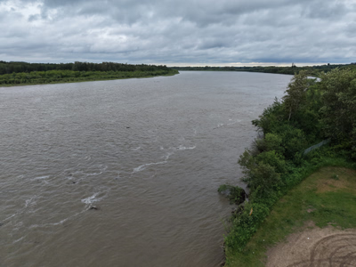
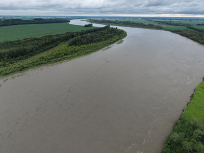
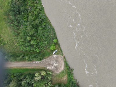
+7 more photos
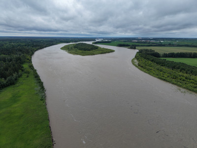
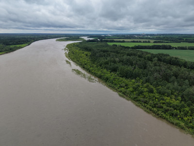
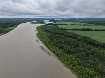
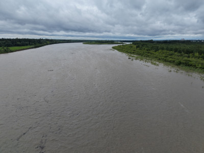
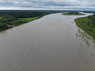
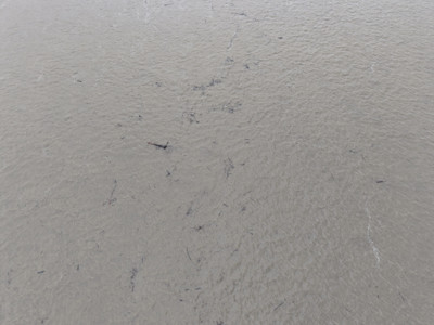
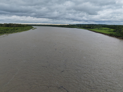
I stopped in at the Petrofka Bridge Boat Launch. Water is moving fast, and lots of debris/trees in the water.
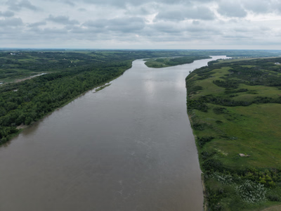
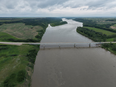
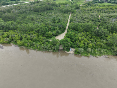
+7 more photos
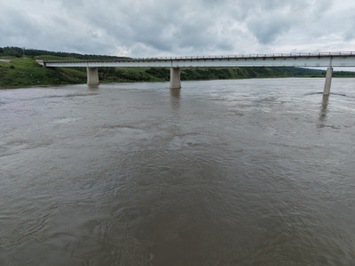
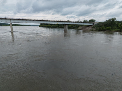
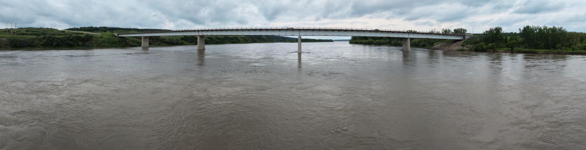
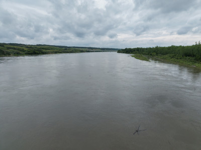
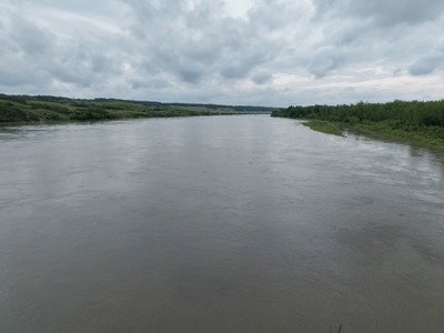
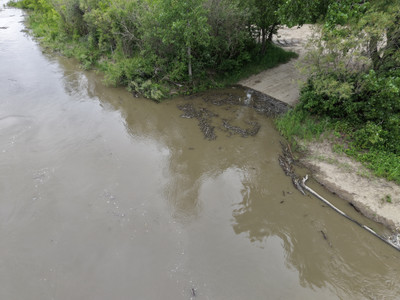
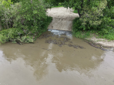
Cecil Ferry had been closed due to high water levels.
Water advisory added for Etter's Beach. First observed: Jun 26, 2026 4:55 PM. Sample date: Jun 26, 2026.
Status: Advisory | Lake: Last Mountain Lake | Park: Etter's Beach Recreation Site | E. coli exceedance: 5 | Geomean: 510.65 | Microcystin: <0.2
Part of Little Red River Park closed due to high water level on North Saskatchewan River and potential backup into the park.
The closure affects:
The Highway 55 entrance to Cosmo Lodge, including the lodge itself
The Knotty Pine Bistro
The WSA has issued a high water advisory for the Saskatchewan River. See linked article for more info.
The WSA has issued a high water advisory for the North Saskatchewan River. See linked article for more info.
North Battleford boat launch is closed effective June 25th until further notice.
Dock will not be installed at the north boat launch this year.
Highway 106 (Hanson Lake Road) has had paving completed!
The Wollaston Lake Barge is now open for the season!
Stopped in to check out the pond and take some photos on my way past.
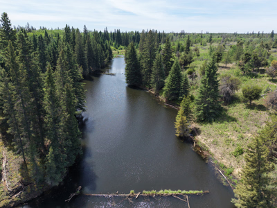

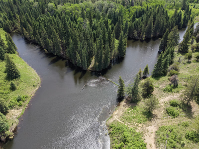
+6 more photos
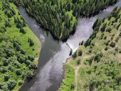
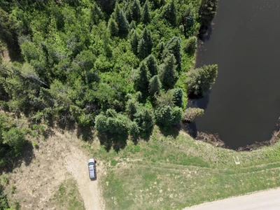
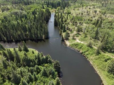
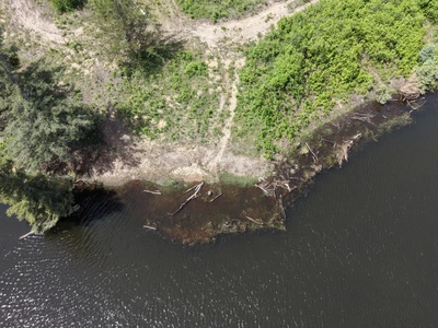
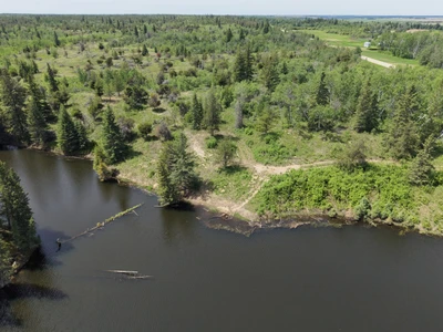
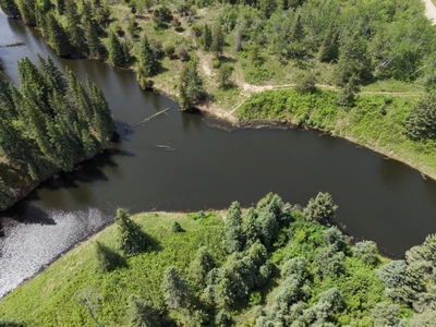
Stopped in at the Saskatchewan River Forks Rec. Site.
Water level is up 0.708m over the last week.
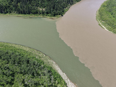

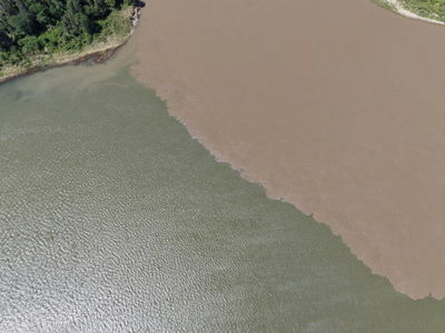
+11 more photos
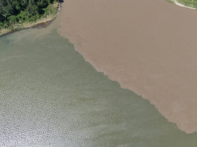
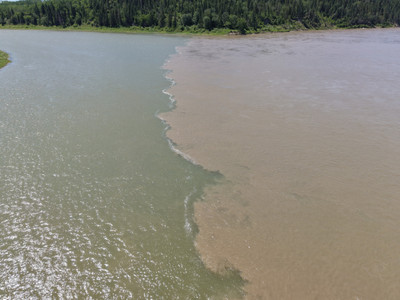
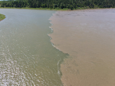
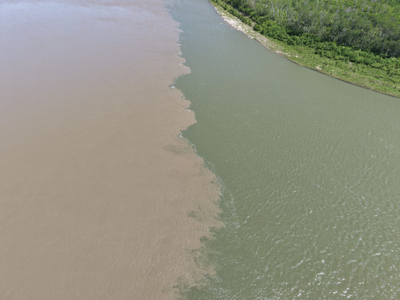
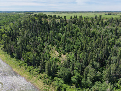
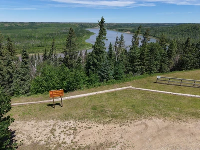
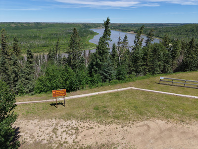
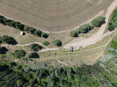
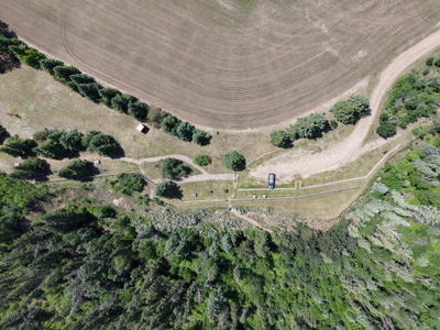
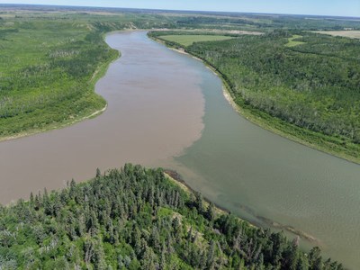
High water levels and fast flow on the South Saskatchewan right now. The City of Saskatoon has temporarily closed the Poplar Bluffs Conservation Area, Fred Heal Canoe Launch, and Paradise Beach due to potential safety risks.
Slide dock is in at the regional park.
The Water Security Agency (WSA) has announced a significant increase in outflows from Gardiner Dam at Lake Diefenbaker and will begin operating spillway gates to release additional water from Lake Diefenbaker in response to recent heavy precipitation in Alberta and rising inflows into the reservoir.
Starting June 7, outflows are expected to increase from approximately 280 m³/s to around 700 m³/s. Peak releases are anticipated around June 11, followed by a gradual reduction over the following week.
Pretty hard to access to the rec. site, road/trail was in ok shape.
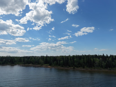
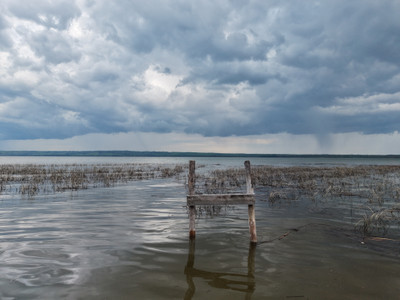
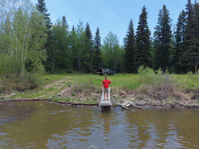
+25 more photos
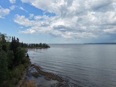
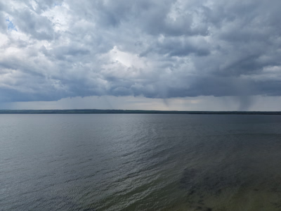
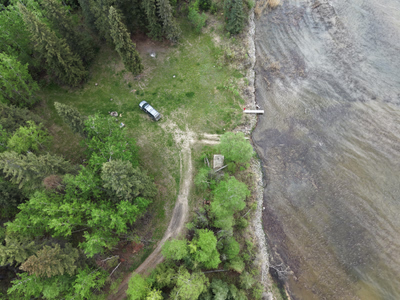
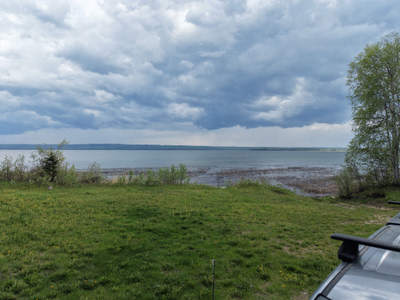
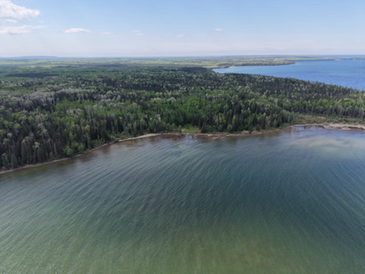
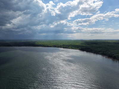
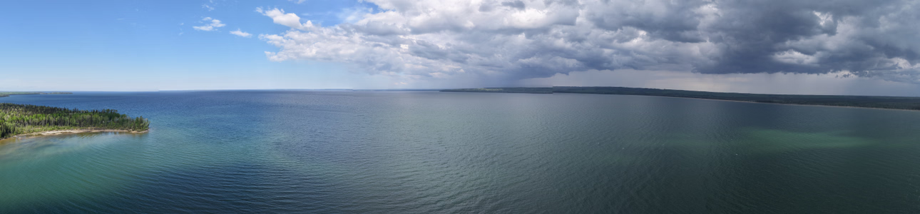
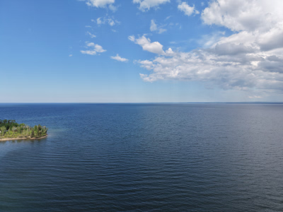
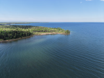
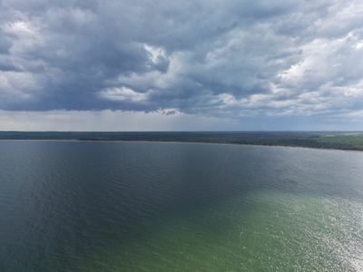
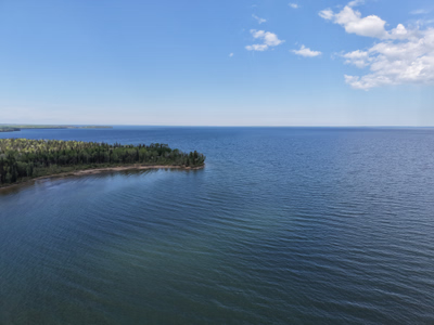
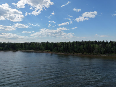
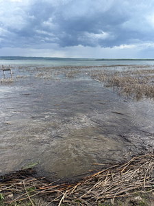
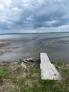
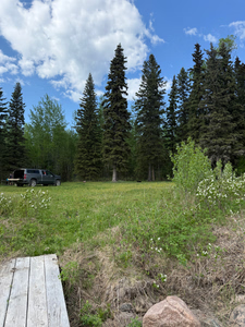
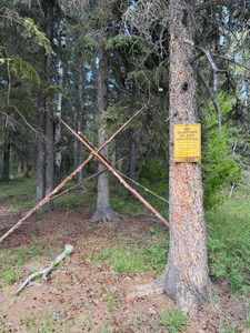
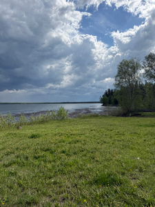
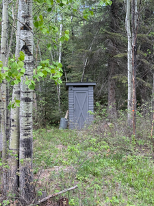
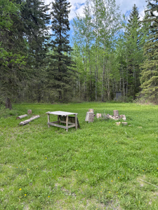
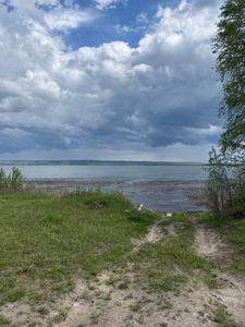
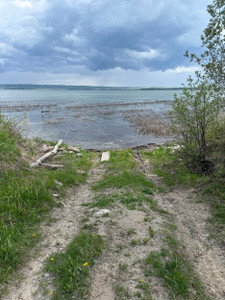
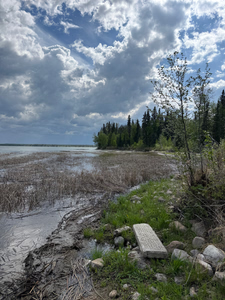
First time I've ever been in here. Cute little lake, would be a nice spot to checkout when Dore is rough.
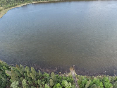
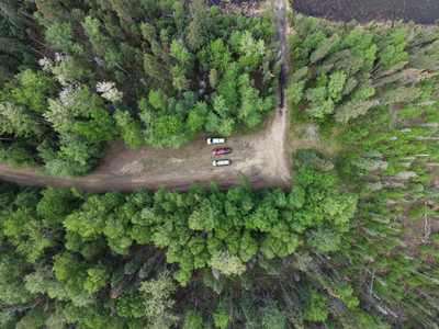
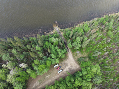
+6 more photos
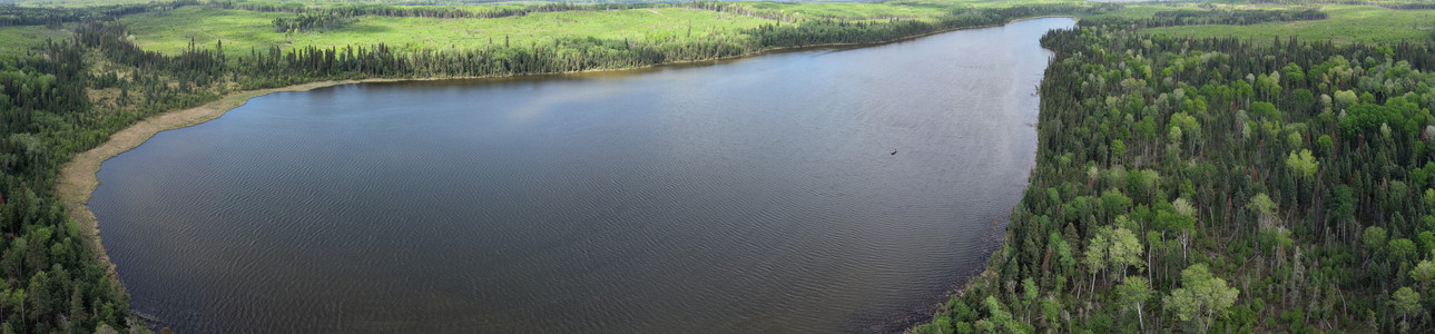
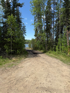
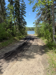
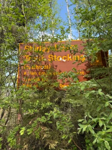
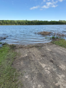
Stopped in at Dore Lake to setup a camera, and check things out. Lots of boats heading up to the lake!
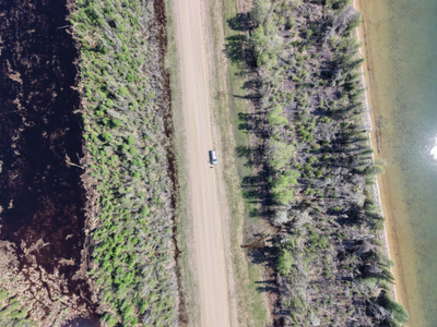
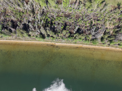
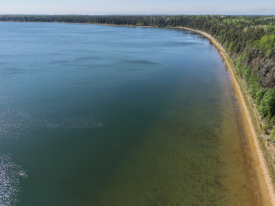
+41 more photos
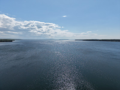
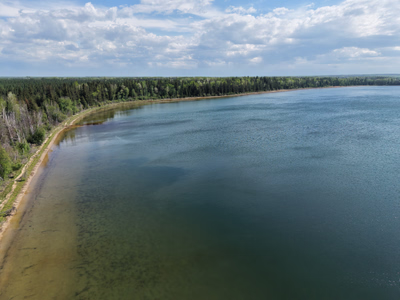
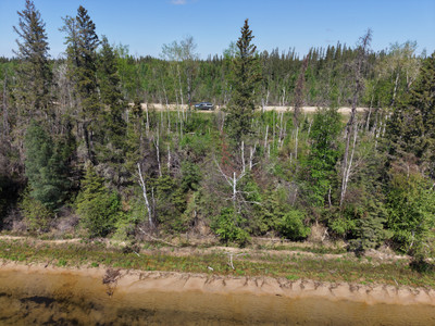
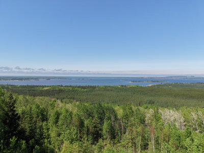
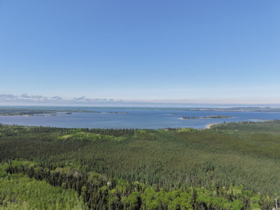
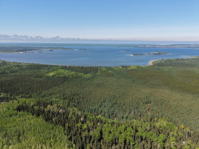
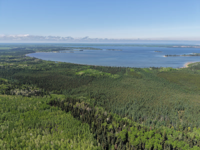
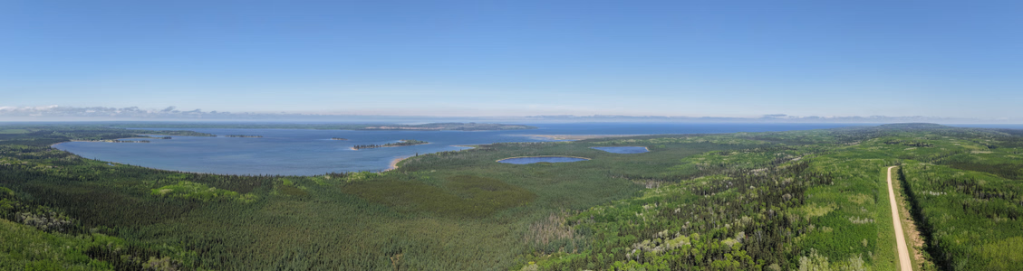
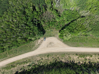
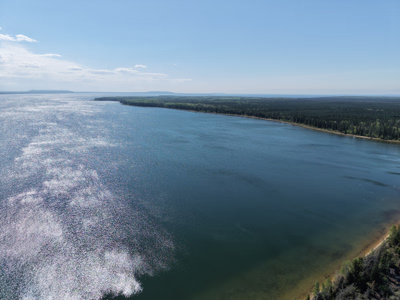
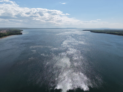
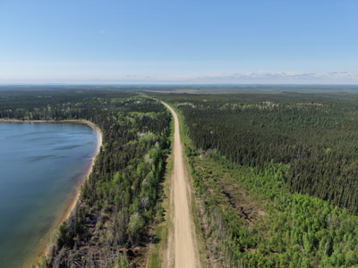
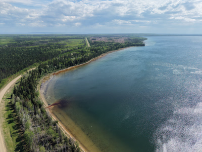
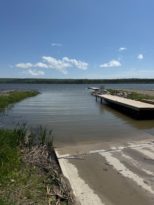
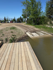
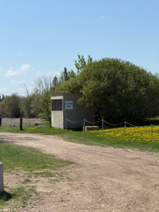
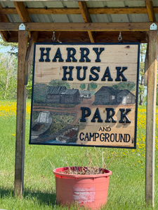
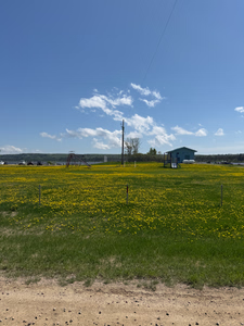
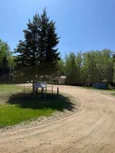
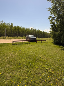
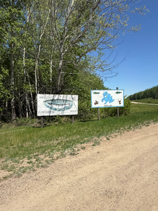
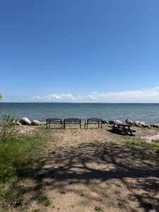
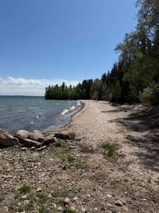
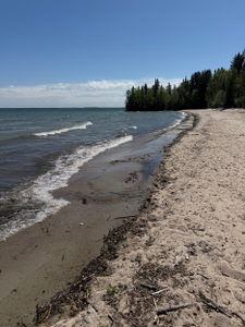
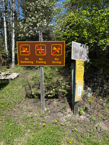
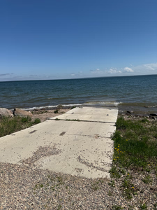
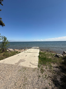
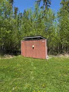
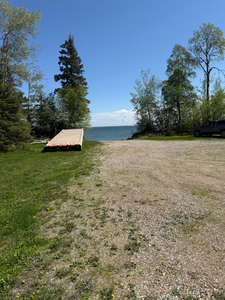
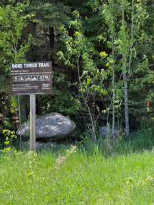

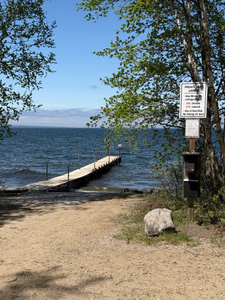
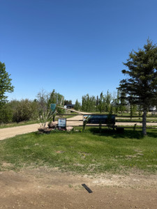
Swimming dock is in for the season at the Regional Park!
Looks like still quite a bit of ice out on the lake. Check out the photo in the link.
Looks like still quite a bit of ice out on the lake. Check out the photo in the link.
Dock is in at Moosehorn Lodge!
Still ice on the lake, but looks like some boats are starting to go out!
Boat launch is in at the regional park.
Water is still high at Fisher Creek, lots of debris in the water!
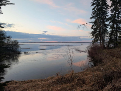
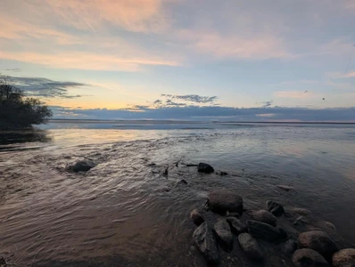
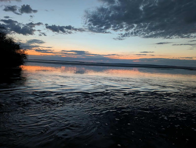
Looks like the ice is starting to break up on the lake.
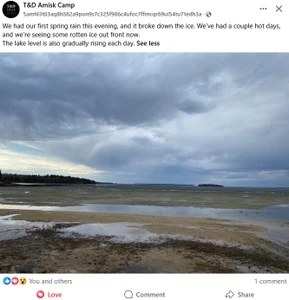
Posts on FB referencing winter kill on the lake.
There have been reports on FB about winter kill on the lake.
Ice is off the lake according to a message I got.
Ice is off the lake! Dock isn’t in at the boat launch yet.
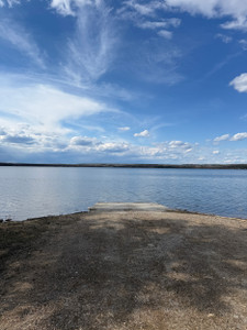
Just a bit of ice floating around, dock is in at the boat launch.
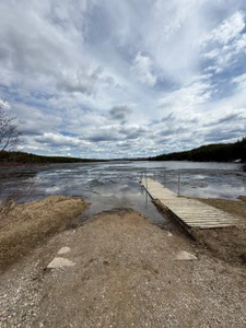
Docks are in at the boat launch!
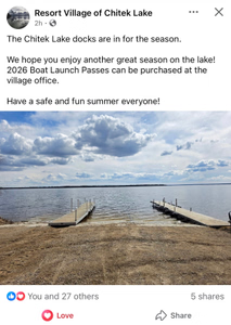
Stopped at Minowukaw on May 22nd. The boat launch was clear but no docks yet. Still lots of ice on the horizon.
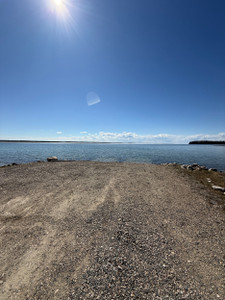
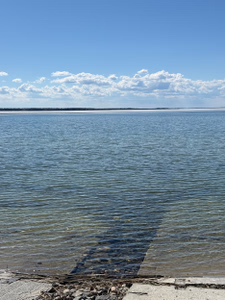
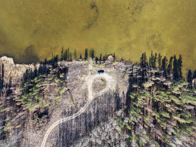
Stickley Lake was burnt by the SHOE Fire last summer and looks very different now. Road in has been cleared and is pretty wide open all the way to the lake.
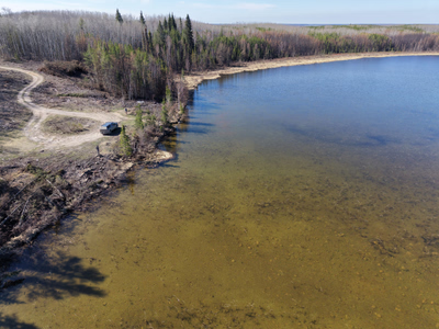
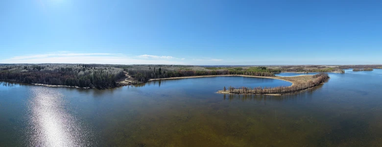
+8 more photos
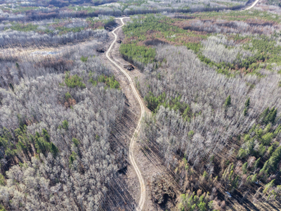
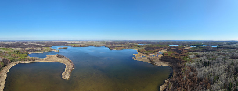
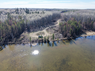
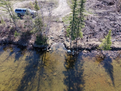
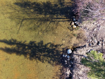
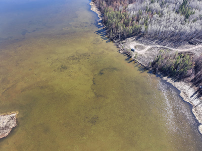
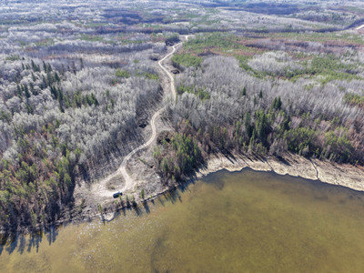
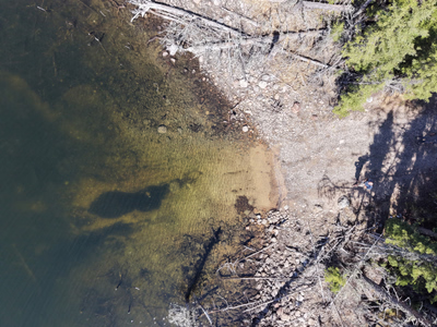
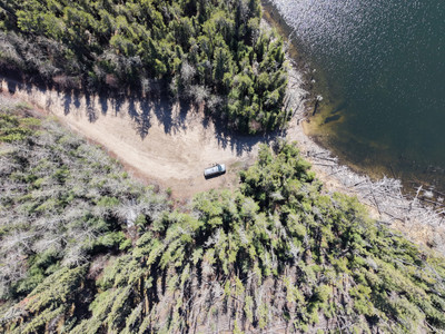
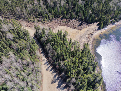
Lots of cleared on the way into the lake and the day use/camping area was cleared, the boat launch area is unchanged.
+7 more photos
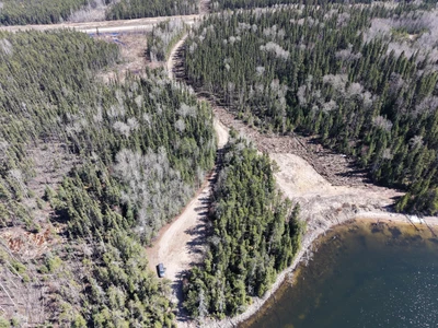
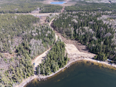
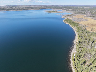
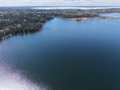
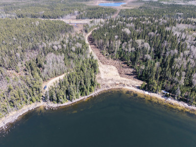
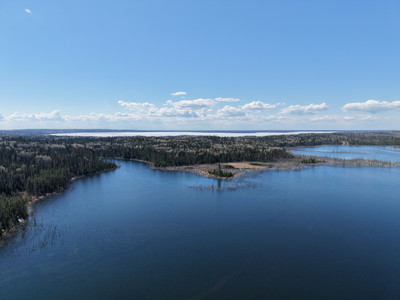
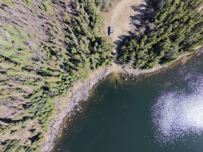
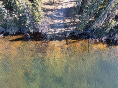
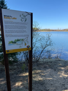
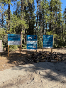
Baldy Lake survived the fire last summer untouched and the campground is in great shape this spring!
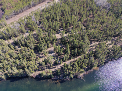
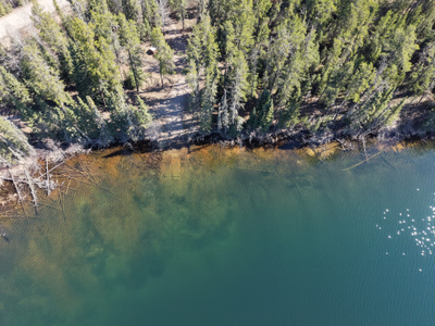
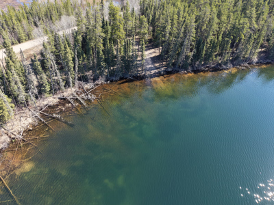
+7 more photos
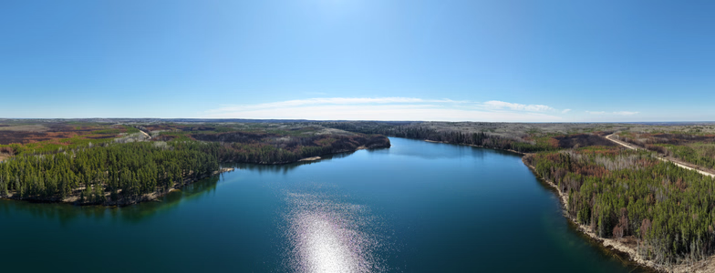
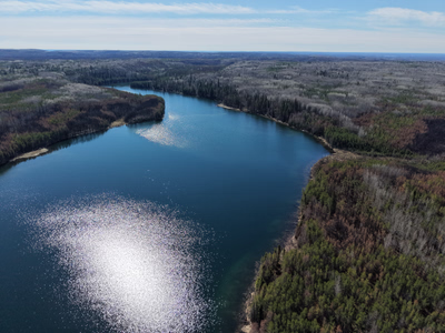
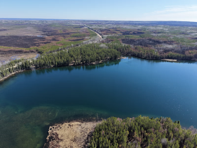
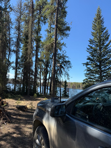
Note: the park is still doing construction around the Gem Lakes so they are not currently ready for public access
I visited the Gem's on May 21st and recorded some drone videos/photos from the area. This area was hit hard by the SHOE Fire last summer, and it looks very different. The trails and campsites are being rebuilt. It's a very different landscape from what it was before.
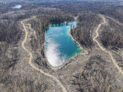
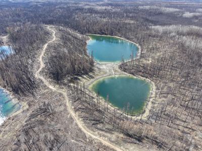
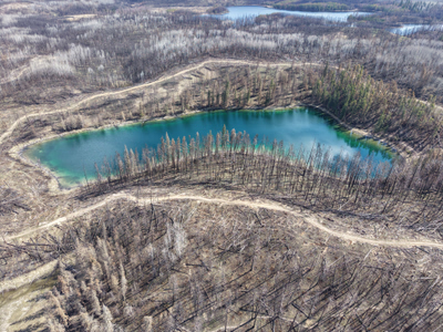
+68 more photos
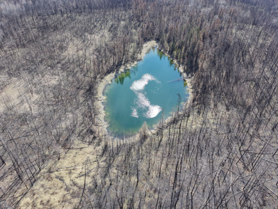
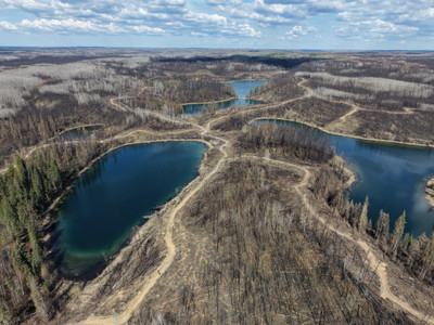
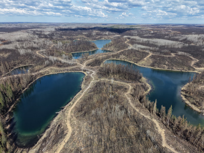
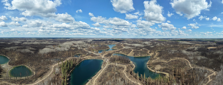
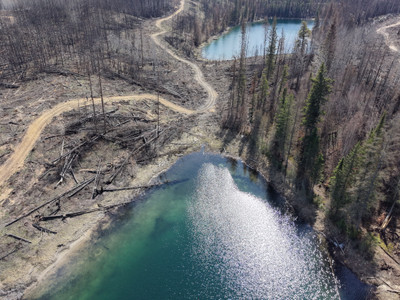
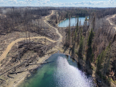
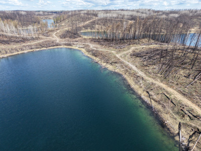
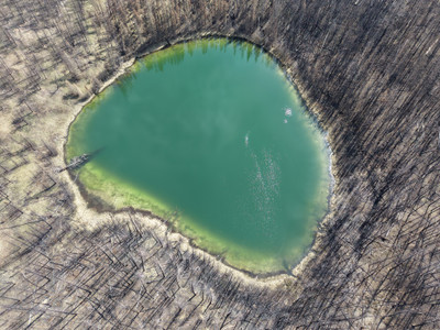
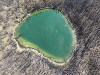
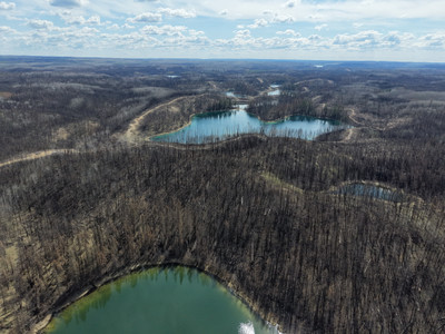
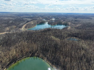
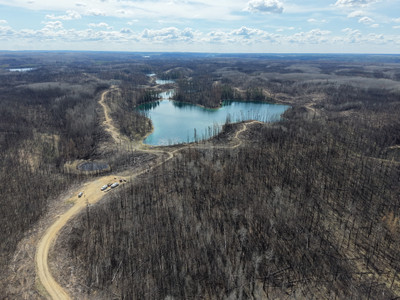
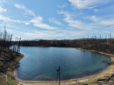
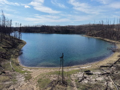
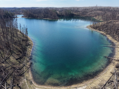
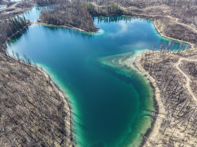
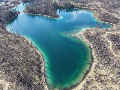
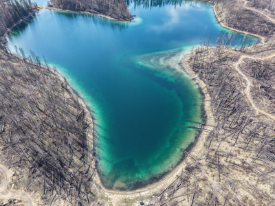
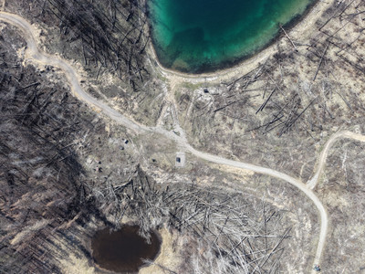
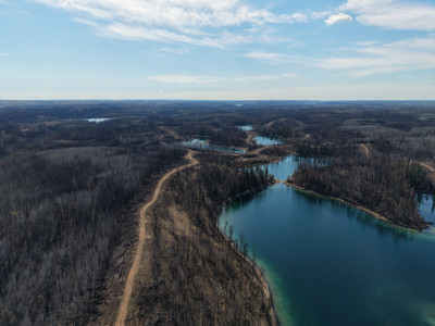
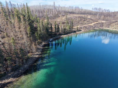
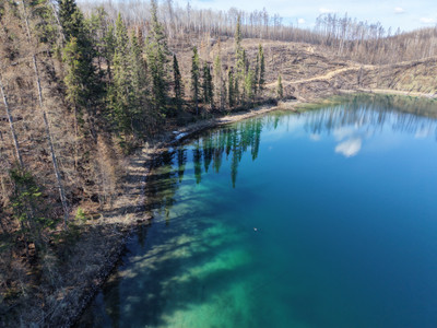
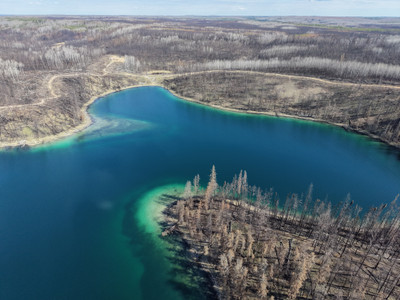
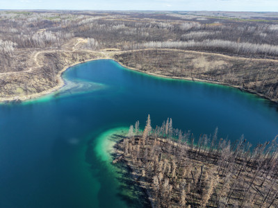
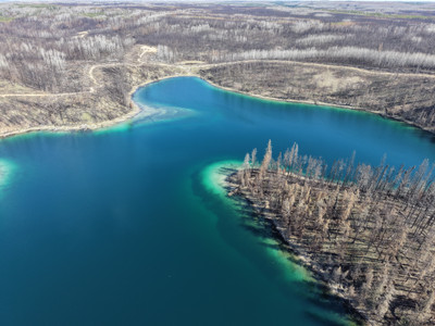
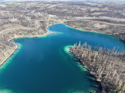
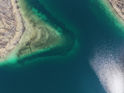
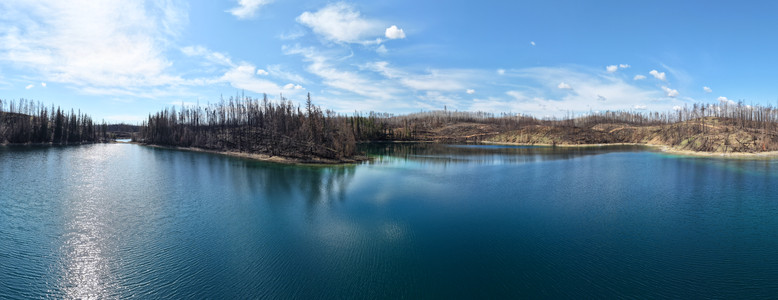
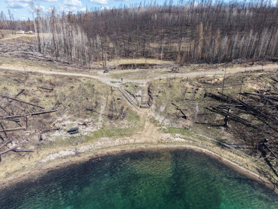
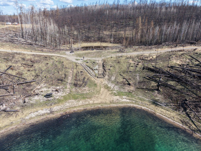
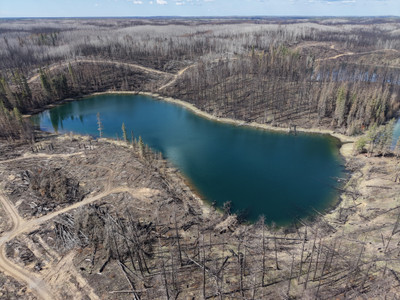
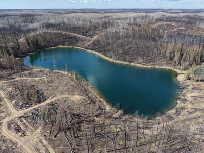
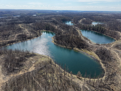
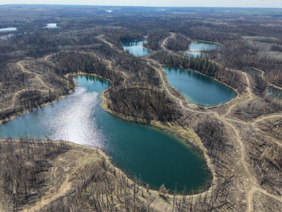
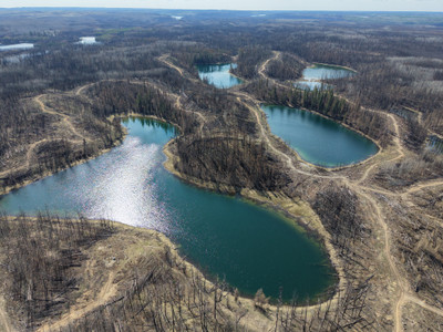
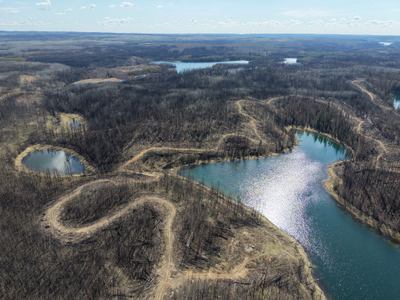
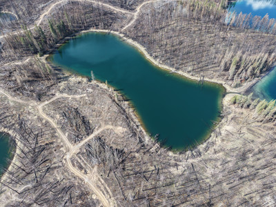
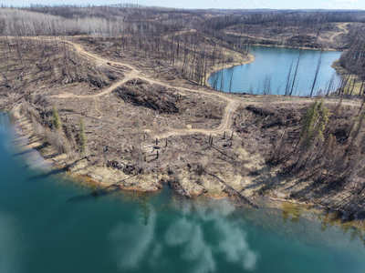
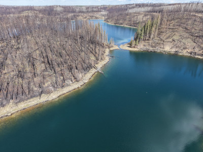
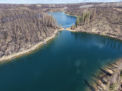
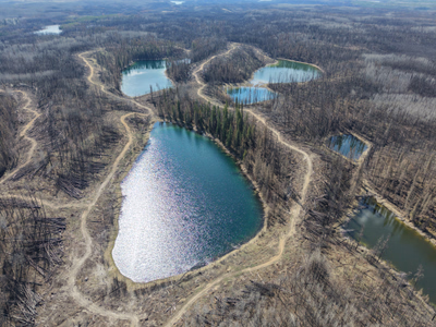
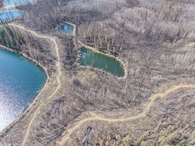
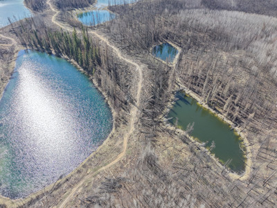
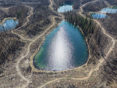
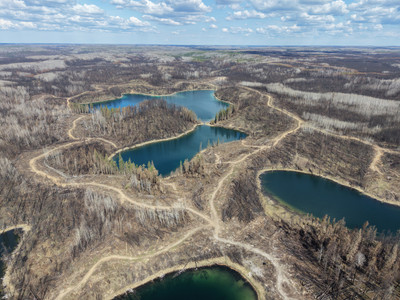
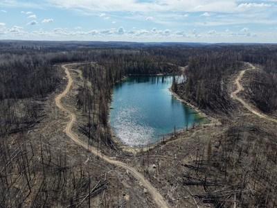
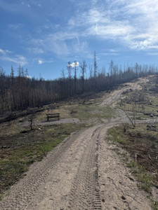
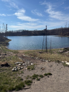
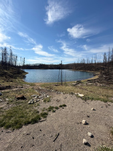
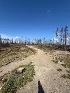
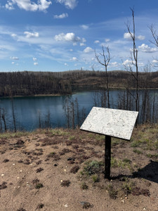
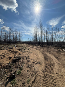
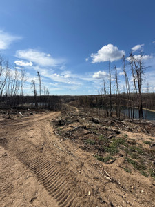
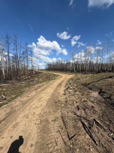
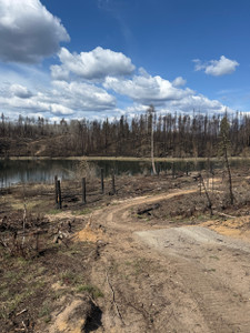
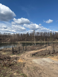
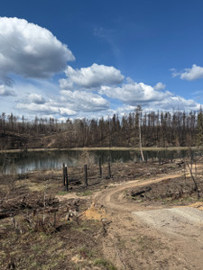
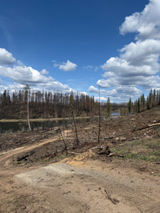
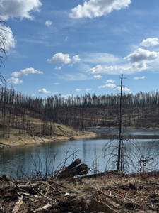
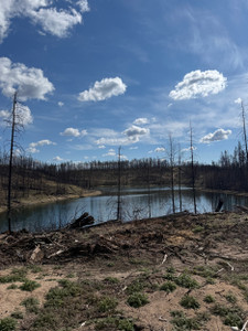
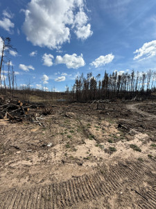
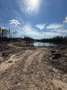
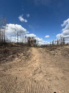
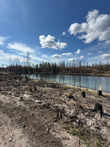
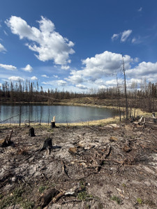
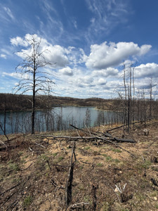
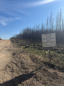
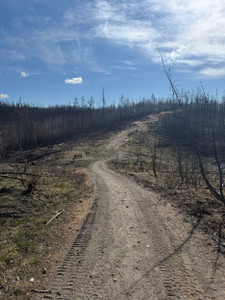
The whole area along the Narrow Hills Scenic drive and the Grace Lakes has been burnt. The road has been rebuilt and is a much easier drive then in years past.
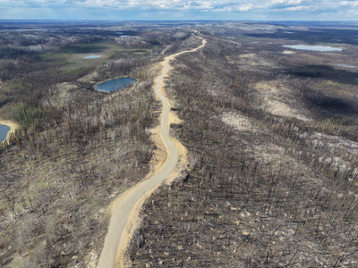
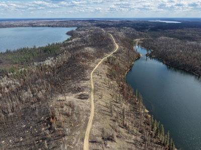
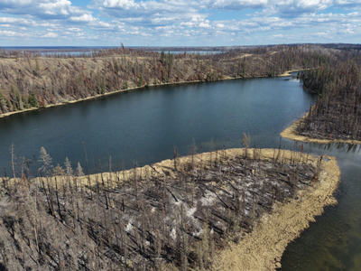
+14 more photos
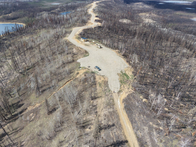
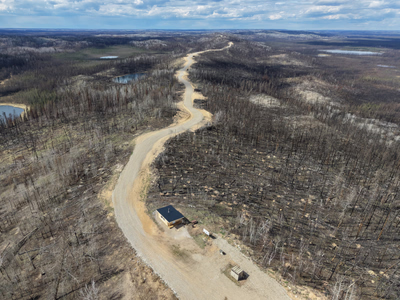
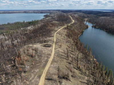
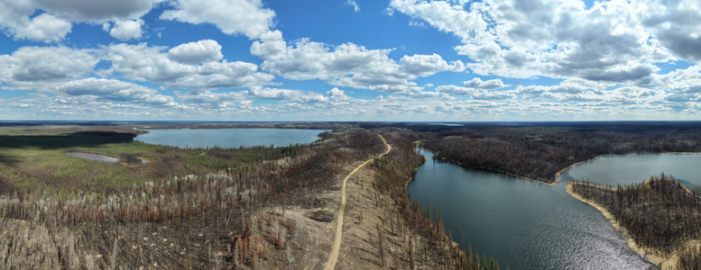
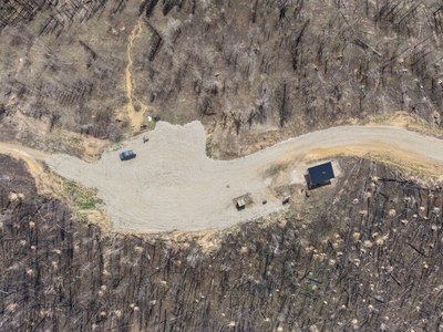
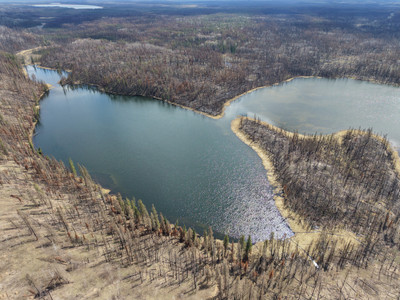
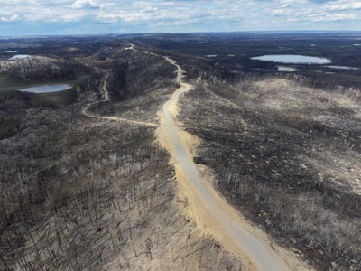
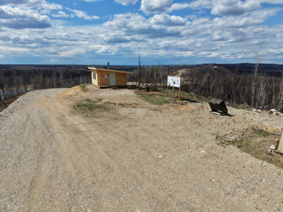
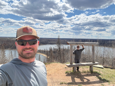
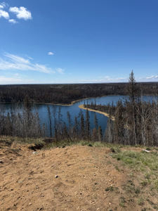
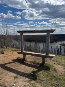
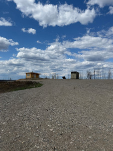
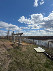
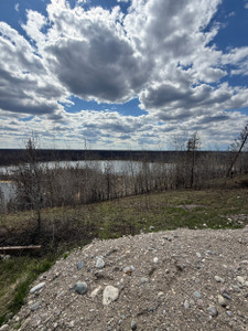
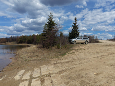
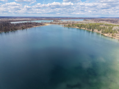
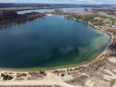
The back campsites were burnt and have been rebuilt. The playground, boat launch, and lake front sites survived the fire!
+7 more photos
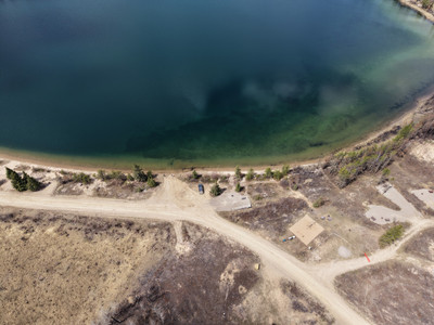
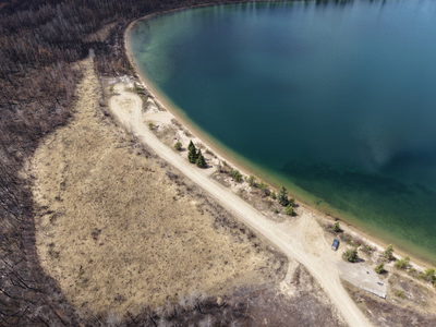
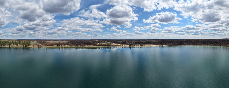
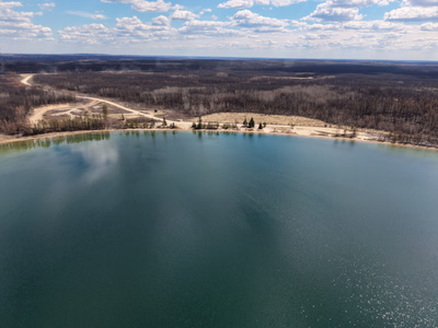
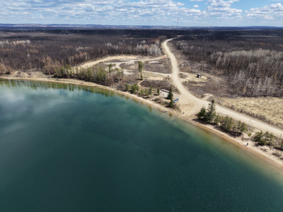
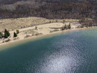
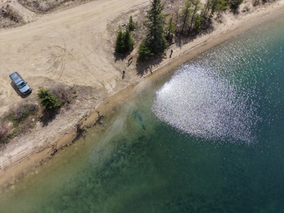
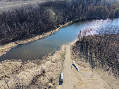
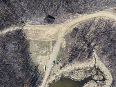
Summit Lake was hit hard by the SHOE Fire last summer. The boat launch and parking area was burnt. The road in is cleared now though and the lake is accessible.
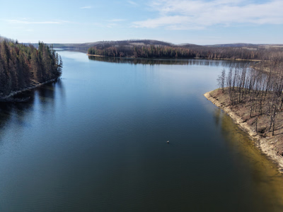

+4 more photos
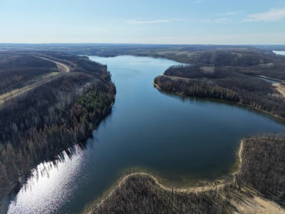
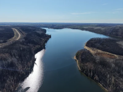
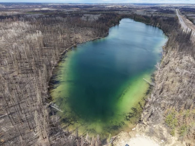
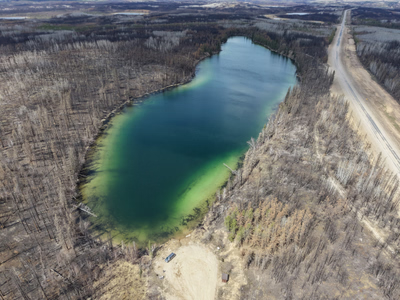
The SHOE Fire burnt almost the entire area around Shannon Lake. The boat launch area was saved.
+2 more photos
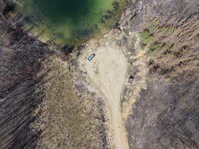
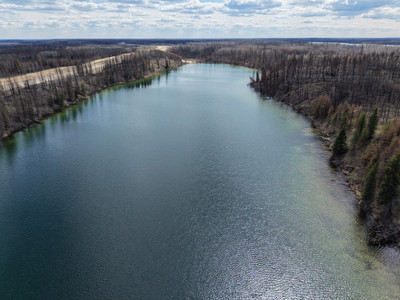
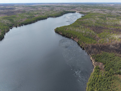
Sealey Lake mostly survived the SHOE fire untouched. You can see a few burnt areas from the lake but that's it.
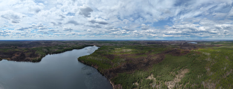
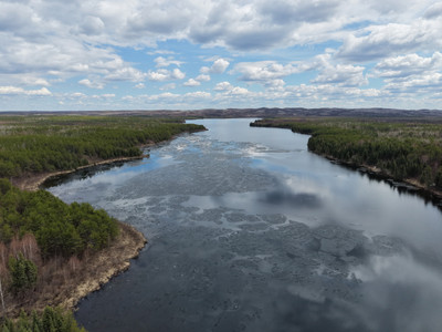
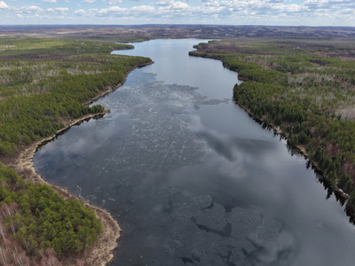
+2 more photos
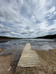
The SHOE fire burnt around Nipawin Lake last summer. The park has cleared out the access to the lake.
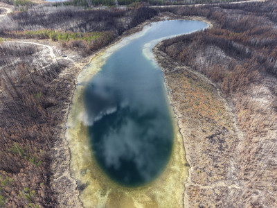
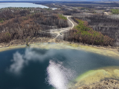
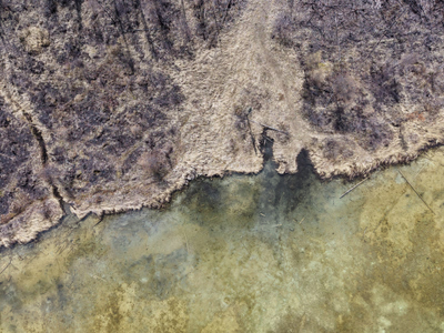
+1 more photo
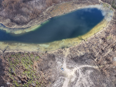
Area around the lake was entirely burnt last summer by the SHOE fire.
Lower Fishing Lake was pretty seriously impacted by the SHOE Fire last summer. Parts of the campground were burnt, but the park is hard at work rebuilding campsites and planting trees. It'll look different but it's still there and still an amazing spot to visit!
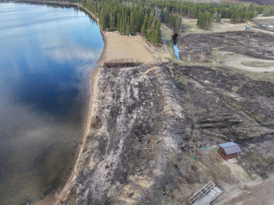
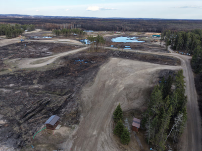
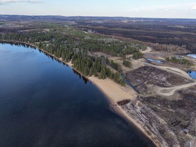
+12 more photos
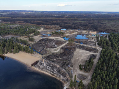
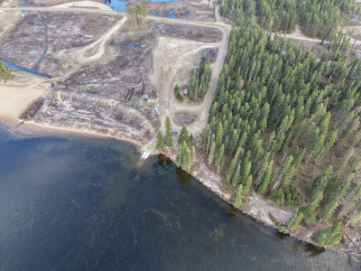
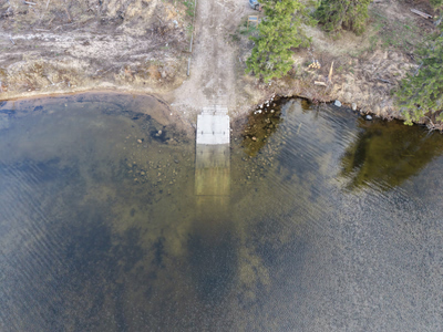
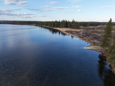
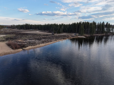
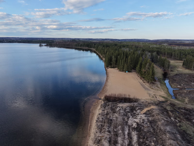
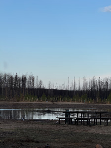
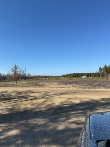
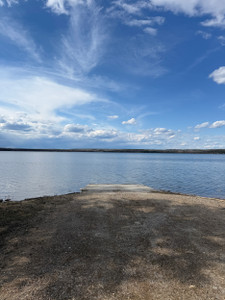
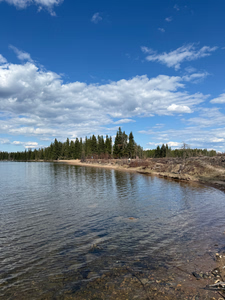
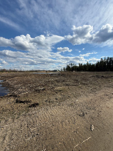
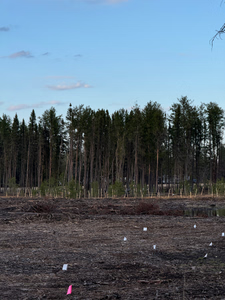
The road has been widened significantly into Lost Echo Lake. It's sandy and not as rocky as it used to be. The campground mostly survived the fire, with only a few of the campsites being burned. It's pretty burnt around the lake though.
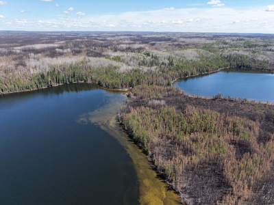
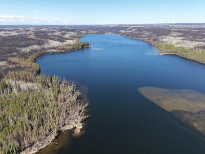
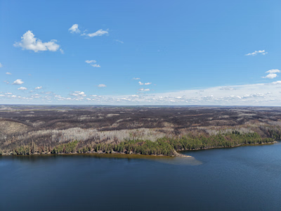
+23 more photos
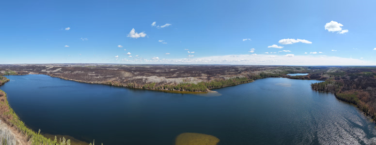
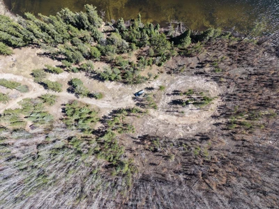
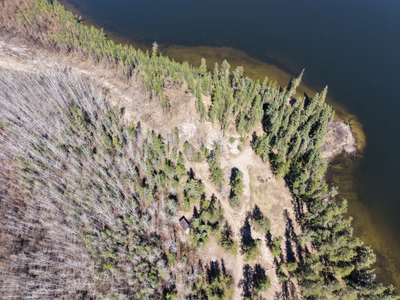
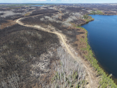
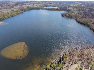
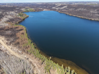
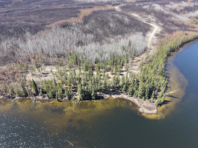
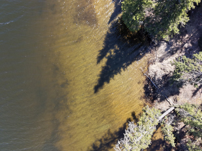
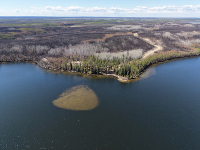
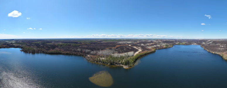
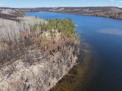
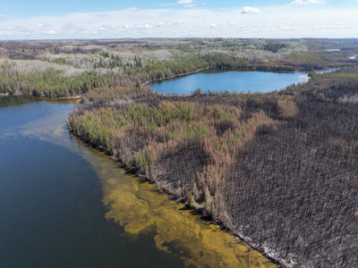
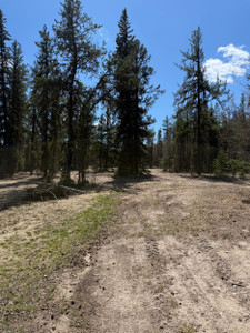
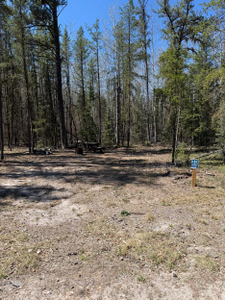
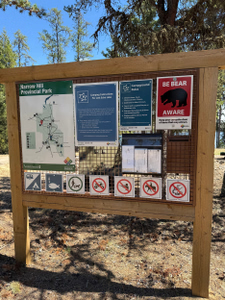
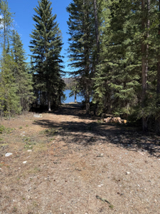
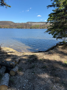
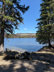
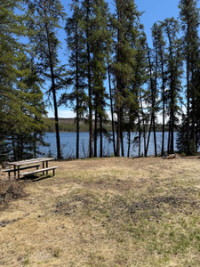
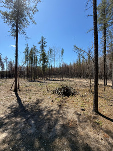
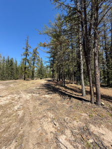
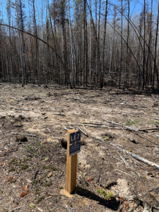
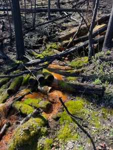
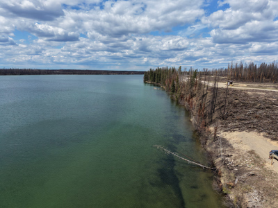
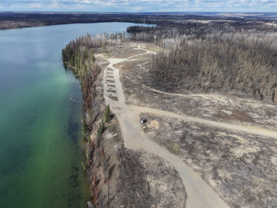
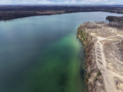
Ispuchaw Lake was hit hard by the fires last summer. The campground was pretty much entirely wiped out. The park has been hard at work and new campsites have been built, an outhouse has been brought in, and the boat launch has been rebuilt and is much better then it was in years past.
This lake is an old favourite of mine growing up, it is sad to see what it's looking like now!
+10 more photos
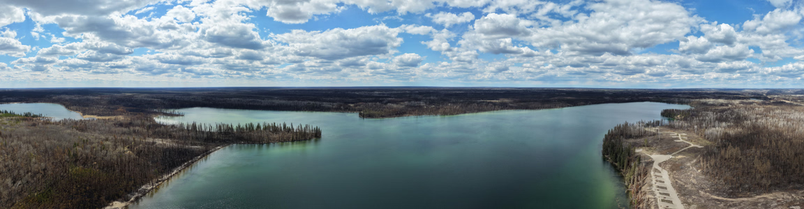
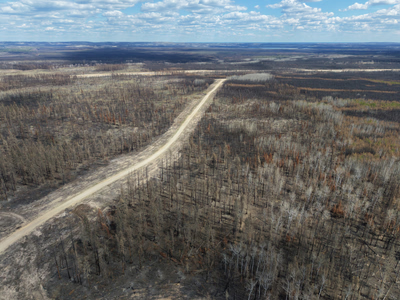
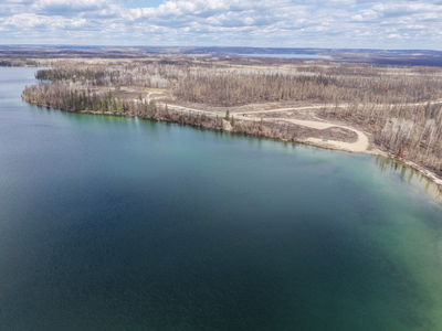
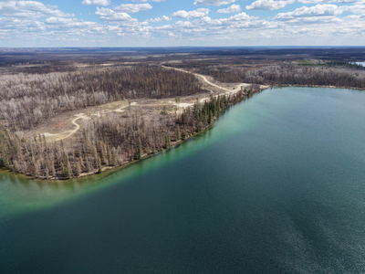
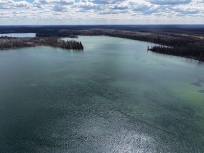
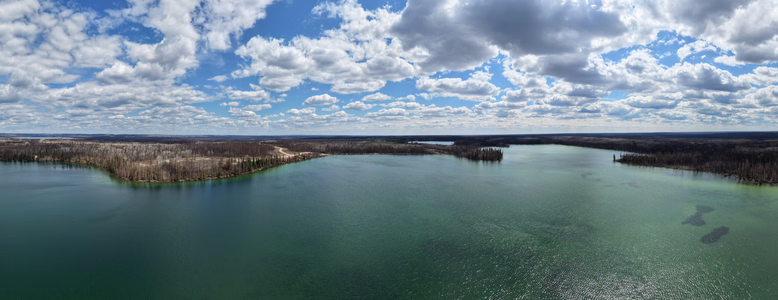
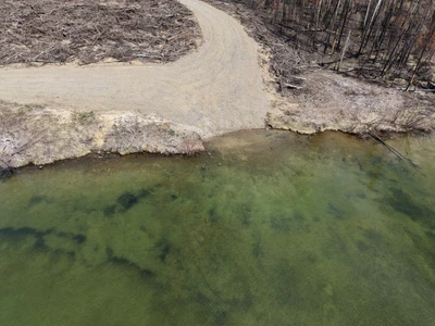
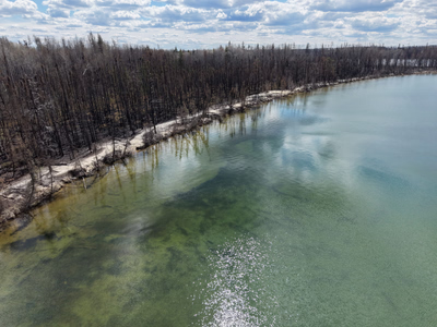
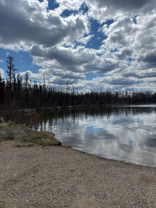
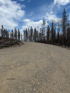
Burtlein Lake was mostly untouched by the fires last summer. The ditch by the highway has been cut back so the trail starts further from the road then it used to.
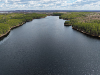
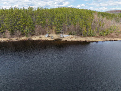
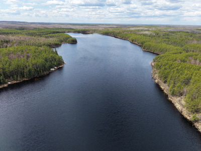
+1 more photo
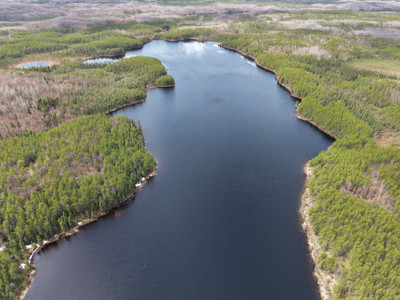
Docks are in at Murray Point boat launch!
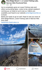
Lower Fishing Lake and other lakes are ice free!
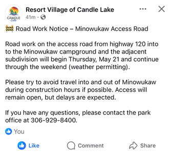
Construction on Minowukaw access road this weekend.
Ice is off the lake!
Still some ice on the lake.
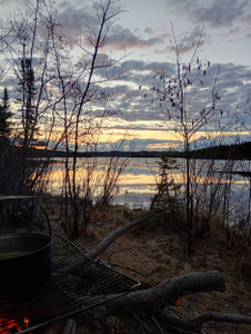
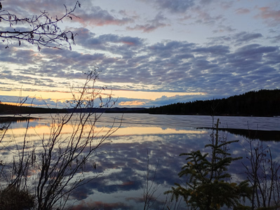
Still some ice on the lake over the May Long weekend.
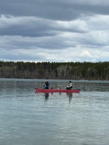
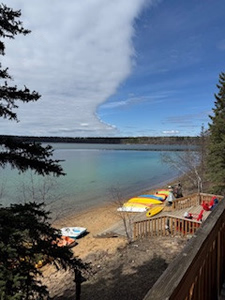
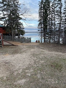
Ice completely gone on north end of lake. Was a bit of ice left on south end (south bay) of lake Saturday but its likely gone fully as of Sunday too. Many Docks went in around horseshoe bay on sunday.
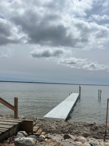
Boats going in at the Narrows Marina
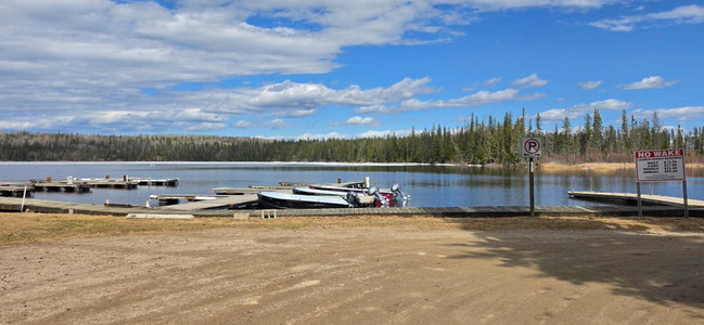
Lots of ice still out on the lake. Fisher Creek is ice free and much higher then usual.
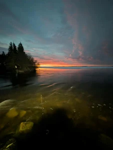

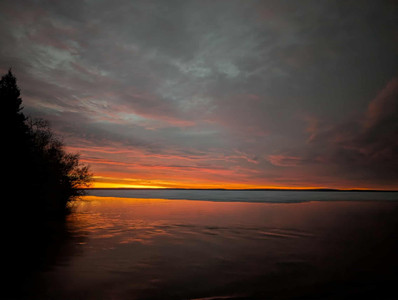
+2 more photos
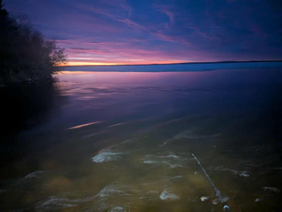
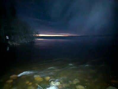
Still lots of ice on the lake!
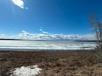
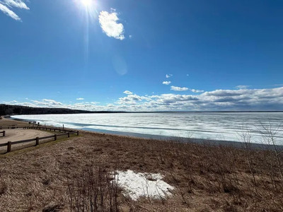
Ice is breaking up and the coast line is free water. Photo is Jacobson bay side.
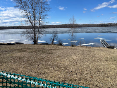
Still ice around the main marina
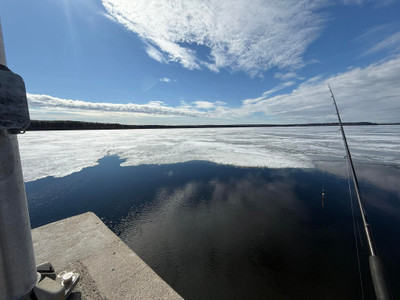
Boat launch is ice free
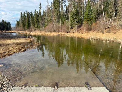
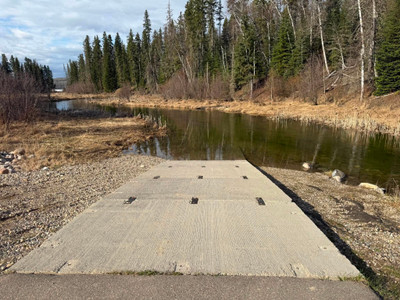
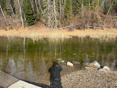
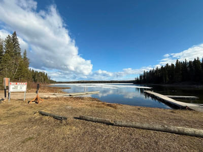
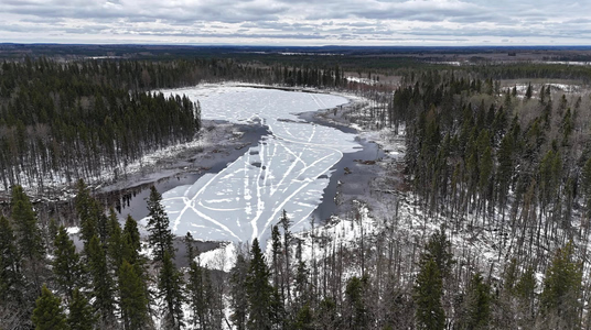
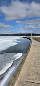
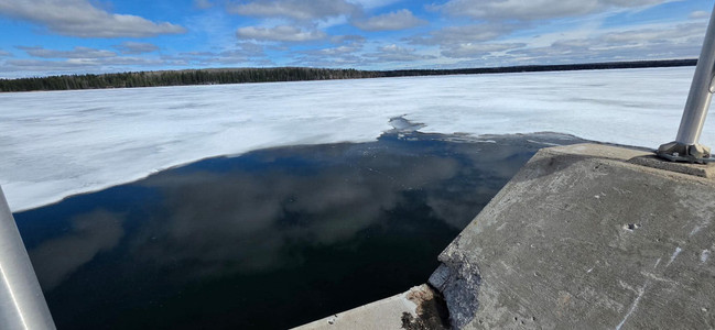
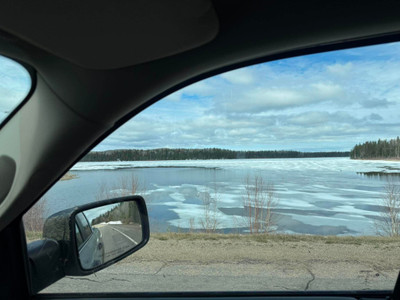
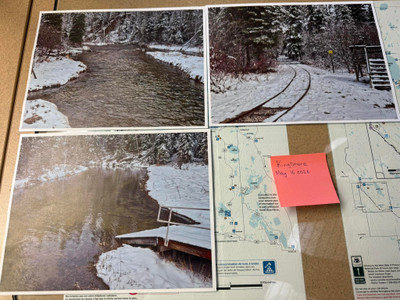
Dock is in at the Regional Park boat launch. Store is open!
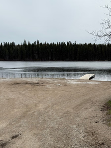
Dock is in at Sunset Bay Boat Launch!
Docks are in at Last Mountain Regional Park!
Boat launch dock is in at the provincial park.
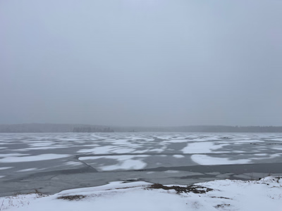
Ice is off the lake according to Poplar Point Resort!
Campground fully open. Partial fire ban in place for the RM but not at the regional park. Not that windy in the campground; is worse right by the water. Mike’s bar is open - Yahoo!
Regional park lifted their fire ban on May 15th, 2026.
Snowed this morning up at the lake.
In regards to the 2025 fires, the number of cabins on Nemeiben Lake lost to the fire was beyond several. The actual number was closer to 38 scattered cabins lost to fire. Some cabins managed to be saved, others were less fortunate. The cabins in the “hamlet” were saved by the efforts of the cabin owners who independently set and supported their own sprinkler systems.