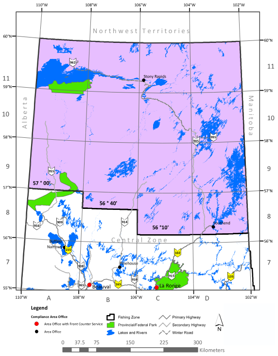
Northern Fishing Zone
Covering over 47 million acres and containing 2,490 named lakes, the Northern Fishing Zone is the second largest of the three fishing zones in Saskatchewan. The further north you go in Saskatchewan, the bigger the fish get! This zone is home to some of the most popular fishing lakes in the province, including Lake Athabasca, Reindeer Lake, and Wollaston Lake. The majority of the fishing lodges in the province are also found in this zone. This far north most of the lakes will not be accessible by road. Flying or paddling is often the only way in.
Fishing in the Northern Fishing Zone
Fishing Season
The fishing season within the Northern Fishing Zone is open from May 25, 2025 to April 15, 2026.
The following game fish can be found in the zone: Arctic Grayling, Lake Trout, Northern Pike, Yellow Perch, Walleye, Lake Whitefish and Burbot.
Check Out the Saskatchewan Anglers Guide
Always refer to the official Sask Anglers Guide for the most up-to-date information on fishing regulations and seasons.
View the Anglers Guide