Heads up!
Matt here, I'm going to be out of cell service till the 20th at the earliest.
Most of SaskLakes is automated and updates on its own, but some content/updates may be delayed, and I won't be able to respond to any emails/messages till I get back.
Thanks for your patience!
South Saskatchewan River
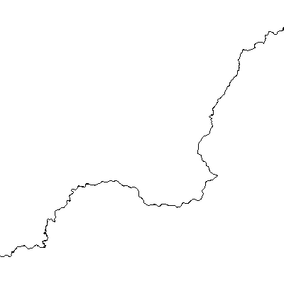
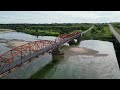
South Saskatchewan River is a river in Saskatchewan, home to Burbot, Cisco, and Goldeye, with 3 monitored water gauges.
🚧 River pages are a work in progress — more info coming soon!
Map
Access and Nearby Attractions
Connected Lakes
Water Level Stations
Water Stations on the South Saskatchewan River
These hydrometric water stations are linked directly to this river. View all water stations on South Saskatchewan River.
SOUTH SASKATCHEWAN RIVER AT MOON LAKE
05HG022
· Opens focused in water stations view
Latest:
N/A
|
Level:
N/A
|
Discharge:
N/A
SOUTH SASKATCHEWAN RIVER AT SASKATOON
05HG001
· Opens focused in water stations view
Latest:
2026-07-12 09:00:00 UTC
|
Level:
2.712 m
|
Discharge:
557.000 m3/s
SOUTH SASKATCHEWAN RIVER NEAR LEMSFORD
05HB001
· Opens focused in water stations view
Latest:
N/A
|
Level:
N/A
|
Discharge:
N/A
Live Cameras
Recent Activity
South Saskatchewan River
Report
Jul 3, 2026
Meewasin posted this on FB:
River Safety Advisory
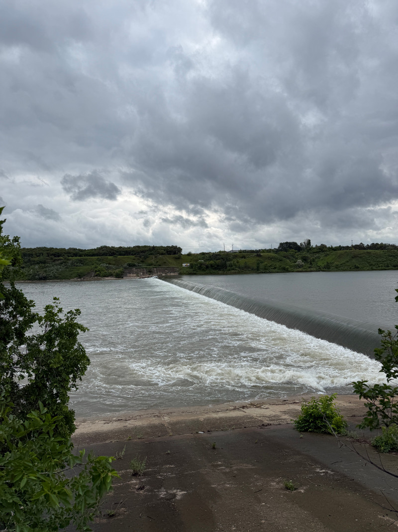
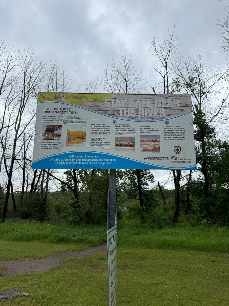
Due to increased flows on the South Saskatchewan River, river conditions have become hazardous, with higher water levels, faster-moving currents, and changing conditions.
For your safety, please stay out of the river and avoid all recreational activities, including:
• Boating
• Canoeing and kayaking
• Paddleboarding
• Swimming
• Floating
• Fishing from the shoreline
• Other water-based activities
Please also avoid approaching the river's edge. Fast-moving water, unstable banks, and submerged hazards can create dangerous situations.
Pet owners: Please keep pets leashed and away from the river and shoreline. Strong currents and unstable banks can pose serious risks to animals.
To help protect visitors, the following Meewasin-administered beach access sites are temporarily closed:
Poplar Bluffs Conservation Area
Fred Heal Canoe Launch
Paradise Beach
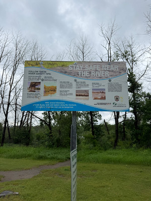
Cranberry Flats Conservation Area and Chief Whitecap Park remain open; however, visitors are urged to exercise extreme caution near the river and follow all posted safety signage.
The City will continue to closely monitor river conditions and flow rates. Updates and additional information will be posted on the City of Saskatoon Service Alerts webpage: saskatoon.ca/service-alerts
By Matt - SaskLakes.ca
•
1 week ago
South Saskatchewan River
Report
Jul 1, 2026
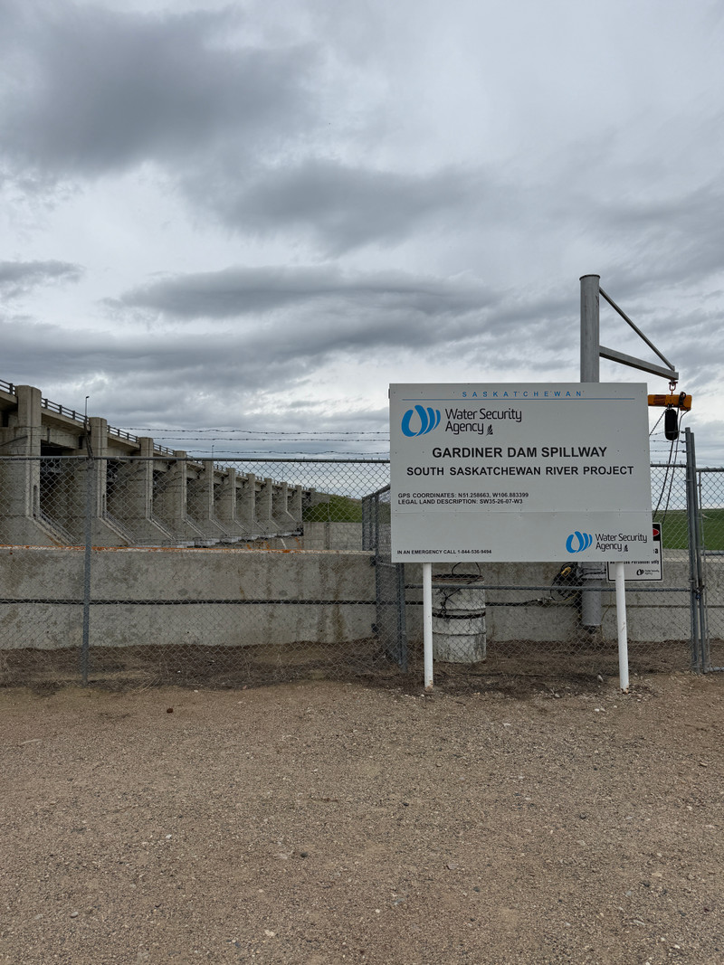
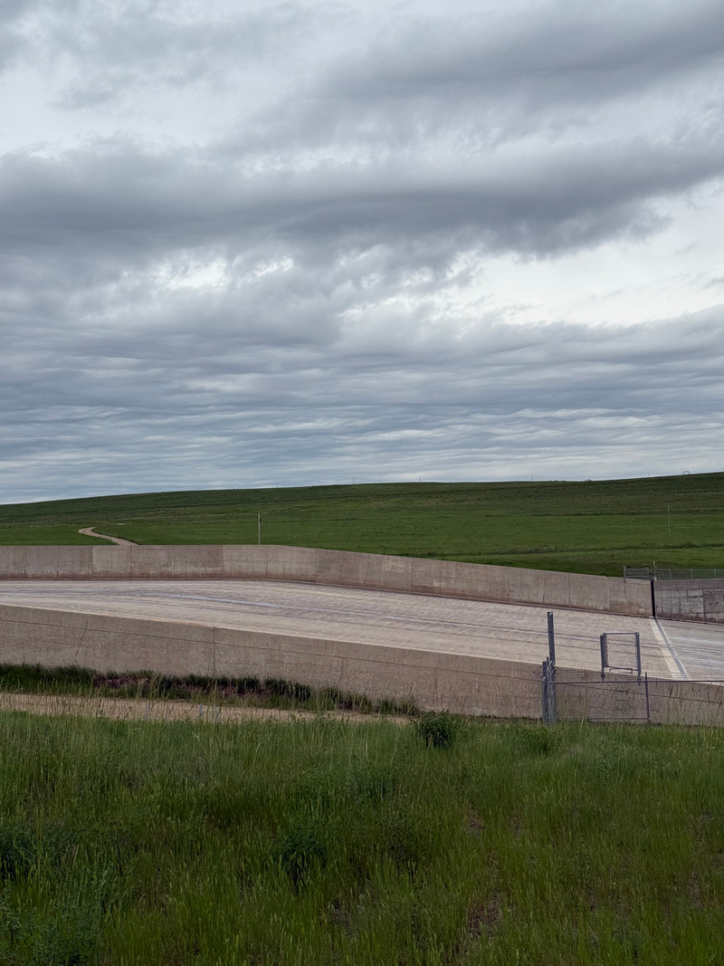
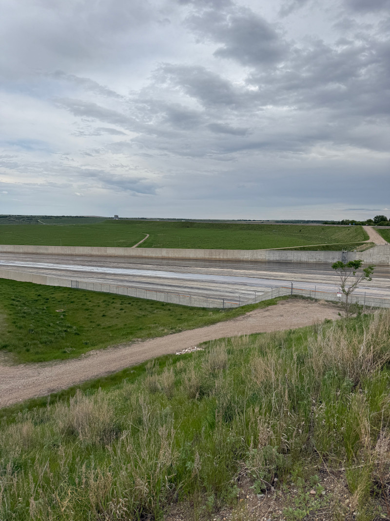
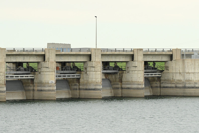
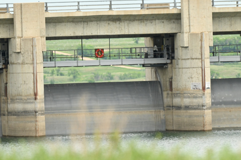
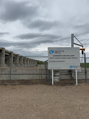
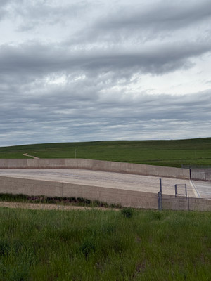
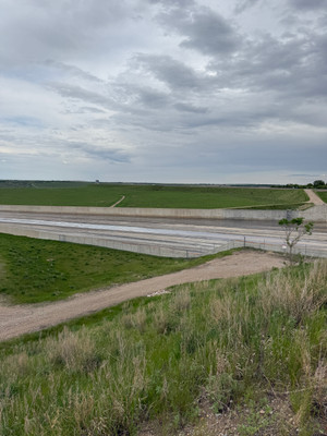
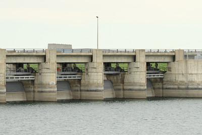
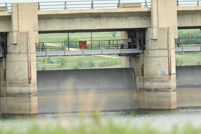
The Water Security Agency (WSA) will begin operating the spillway at Gardiner Dam this week following significant rainfall across Alberta that has dramatically increased inflows into Lake Diefenbaker.
Beginning July 2, outflows from Gardiner Dam will increase from approximately 270 cubic metres per second (m3/s) to 470 m3/s. On July 3, releases are expected to increase again to approximately 770 m3/s as spillway operations begin.
Current plans call for spillway operations to continue until approximately July 25, after which outflows will gradually be reduced back to 270 m3/s. WSA notes that additional increases could become necessary if more rainfall occurs or inflows into Lake Diefenbaker continue to rise.
By Matt - SaskLakes.ca
•
1 week ago
South Saskatchewan River
Report
Jun 12, 2026
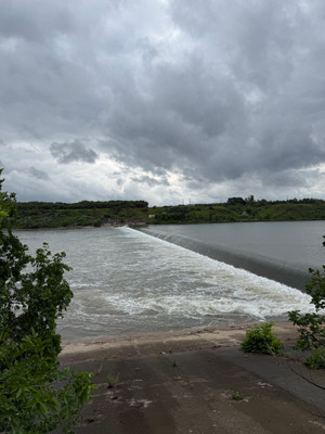
High water levels and fast flow on the South Saskatchewan right now. The City of Saskatoon has temporarily closed the Poplar Bluffs Conservation Area, Fred Heal Canoe Launch, and Paradise Beach due to potential safety risks.
By Matt - SaskLakes.ca
•
4 weeks ago
Fish and Stocking
Species reported
Burbot, Cisco, Goldeye, Lake Sturgeon, Lake Whitefish, Longnose Sucker, Mooneye, Northern Pike, Rainbow Trout, Sauger, Walleye, White Sucker, Yellow Perch
Record of fish stocked in South Saskatchewan River
| Stocked in 2008 with 11 Lake Sturgeon Fingerlings. |
Resources


Photos
Add Photos