Saskatchewan Lake Depth Maps
Explore bathymetric depth maps for lakes across Saskatchewan. These maps help anglers find underwater structure, boaters navigate safely, and outdoor enthusiasts better understand lake conditions.
Data comes from public hydrographic surveys, licensed mapping providers, and community contributions. Accuracy may vary by lake and dataset.
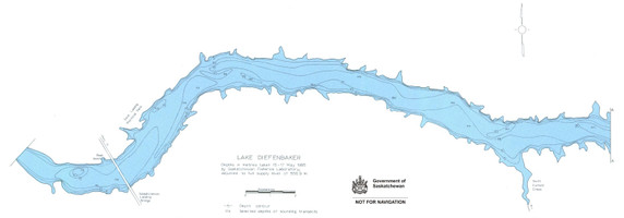
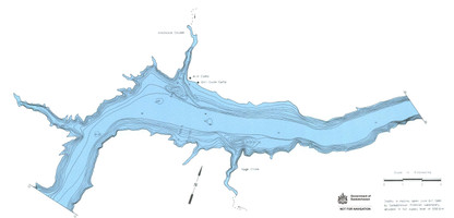
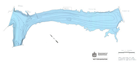
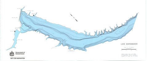
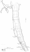
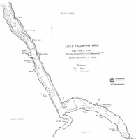
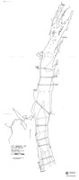
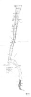
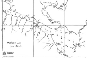
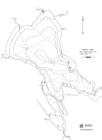
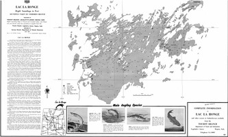
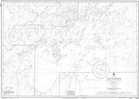
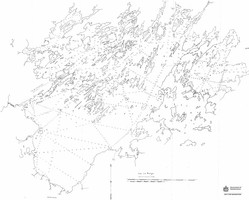
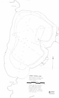
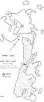
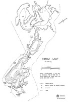
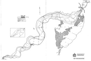
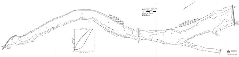
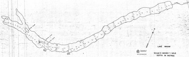
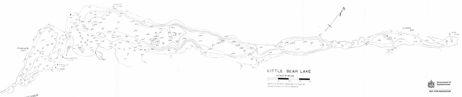
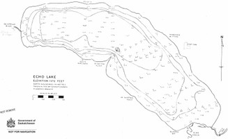
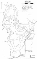
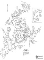
The majority of the maps on this page are very old bathy charts produced by the Saskatchewan government.
They were created by hand and are not based on modern sonar scans, so accuracy may vary. They are not designed to be used for navigation, but can be a helpful reference for anglers looking for structure and depth changes.
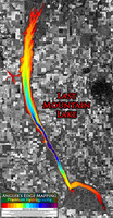
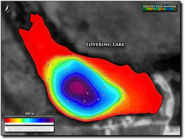
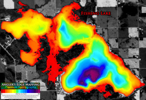
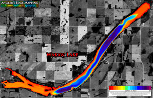
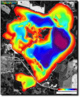
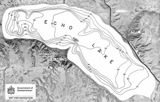
View SourceSmall Canadian business based out of Winnipeg, Manitoba. A couple years ago they established a survey team based out of Saskatchewan and have since added many high-resolution digital and printed maps of Saskatchewan lakes to their catalogue.
AEM uses modern sonar technology and hundreds of hours on the water annually to log the data upon which their maps are based. AEM has plans to survey many more Saskatchewan lakes over the next few years!
Learn more about AEMOther companies also produce depth maps for Saskatchewan lakes. These do not show up in the search results. Availability varies by lake and provider.

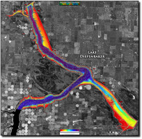
Lake Diefenbaker


Last Mountain Lake


Waskesiu Lake


Anglin Lake


Candle Lake


Sturgeon Lake


Lac la Ronge


Lower Fishing Lake


Emma Lake


Tobin Lake


Lovering Lakes


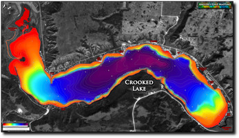
Crooked Lake


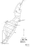
Turtle Lake


Blackstrap Lake


Delaronde Lake


Fishing Lake


Wakaw Lake


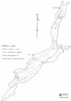
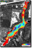
Piprell Lake


Little Bear Lake


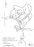
Iroquois Lake


Lac des Îles


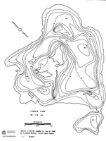
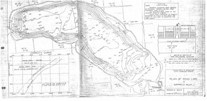
Echo Lake


Good Spirit Lake


Greig Lake


Jan Lake


No more results.
