Heads up!
Matt here, I'm going to be out of cell service till the 20th at the earliest.
Most of SaskLakes is automated and updates on its own, but some content/updates may be delayed, and I won't be able to respond to any emails/messages till I get back.
Thanks for your patience!
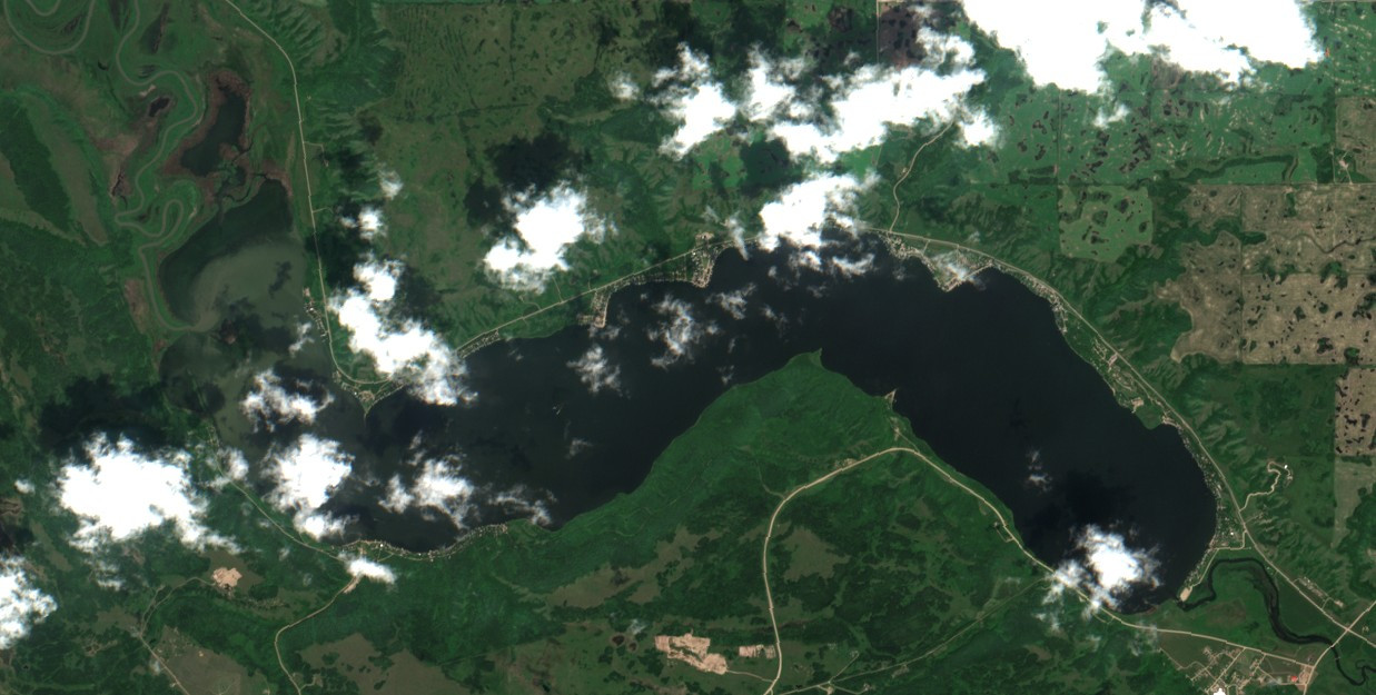
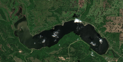
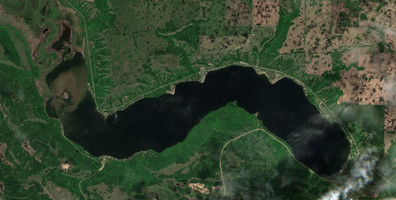
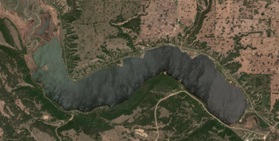
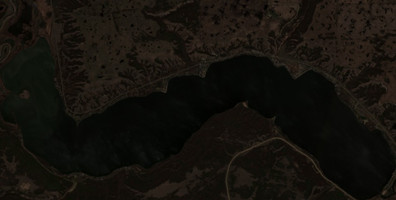
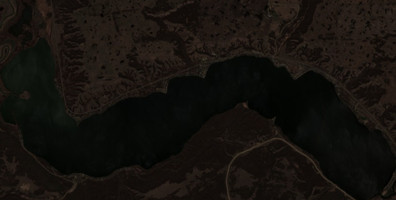
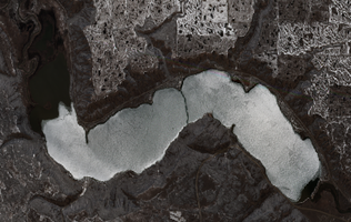
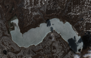
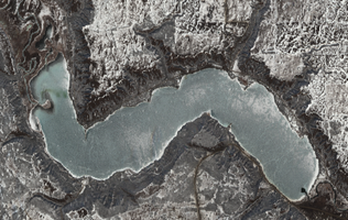
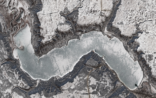
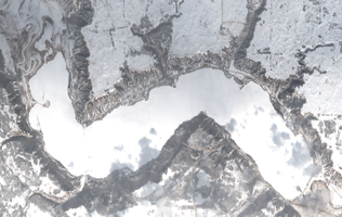
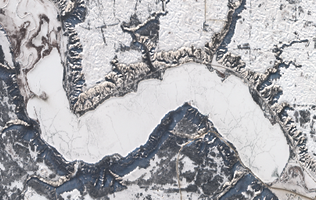
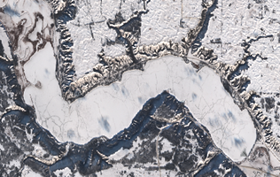
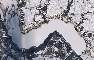
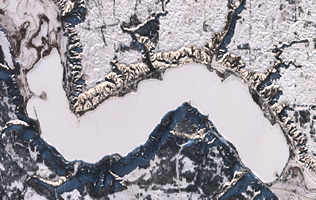
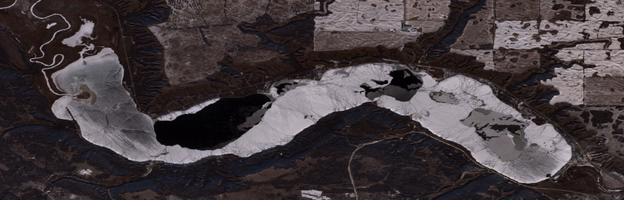
Satellite Images of Crooked Lake
Explore the latest satellite images of Crooked Lake. These images are captured by the European Union's Copernicus Programme.
The system automatically downloads the newest satellite images, but you can manually check for new images if you want by clicking the button below.
Checking for newer satellite imagery...
This can take 10-30 seconds depending on satellite availability.
- Checking for new imagery
- Downloading satellite data
- Processing image tiles
- Refreshing the page automatically
Get Updates
Get notified when new satellite images are available for this lake.
Early feature — notifications coming soon.
Jul 18, 2026
Jul 18, 2026
Jul 18, 2026
May 20, 2026
May 13, 2026

Apr 30, 2026
Apr 20, 2026
Apr 10, 2026
Mar 19, 2026
Mar 09, 2026
Feb 27, 2026
Jan 30, 2026
Jan 18, 2026
Jan 07, 2026
Dec 21, 2025

Dec 18, 2025
Dec 01, 2025
Data Sources & References
- Weather data: OpenWeather - https://openweathermap.org/
- Satellite imagery: © European Union, Copernicus Programme (Sentinel data) - https://www.copernicus.eu/