Lac la Ronge

Search this page
Lac la Ronge is an incredibly popular lake in northern Saskatchewan on the edge of the Canadian Shield. The lake is located 220km NNE of Prince Albert. Highway 2 passes on the west side of the lake ending at La Ronge where it becomes Highway 102.
Lac La Ronge is the fourth largest lake in the province and is a popular recreational and fishing destination with a large year round population at various communities around the lake.
The town of La Ronge, village of Air Ronge and Lac La Ronge First Nation are all located on the west side of the lake. Lac La Ronge Provincial Park starts at La Ronge and continues around the lake to the southwest corner.
The Nut Point Campground within the provincial park has a boat launch, campsites, and the very popular Nut Point Hiking Trail (currently closed due to wildfire damage).
There are sandy beaches and boat launches located in La Ronge, Air Ronge and Wadin Bay.
The community of Napatak is located south of La Ronge and has two boat launches. There are additional launches at Wadin Bay and English Bay. The Sucker River reserve is located north of Wadin Bay.
Fishing
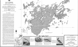
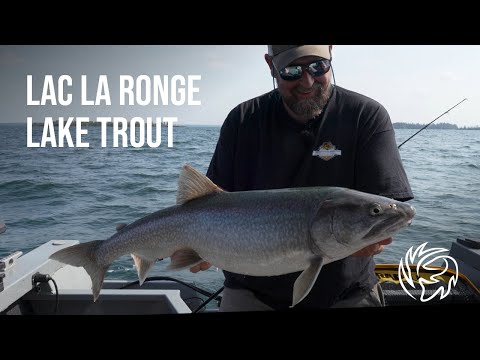
Walleye, Lake Trout, Northern Pike, Cisco, White Sucker, Longnose Sucker, Lake Whitefish, Burbot and Yellow Perch can be found in Lac la Ronge. The lake is a catch-and-release (CR1) water: Barbless hooks are mandatory on Lac La Ronge. There are custom limits for lake trout, northern pike, and walleye on the lake. Part of the the lake within 1km of river mouth is closed to angling all year
Geomemorial
Lac La Ronge might have the most features in the lake named after veterans through the geomemorial program. There are 51 islands, points, bays, and channels, named after veterans on the lake.
Lac La Ronge Dam
The Lac La Ronge Dam regulates water level on the lake and was first built in 1966. It has been upgraded a few times, and a fish ladder was installed in 2007.
Official Lake Partner

Lake Country Co-op
Lake Country Co-op offers fuel, groceries, and many other services right in La Ronge. Great place to stop if you're heading out on the lake, or venturing further north!
Closest locations
- La Ronge Gas Bar - Lake Country Co-op (0.6 km)
- Air Ronge Gas Bar - Lake Country Co-op (1.3 km)
- La Ronge Grocery Store - Lake Country Co-op (1.3 km)
Current Conditions
Weather
Quick weather at a glance. Tap for full details.
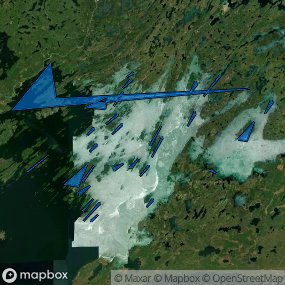
Satellite
Recent imagery around Lac la Ronge.
Live Cameras
Latest image snapshots from cameras at this lake.
Nearby Water Stations
Quick links to nearby gauge stations and latest readings.
Details
| Fishing Zone: | Central Zone |
| User Rating: | 5.0 / 5.0 |
| Favourited: | 1 times |
| Photos: | 85 photos of Lac la Ronge |
| Communities: | La Ronge, Air Ronge |
| Parks: | Lac La Ronge Provincial Park |
| Location: | 55.140414593947, -104.88940893133 |
| Shore Length: | 773km |
| Surface Area: | 333,381 acres |
| Max Depth: | 42.1 m (138 ft) |
| Inflows: | Montreal River, Bow River, Nemeiben River, Nipekamew River, Meeyomoot River |
| Outflows: | Rapid River |
Recent Activity
Patterson Park swim raft is in the water!
Looks like still quite a bit of ice out on the lake. Check out the photo in the link.
Looks like still quite a bit of ice out on the lake. Check out the photo in the link.
Snowed this morning up at the lake.
Comments, experiences, questions, and answers
Add CommentRating from
Comment from
Question from
Reply from
Directions to Lac la Ronge
Get directions to the lake: here
Note: this just takes you to the closest road to the centre of the lake, and may not be the best route to get to the lake.
For directions directly to a service/amenity at the lake click on one of the listings in Services & Amenities
Geomemorial Information
There are 51 features at Lac la Ronge named as part of the Geomemorial Naming Program.
Events
I don't know of any events at this time.
Lac La Ronge Provincial Park
Lac La Ronge Provincial Park is located at Lac la Ronge.
Website:
https://www.tourismsaskatchewan.com/provincialpark/1430/lac-la-ronge-provincial-park
Fishing at Lac la Ronge
Lac la Ronge is in the central fishing zone.
Permission from the First Nation Chief or Band Council is required to fish on First Nations reserve lands.
What fish are in Lac la Ronge
Learn all about fishing in Saskatchewan here.
Additional Restrictions:
Mandatory Barbless Hooks
Fishing Season
Fishing season on Lac la Ronge is from May 15, 2026 to March 31, 2027.
Additional Restrictions:
-
Part Of Lac La Ronge Within 1 Km Of River Mouth Closed To Angling All Year
Fishing Limits for Lac la Ronge
This lake is a catch-and-release (CR) water (CR1). Special limits apply and barbless hooks are mandatory when fishing here.
| Species | Limit |
| Lake Trout | Limit 2 (Only one may exceed 65 cm) |
| Northern Pike | Limit 3 (Only one may exceed 75 cm) |
| Yellow Perch | Limit 25 |
| Walleye | Limit 2 (only one may exceed 55 cm, combined limit for Walleye/Sauger/Saugeye) |
| Lake Whitefish | Limit 8 (combined limit for all whitefish) |
| Burbot | Limit 8 |
| Cisco | Limit 8 (combined limit for all whitefish) |
Disclaimer
Although we try our best to provide correct and updated information for every lake in Saskatchewan, all information on this site is provided to use at your own risk. Please reference the Saskatchewan Anglers Guide for more information.
Fish Facts
|
|
Lake trout: (360 - 5350 g) Burbot: (370 - 3650 g) | Aug 22 - 26. Gill nets. SPIN (Summer Profundal Index Netting) assessment. Lake trout population estimate and size range is similar to initial SPIN survey in 2016. |
|
|
Walleye: (24 to 35 cm) Sparse Pike: (21.4 to 109.1 cm) Good Perch: (13.2 to 30 cm) Poor Whitefish: (30.9 to 53.6 cm) Poor Burbot: (61.7 to 77 cm) Sparse | May 5-13. Trap nets. Spring spawning run investigation. Live release of all fish. Pike numbers have increased, while walleye numbers have decreased since the initial investigation in 2016. Changes in ice off date from 2016 to 2021 may have impacted spawning run fish numbers in 2021. |
|
|
*Trap nets were used in this survey. Recordings will be shown in length. Lake Trout (52.5 - 103.0 cm) | September 24-October 7, 2019 Boat access from La Ronge town site. Ongoing lake trout spawning survey with lake trout abundance consistent with previous survey. All captured lake trout were tagged with yellow T-bar tags* along the back of the fish and released. *Anglers asked to record tag numbers and report to: [email protected]. |
|
|
Lake Trout (51.6-104.2 cm) | Sept 26 - Oct 11, 2023. Gill nets. Spawning survey for lake trout using small mesh gill nets. Population is showing continual improvements. |
|
|
Lake Trout: 200 g - 10,950 g Walleye: 740 g - 3,070 g Burbot: 330 g - 2,800 g | August 21 - 22 (gill nets) Follow up to the 2010 Summer Profundal Index Netting (SPIN) assessment. Lake trout numbers remain at similar levels to the 2010 survey. Angling success reported as fair to good for lake trout. |
|
|
Walleye: (21.7 - 60.2 cm) Pike: (30.5 - 101.7 cm) Perch: Sparse Whitefish: Sparse Burbot: Sparse | May 3 - 19 / Trap nets. Initial spring spawning run investigation. Live release of all fish. Boat access from La Ronge townsite. |
|
|
Lake trout: (440 - 7620 g) | Aug 23 - Sept 7 / Gill nets. Initial SPIN (Summer Profundal Index Netting) assessment. Boat access from La Ronge townsite. |
|
|
Walleye: (42.9 - 78.4 cm) Pike: (29.6 - 92.6 cm) | May 18 - 28 / Trap net. Spring post-spawn investigation - all fish released. Walleye and pike numbers have increased since the last assessment in 2010. Boat access from La Ronge town site. |
|
|
Lake trout: (1320 - 11200 g) | September 24 - Oct 9 / Gill nets. Ongoing lake trout spawning survey. Lake trout numbers have increased since the last assessment in 2011. Boat access from La Ronge town site. |
Fishing Attractions/Services at Lac la Ronge
Boating at Lac la Ronge
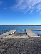
There are 6 boat launches/marinas at Lac la Ronge.
Camping at Lac la Ronge
There are 2 campgrounds at Lac la Ronge.
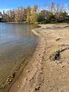
Beaches at Lac la Ronge
There are 7 beaches at Lac la Ronge.
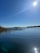
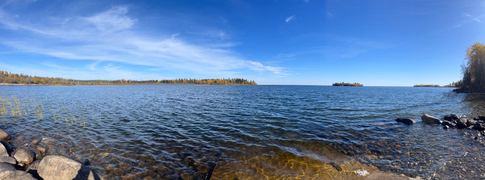
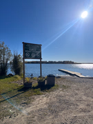
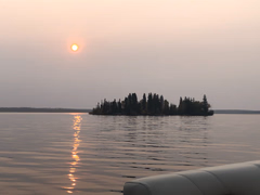
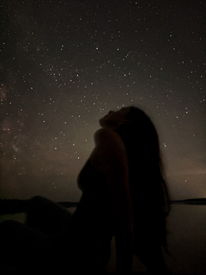
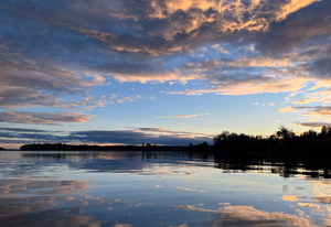
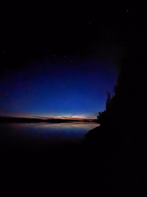
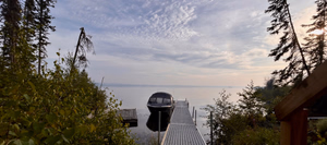
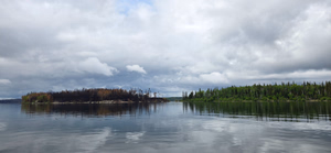
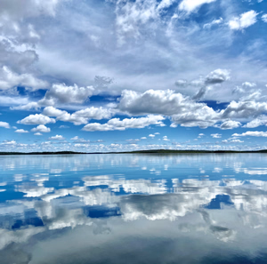
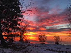
Photos of Lac la Ronge
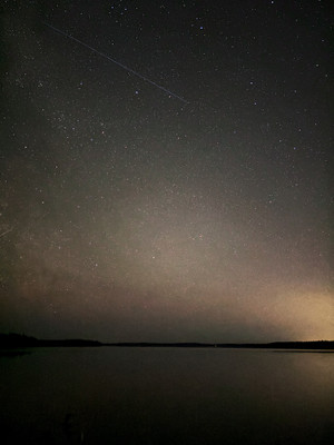
Lac la Ronge
Lac la Ronge
Lac la Ronge
Simple moments..
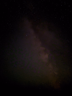
Lac la Ronge

Lac la Ronge
Lac la Ronge

Lac la Ronge
Lac la Ronge
Getting for a day of Lake Trout fishing.
Lac la Ronge
Lucky vs Unlucky
Lac la Ronge
A perfect day on Lac LaRonge
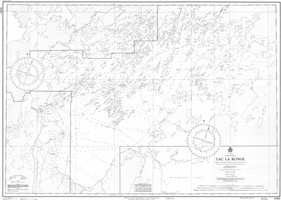
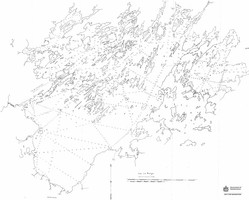
Bathymetric Maps
Bathymetric (Depth) Charts for Lac la Ronge


Nearby Services & Amenities
Communities near Lac la Ronge
Connected Rivers
Connected Rivers
Nearby Lakes


Products for Lac la Ronge
Resources
Resources
References
References
Other References
- Lac la Ronge (Wikipedia)
- Lac la Ronge (Canadian Geographical Names Database)
- https://www.laronge.ca/
- La Ronge (Canadian Geographical Names Database)
- https://airronge.ca/
- Air Ronge (Canadian Geographical Names Database)
- https://www.tourismsaskatchewan.com/listings/1444/nut-point-campground
- https://www.tourismsaskatchewan.com/listings/1450/wadin-bay-campground
- Dunbar Point (Canadian Geographical Names Database)
- Ferguson Point (Canadian Geographical Names Database)
- Campbell Channel (Canadian Geographical Names Database)
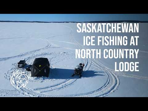
- https://icefishingrentals.ca
- LAC LA RONGE
Data Sources & References
- Weather data: OpenWeather - https://openweathermap.org/
- Satellite imagery: © European Union, Copernicus Programme (Sentinel data) - https://www.copernicus.eu/
View full details on your catch log.
View full details on your catch log.
View full details on your catch log.
View full details on your catch log.
View full details on your catch log.
View full details on your catch log.
View full details on your catch log.
View full details on your catch log.