Lake
Lac la Ronge
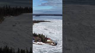
Lac la Ronge is an incredibly popular lake in northern Saskatchewan on the edge of the Canadian Shield. The lake is located 220km NNE of Prince Albert. Highway 2 passes on the west side of the lake ending at La Ronge where it becomes Highway 102.
Lac La Ronge is the fourth largest lake in the province and is a popular recreational and fishing destination with a large year round population at various communities around the lake.
The town of La Ronge, village of Air Ronge and Lac La Ronge First Nation are all located on the west side of the lake. [Lac La Ronge Provincial Park](/lac-la-ronge-provincial-park/) starts at La Ronge and continues around the lake to the southwest corner.
The Nut Point Campground within the provincial park has a boat launch, campsites, and the very popular Nut Point Hiking Trail (currently closed due to wildfire damage).
There are sandy beaches and boat launches located in La Ronge, Air Ronge and Wadin Bay.
The community of Napatak is located south of La Ronge and has two boat launches. There are additional launches at Wadin Bay and English Bay. The Sucker River reserve is located north of Wadin Bay.
## Fishing
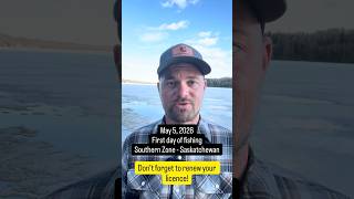
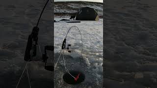
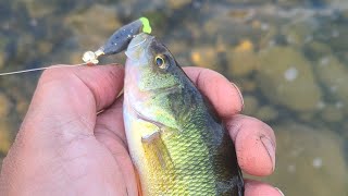
Walleye, Lake Trout, Northern Pike, Cisco, White Sucker, Longnose Sucker, Lake Whitefish, Burbot and Yellow Perch can be found in Lac la Ronge. **The lake is a catch-and-release (CR1) water: Barbless hooks are mandatory on Lac La Ronge. There are custom limits for lake trout, northern pike, and walleye on the lake. Part of the the lake within 1km of river mouth is closed to angling all year**
## Geomemorial
Lac La Ronge might have the most features in the lake named after veterans through the [geomemorial program](/geomemorial-commemorative-naming-program/). There are [51 islands, points, bays, and channels](#geomemorial), named after veterans on the lake.
##Lac La Ronge Dam
The Lac La Ronge Dam regulates water level on the lake and was first built in 1966. It has been upgraded a few times, and a fish ladder was installed in 2007.