Namekus Lake

Search this page
Namekus Lake is a medium-sized (2,132 acre) recreational and fishing lake located within Prince Albert National Park on the scenic highway (#263). It is 15km S of Waskesiu and about 100km driving from Prince Albert.
The farthest east section of the lake extends outside of the National Park.
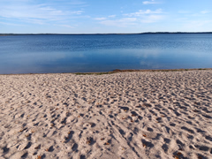
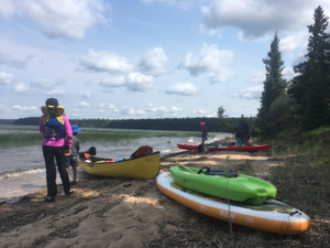
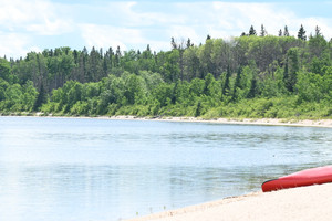
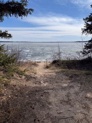
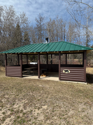
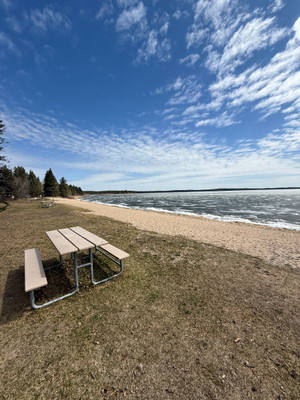
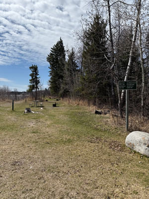
There is a campground, picnic sites, and a great beach. No motors are allowed on the lake, and there is no boat launch, which makes this a great lake for paddling, swimming, or a lakefront picnic! It's an awesome day trip from Prince Albert and a smaller lake to spend time on if Waskesiu Lake is rough.
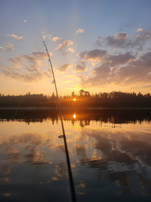
Namekus is the Woods Cree word for lake trout. You won't find them in the lake, but northern pike, walleye, and whitefish can all be found. If you plan on fishing, you'll need a National Park license and need to follow National Park rules and regulations.
From Namekus Lake it is possible to paddle through Trappers Creek to Trappers Lake and eventually to Anglin Lake. Read more on the Eb's Source for Adventure Blog.
Current Conditions
Weather
Quick weather at a glance. Tap for full details.
Satellite
Recent imagery around Namekus Lake.
Nearby Water Stations
Quick links to nearby gauge stations and latest readings.
Details
| User Rating: | 5.0 / 5.0 |
| Favourited: | 4 times |
| Photos: | 29 photos of Namekus Lake |
| RM: | The District of Lakeland No. 521 |
| Parks: | Prince Albert National Park |
| Location: | 53.827223360767, -106.02792694858 |
| Shore Length: | 11km |
| Surface Area: | 2,132 acres |
Comments, experiences, questions, and answers
Add CommentRating from
Comment from
Question from
Reply from
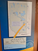
Directions to Namekus Lake
Accessible from Highway 263. There is a short section of gravel to the lake.
Get directions to the lake: here
Note: this just takes you to the closest road to the centre of the lake, and may not be the best route to get to the lake.
For directions directly to a service/amenity at the lake click on one of the listings in Services & Amenities
Events
I don't know of any events at this time.
Prince Albert National Park
Prince Albert National Park is located at Namekus Lake.
Phone: 306-663-4522
Email:
[email protected]
Website:
https://parks.canada.ca/pn-np/sk/princealbert
Fishing at Namekus Lake
Namekus Lake is in the central fishing zone but since this lake is in the National Park different fishing limits and license requirements apply.
Fishing season on Namekus Lake is open from The Saturday before Victoria Day to September 30.
Fishing Limits for Namekus Lake within Prince Albert National Park
| Species | Limit |
| All Game Fish in Aggregate | Limit 5 |
| Northern Pike | Limit 3 |
| Walleye | Limit 2 |
| Lake Whitefish | Limit 5 (combined limit for all whitefish) |
Disclaimer
Although I try my best to provide correct and updated information for the lakes in the National Park, all information on this site is provided to use at your own risk. Please reference PANP website for more information.
Fishing Attractions/Services at Namekus Lake
Boating at Namekus Lake
The following restrictions apply to the lake
- Starting April 15, 2025 watercraft require an AIS Certification Permit before entering park waters.
- Motors are not allowed on this lake.
- Personal watercraft such as Jet Ski, WaveRunner, or Sea-Doo are not permitted on park waters.
- All watercraft must conform to federal small vessel and pleasure craft regulations.
Learn more about boating in the National Park.
There is 1 boat launch/marina at Namekus Lake.
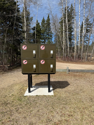
Camping at Namekus Lake
There is a non-reservable campsite at the lake.
There is 1 campground at Namekus Lake.
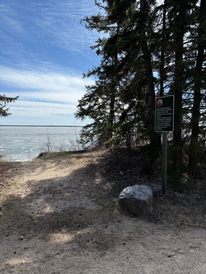
Beaches at Namekus Lake
Photos of Namekus Lake

Namekus Lake
Even before most of the ice was off the lake, the cloud reflections were fabulous. On beautiful days with some clouds and no wind, this lake is exceptional for reflections!!! May 21, 2026
Namekus Lake
Namekus Lake
Namekus Lake
Namekus Lake
Namekus Lake
Namekus Lake
Namekus Lake
Namekus Lake
Namekus Lake
Bathymetric Maps
Bathymetric (Depth) Charts for Namekus Lake
Nearby Services & Amenities
Nearby Lakes


Products for Namekus Lake
References
References
Data Sources & References
- Weather data: OpenWeather - https://openweathermap.org/
- Satellite imagery: © European Union, Copernicus Programme (Sentinel data) - https://www.copernicus.eu/
View full details on your catch log.
View full details on your catch log.
View full details on your catch log.
View full details on your catch log.