Borys Lake
Search this page
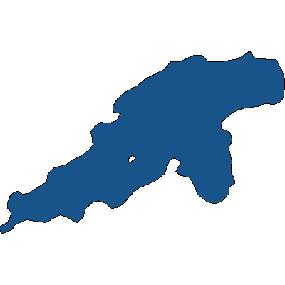
Borys Lake is a very small lake in central Saskatchewan. It is located 70km NNE of La Ronge.
Borys Lake is named after Steven Borys. Learn more about the GeoMemorial Naming Program.
Current Conditions
Weather
Quick weather at a glance. Tap for full details.
Satellite
Recent imagery around Borys Lake.
Nearby Water Stations
Quick links to nearby gauge stations and latest readings.
Details
| Fishing Zone: | Central Zone |
| Named After: | Steven Borys |
| Location: | 55.724542683309, -104.99312516121 |
| Shore Length: | 4km |
| Surface Area: | 77 acres |
Rating from
Comment from
Question from
Reply from
Directions to Borys Lake
Get directions to the lake: here
Note: this just takes you to the closest road to the centre of the lake, and may not be the best route to get to the lake.
For directions directly to a service/amenity at the lake click on one of the listings in Services & Amenities
Geomemorial Information
Borys Lake was named after Steven Borys as part of the GeoMemorial Commemorative Naming Program.
Events
I don't know of any events at this time.
Fishing at Borys Lake
Borys Lake is in the central fishing zone.
What fish are in Borys Lake
We don't know of any fish species that can be found in Borys Lake. Please let me know if you do!
Additional Restrictions:
Fishing Season
Fishing season on Borys Lake is from May 15, 2026 to March 31, 2027.
Disclaimer
Although we try our best to provide correct and updated information for every lake in Saskatchewan, all information on this site is provided to use at your own risk. Please reference the Saskatchewan Anglers Guide for more information.
Fishing Attractions/Services at Borys Lake
Boating at Borys Lake
I don't have any boat launches, or marinas reported for this lake. Let me know if I'm missing one!
Camping at Borys Lake
Beaches at Borys Lake
Bathymetric Maps
Bathymetric (Depth) Charts for Borys Lake
Nearby Services & Amenities
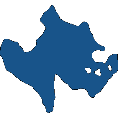
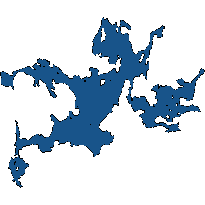
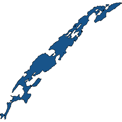
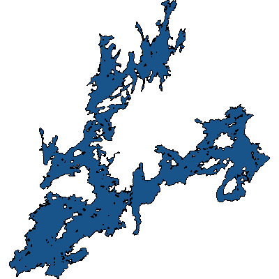
Nearby Lakes

Products for Borys Lake
References
References
Data Sources & References
- Weather data: OpenWeather - https://openweathermap.org/
- Satellite imagery: © European Union, Copernicus Programme (Sentinel data) - https://www.copernicus.eu/
Comments, experiences, questions, and answers
Add Comment