Satellite Images of Candle Lake
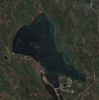
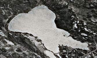
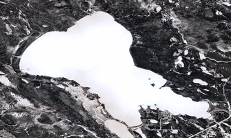
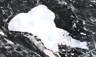
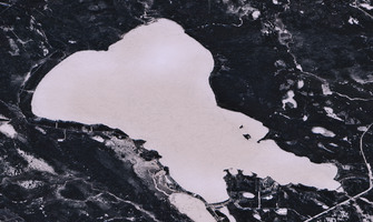
Explore the latest satellite images of Candle Lake. These images are captured by the European Union's Copernicus Programme.
The system automatically downloads the newest satellite images, but you can manually check for new images if you want by clicking the button below.
- Checking for new imagery
- Downloading satellite data
- Processing image tiles
- Refreshing the page automatically
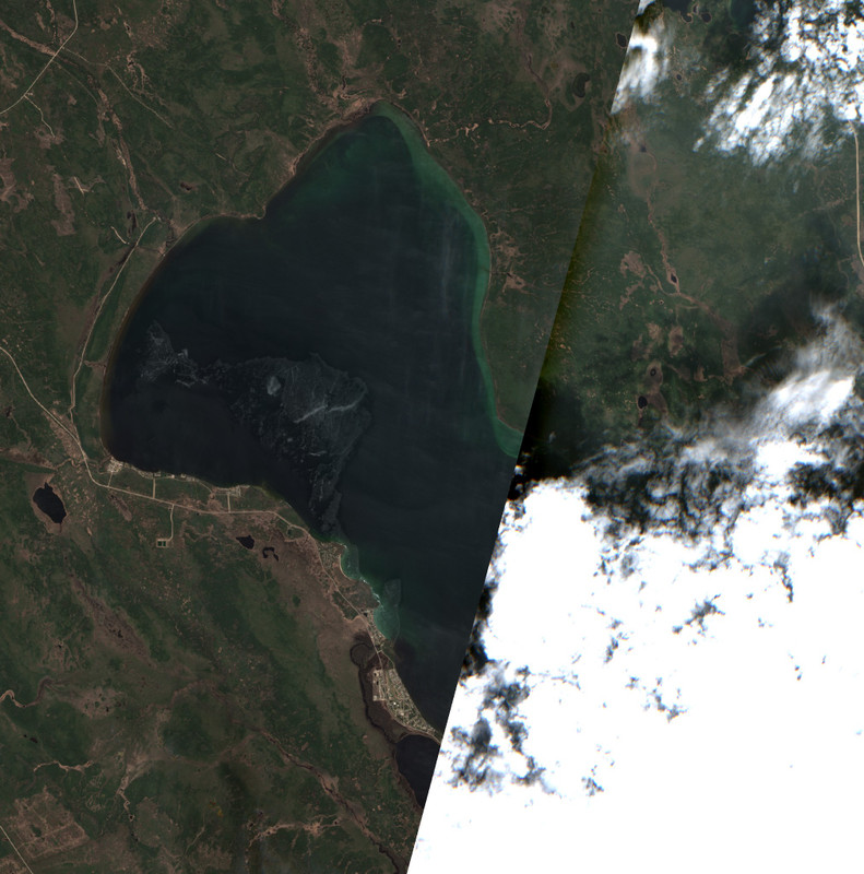
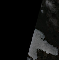
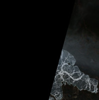
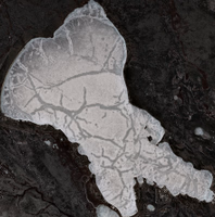
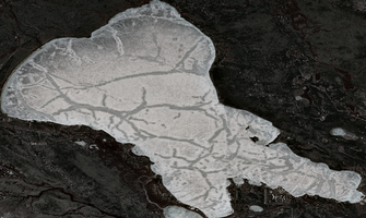
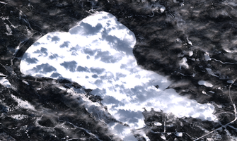
Showing an image captured between May 24 and May 31. This image may be cloudy or lower quality than the best available scene, but it gives you a more up-to-date view of the lake.
Get Updates
Get notified when new satellite images are available for this lake.
Data Sources & References
- Weather data: OpenWeather - https://openweathermap.org/
- Satellite imagery: © European Union, Copernicus Programme (Sentinel data) - https://www.copernicus.eu/