Shady Lake

Search this page
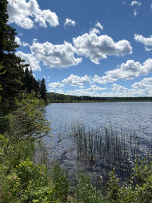
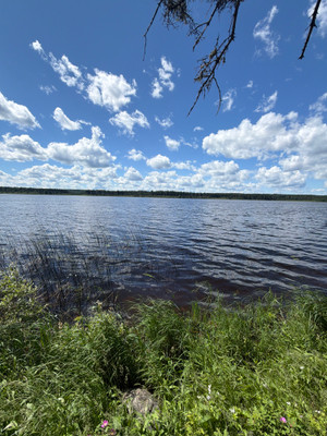
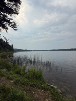
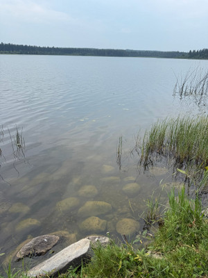
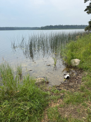
Shady Lake is a small, pretty lake in Prince Albert National Park, just south of Waskesiu Lake.
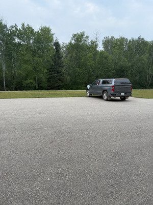
There is no road access to the lake itself, but there is a parking lot off Highway 263 with a trail down to the water. It is also possible to paddle/portage from Amiskowan Lake into Shady Lake.
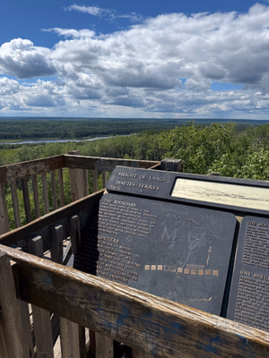
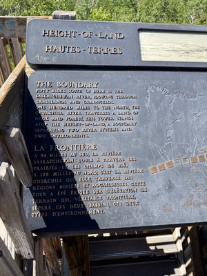
The trail from the parking lot is a 1.7 km loop and drops pretty steeply down to the water, which makes for a bit of a climb back up. There is also a trail spur that connects to the Height of Land Tower which offers a great view of the surrounding area.
This is a really pretty, quiet little lake. It's a great spot for a hike or a paddle!
Shady Lake is part of the canoe route from Amiskowan Lake into the campground at Beartrap Lake
Walleye and northern pike can be found in Shady Lake.
Current Conditions
Weather
Quick weather at a glance. Tap for full details.
Satellite
Recent imagery around Shady Lake.
Nearby Water Stations
Quick links to nearby gauge stations and latest readings.
Details
| User Rating: | 5.0 / 5.0 |
| Favourited: | 1 times |
| Photos: | 14 photos of Shady Lake |
| Parks: | Prince Albert National Park |
| Location: | 53.873034462108, -106.11733301832 |
| Shore Length: | 7km |
| Surface Area: | 237 acres |
Comments, experiences, questions, and answers
Add CommentRating from
Comment from
Question from
Reply from
Directions to Shady Lake
Get directions to the lake: here
Note: this just takes you to the closest road to the centre of the lake, and may not be the best route to get to the lake.
For directions directly to a service/amenity at the lake click on one of the listings in Services & Amenities
Events
I don't know of any events at this time.
Prince Albert National Park
Phone: 306-663-4522
Email:
[email protected]
Website:
https://parks.canada.ca/pn-np/sk/princealbert
Fishing at Shady Lake
Shady Lake is in the central fishing zone but since this lake is in the National Park different fishing limits and license requirements apply.
Fishing season on Shady Lake is open from The Saturday before Victoria Day to September 30.
Fishing Limits for Shady Lake within Prince Albert National Park
| Species | Limit |
| All Game Fish in Aggregate | Limit 5 |
| Northern Pike | Limit 3 |
| Walleye | Limit 2 |
Disclaimer
Although I try my best to provide correct and updated information for the lakes in the National Park, all information on this site is provided to use at your own risk. Please reference PANP website for more information.
Fishing Attractions/Services at Shady Lake
Boating at Shady Lake
There are no boat launches on the lake, it might be possible to carry a canoe/kayak down the trail and launch it but that would be quite a walk. Portaging from Amiskowan is the easiest way to get a kayak/canoe onto the lake.
The following restrictions apply to the lake
- Starting April 15, 2025 watercraft require an AIS Certification Permit before entering park waters.
- Motors are not allowed on this lake.
- Personal watercraft such as Jet Ski, WaveRunner, or Sea-Doo are not permitted on park waters.
- All watercraft must conform to federal small vessel and pleasure craft regulations.
Camping at Shady Lake
There is no camping at Shady Lake, but there are several campgrounds nearby on Waskesiu Lake.
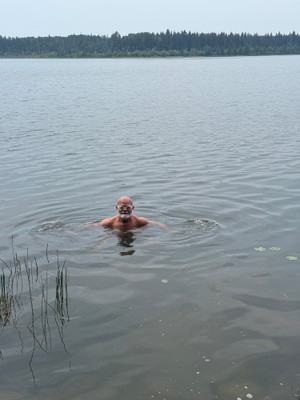
Photos of Shady Lake
Shady Lake
Shady Lake
Shady Lake
Shady Lake
Shady Lake
Shady Lake
Parking lot just off the highway with a trail down to the lake.
Shady Lake
Shady Lake
Shady Lake
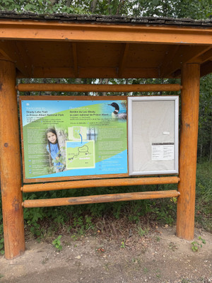
Info sign up at the parking lot.
Shady Lake
Bathymetric Maps
Bathymetric (Depth) Charts for Shady Lake
Nearby Services & Amenities
Connected Rivers
Connected Rivers
Nearby Lakes


Products for Shady Lake
References
Data Sources & References
- Weather data: OpenWeather - https://openweathermap.org/
- Satellite imagery: © European Union, Copernicus Programme (Sentinel data) - https://www.copernicus.eu/
View full details on your catch log.
View full details on your catch log.