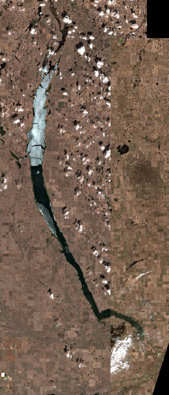
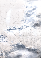
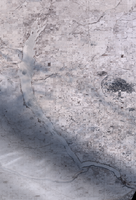
Satellite Images of Last Mountain Lake
Explore the latest satellite images of Last Mountain Lake. These images are captured by the European Union's Copernicus Programme.
The system automatically downloads the newest satellite images, but you can manually check for new images if you want by clicking the button below.
Checking for newer satellite imagery...
This can take 10-30 seconds depending on satellite availability.
- Checking for new imagery
- Downloading satellite data
- Processing image tiles
- Refreshing the page automatically
Get Updates
Get notified when new satellite images are available for this lake.
Early feature — notifications coming soon.

May 20, 2026

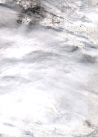
May 13, 2026

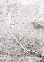
May 11, 2026

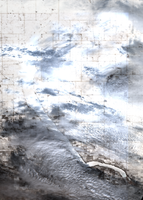
May 06, 2026

May 06, 2026

May 01, 2026
Apr 18, 2026

Apr 10, 2026

Apr 06, 2026
Mar 27, 2026
Mar 17, 2026
Feb 25, 2026

Feb 12, 2026

Jan 21, 2026

Jan 18, 2026

Dec 21, 2025
Dec 12, 2025
Data Sources & References
- Weather data: OpenWeather - https://openweathermap.org/
- Satellite imagery: © European Union, Copernicus Programme (Sentinel data) - https://www.copernicus.eu/