Crooked Lake
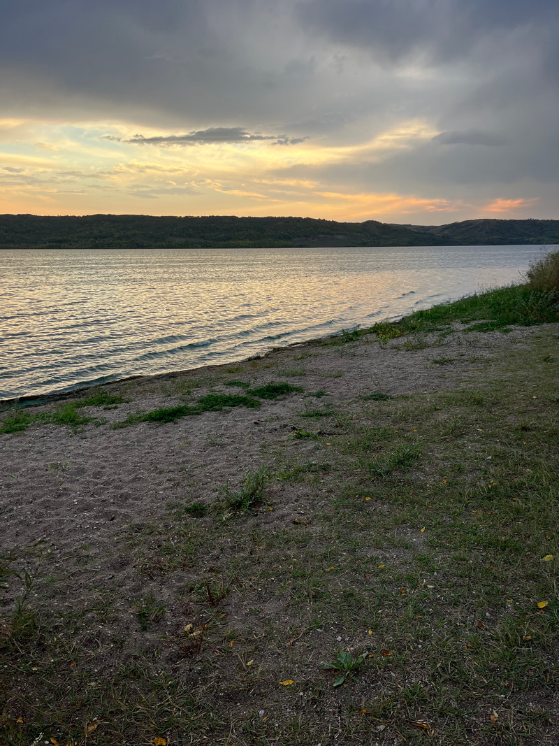
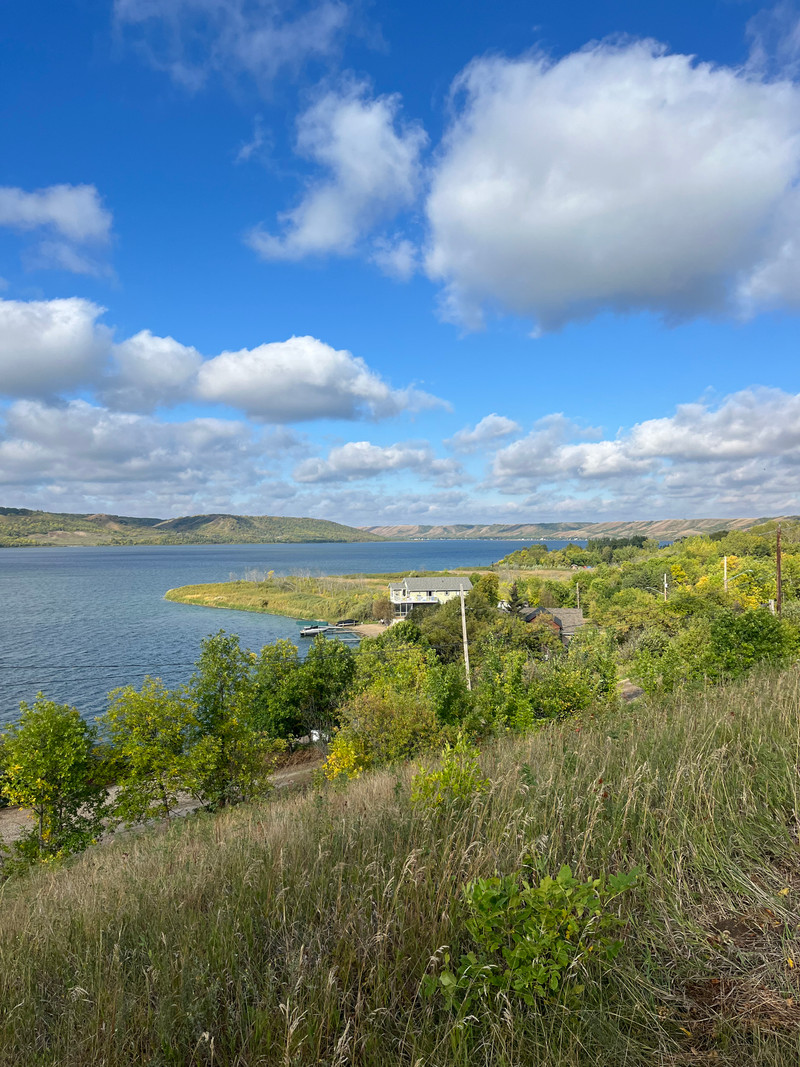
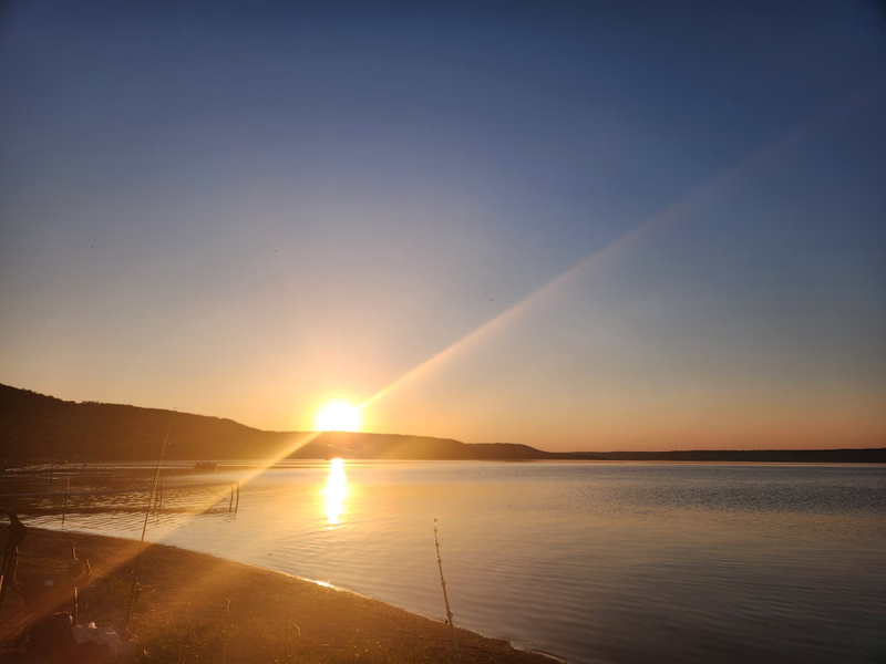
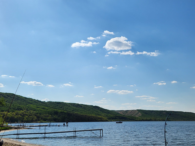
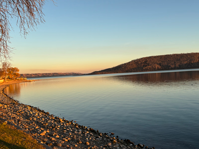
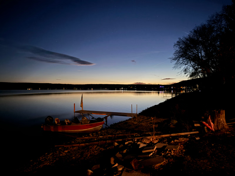
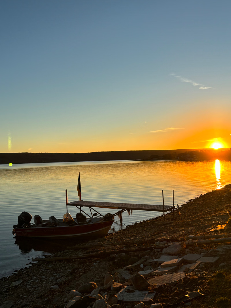
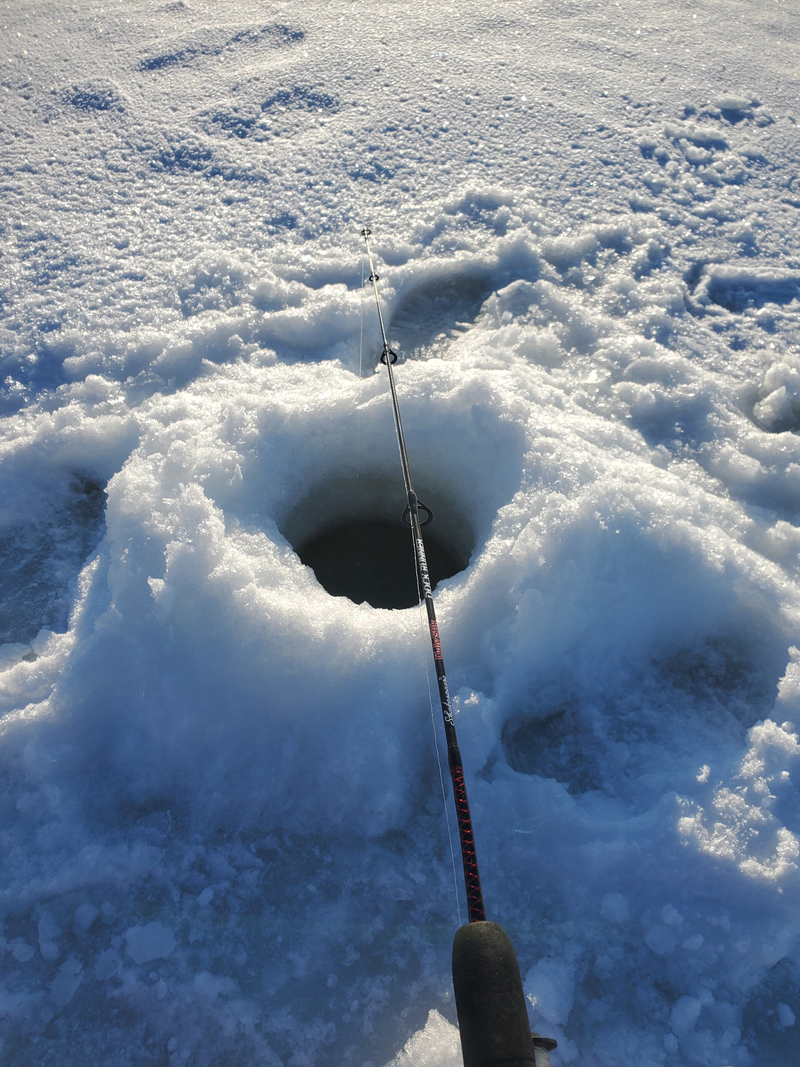
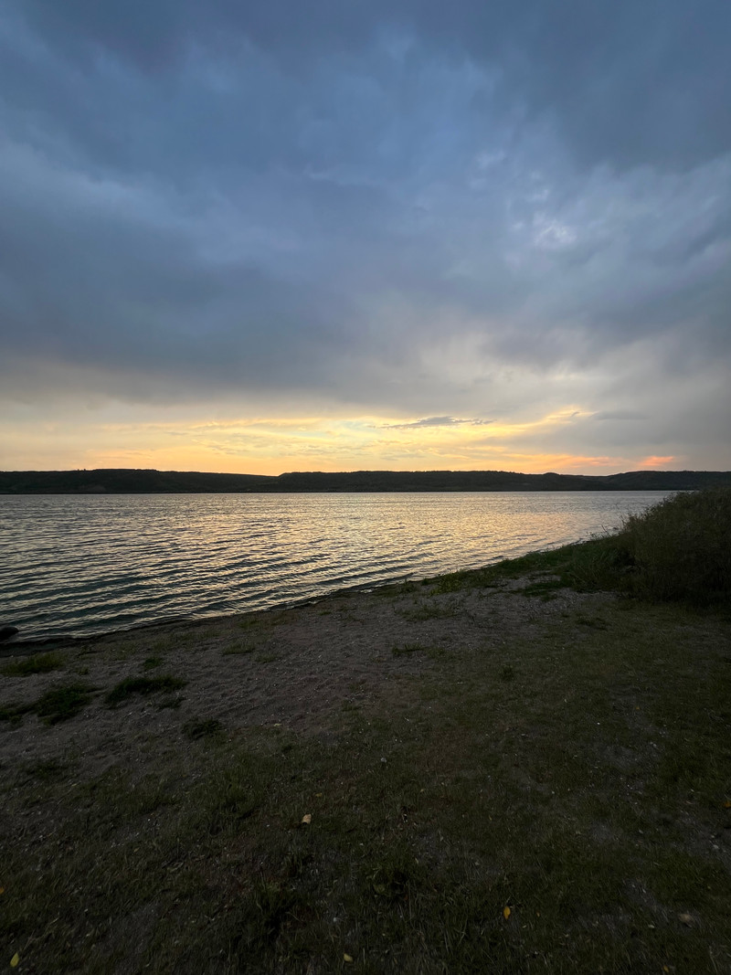
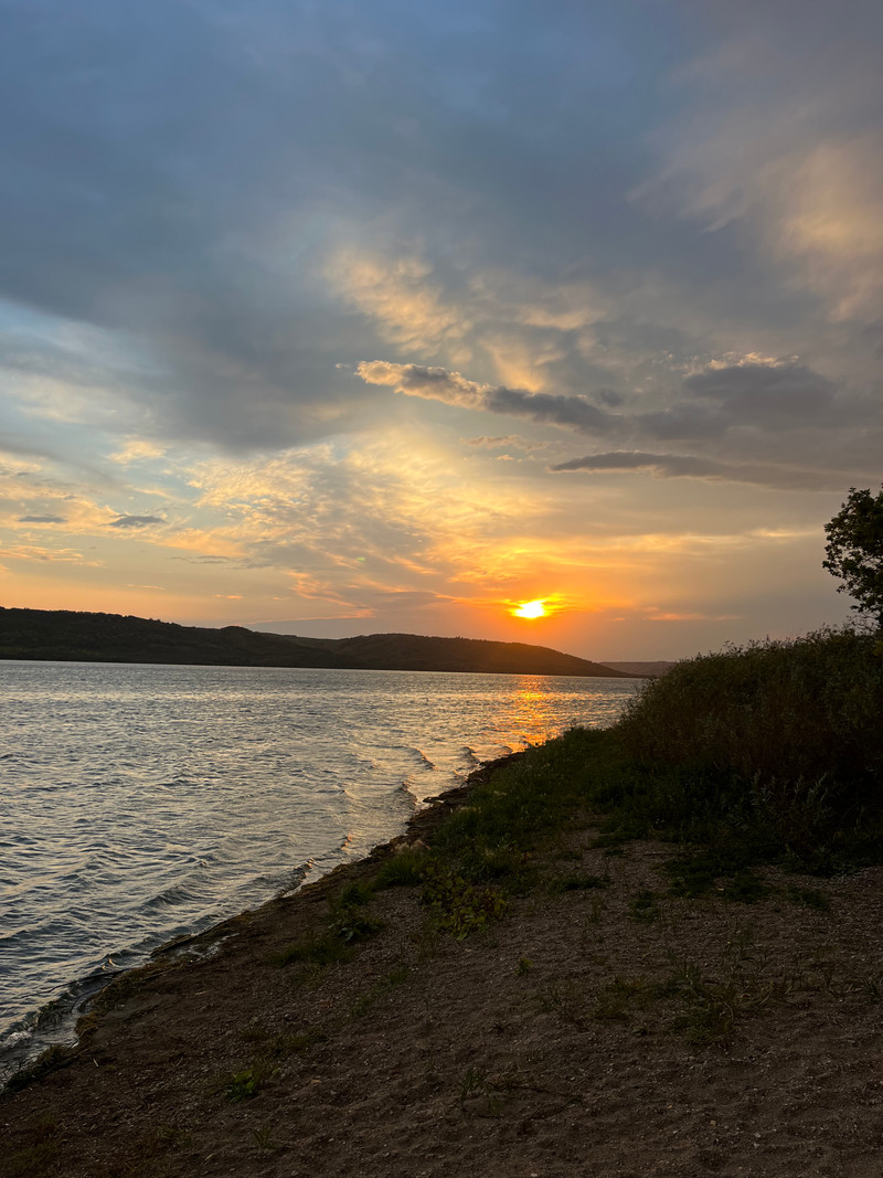
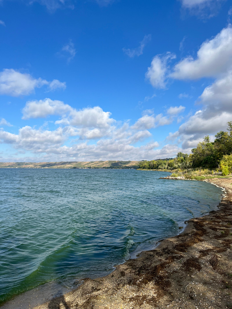
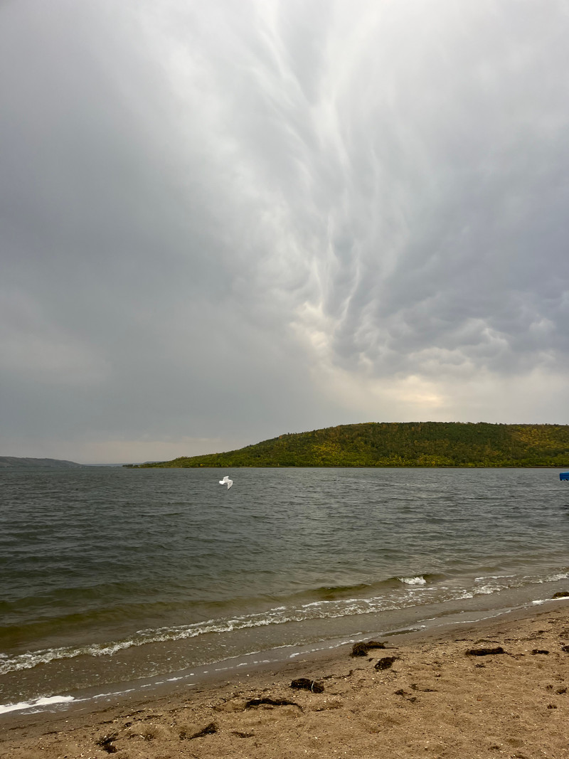
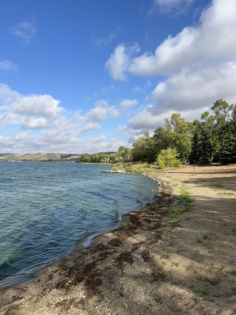
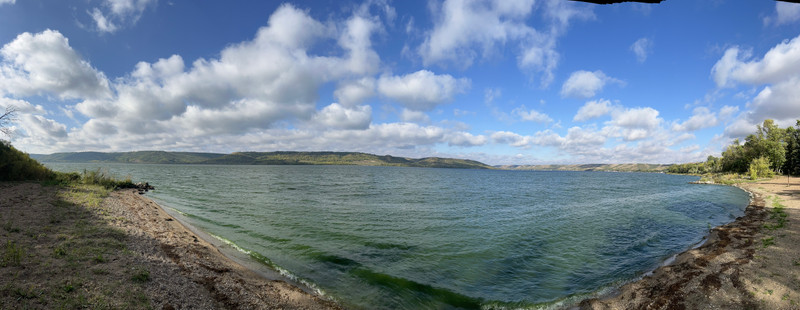
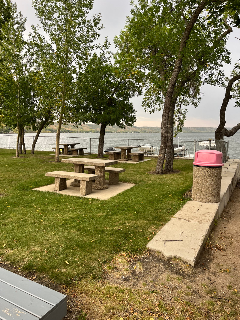
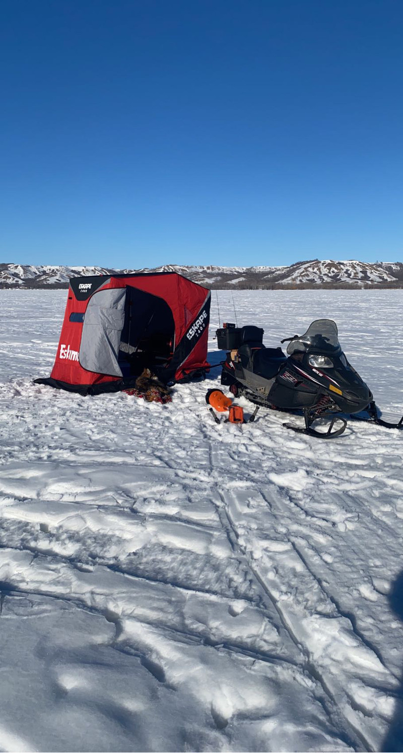
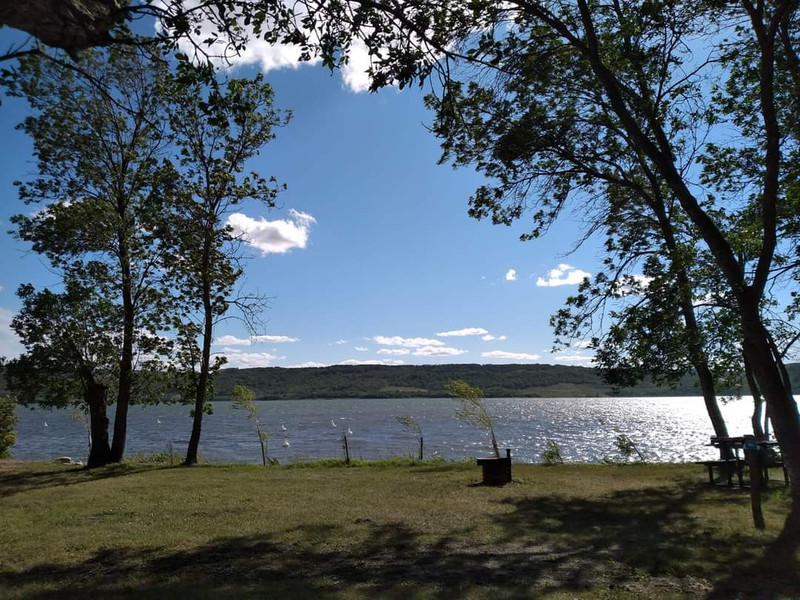
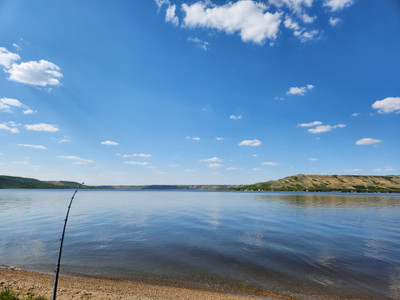
Crooked Lake is a recreational and fishing lake in the Qu'Appelle Valley. It is a popular destination in winter and summer!
One of the many lakes within the valley it is 100km S of Yorkton and 168km E of Regina with Highway 247 providing access to the lake and most of its amenities.
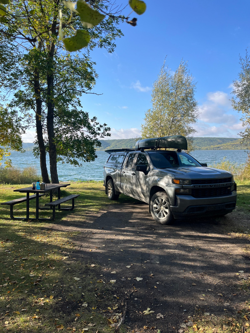
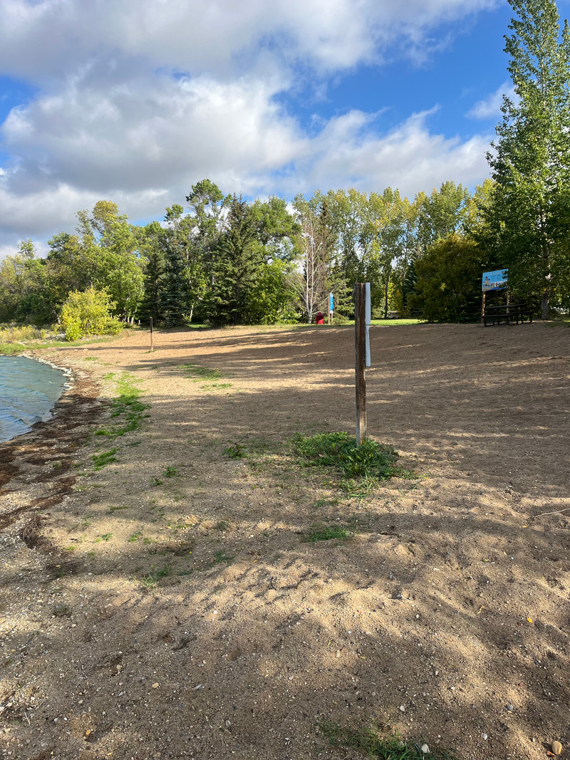
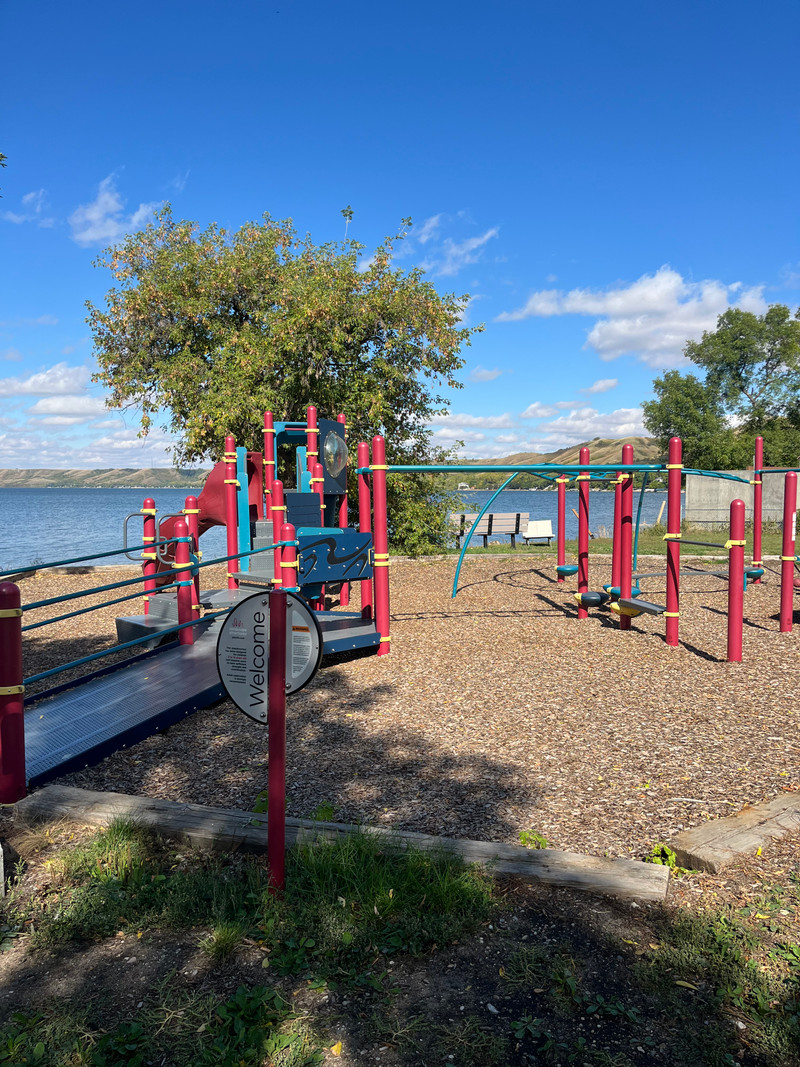
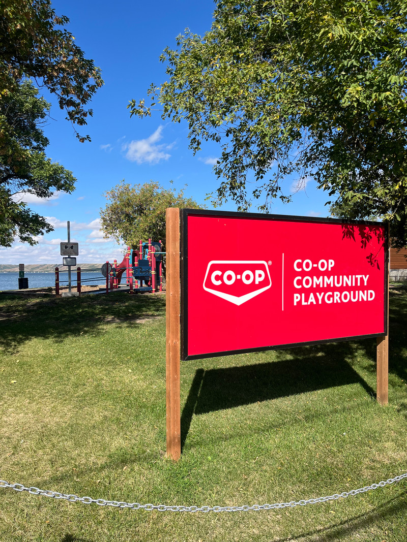
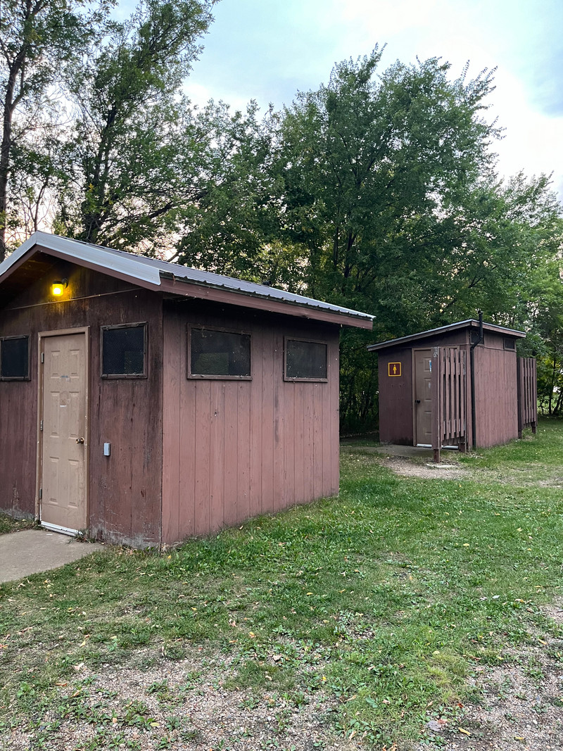
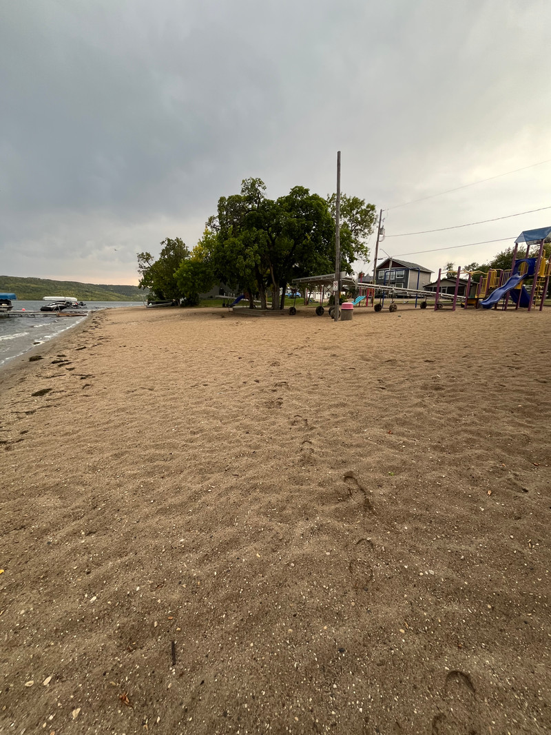
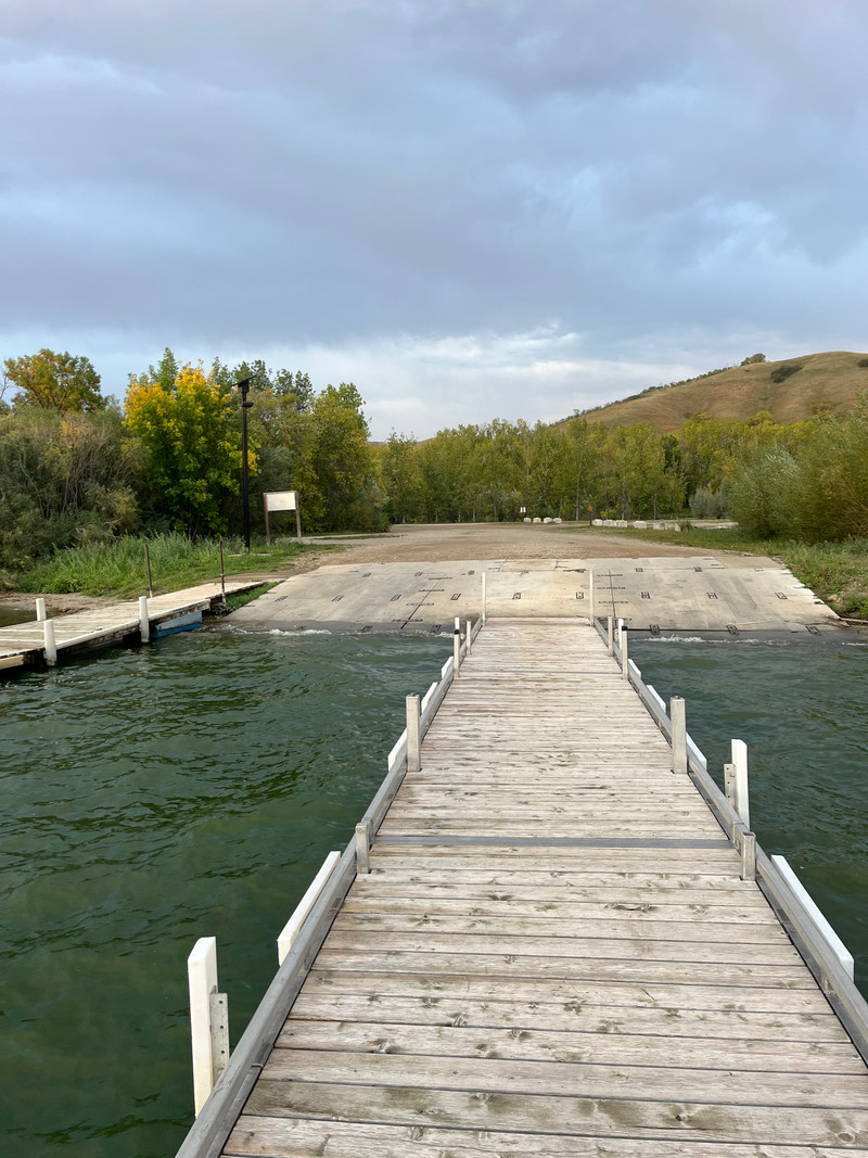
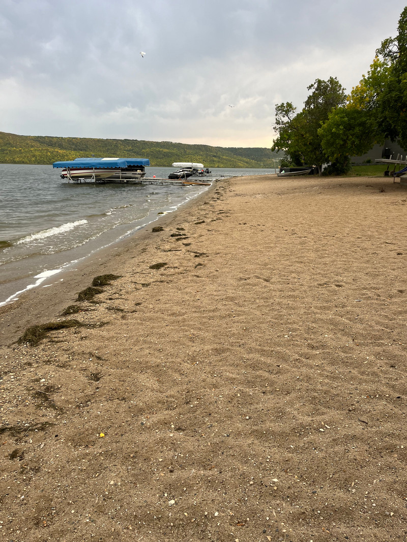
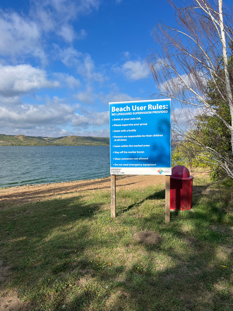
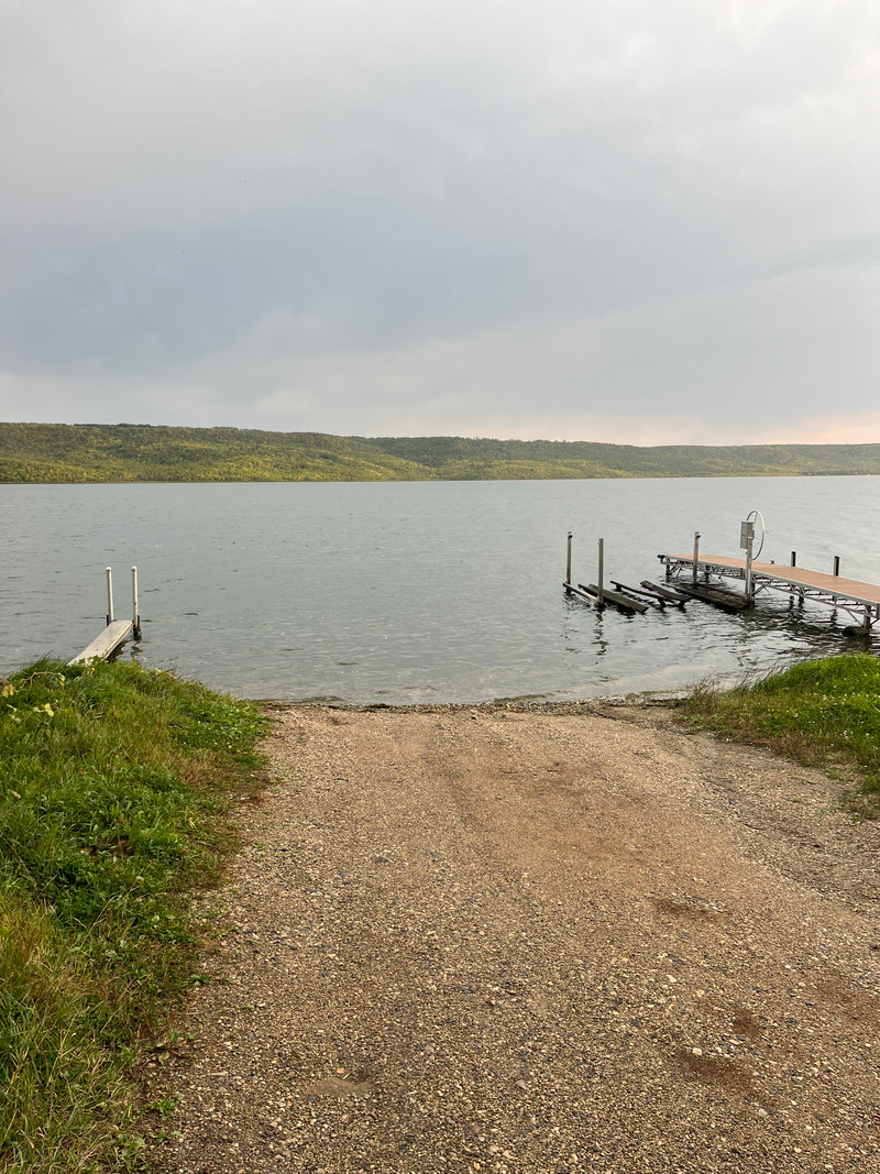
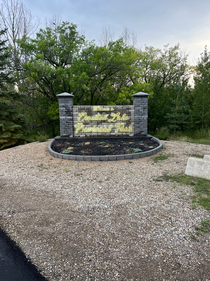
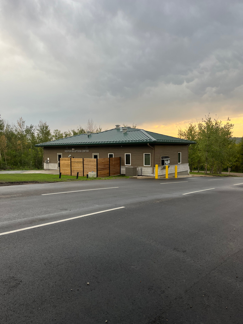
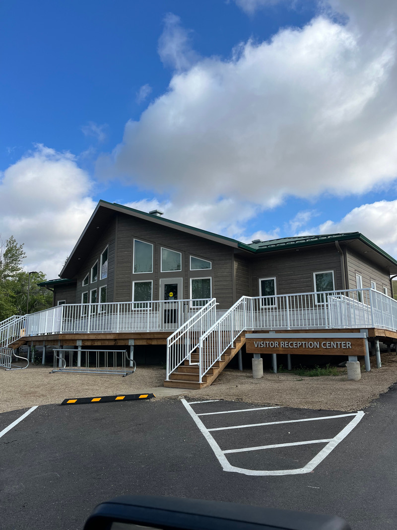
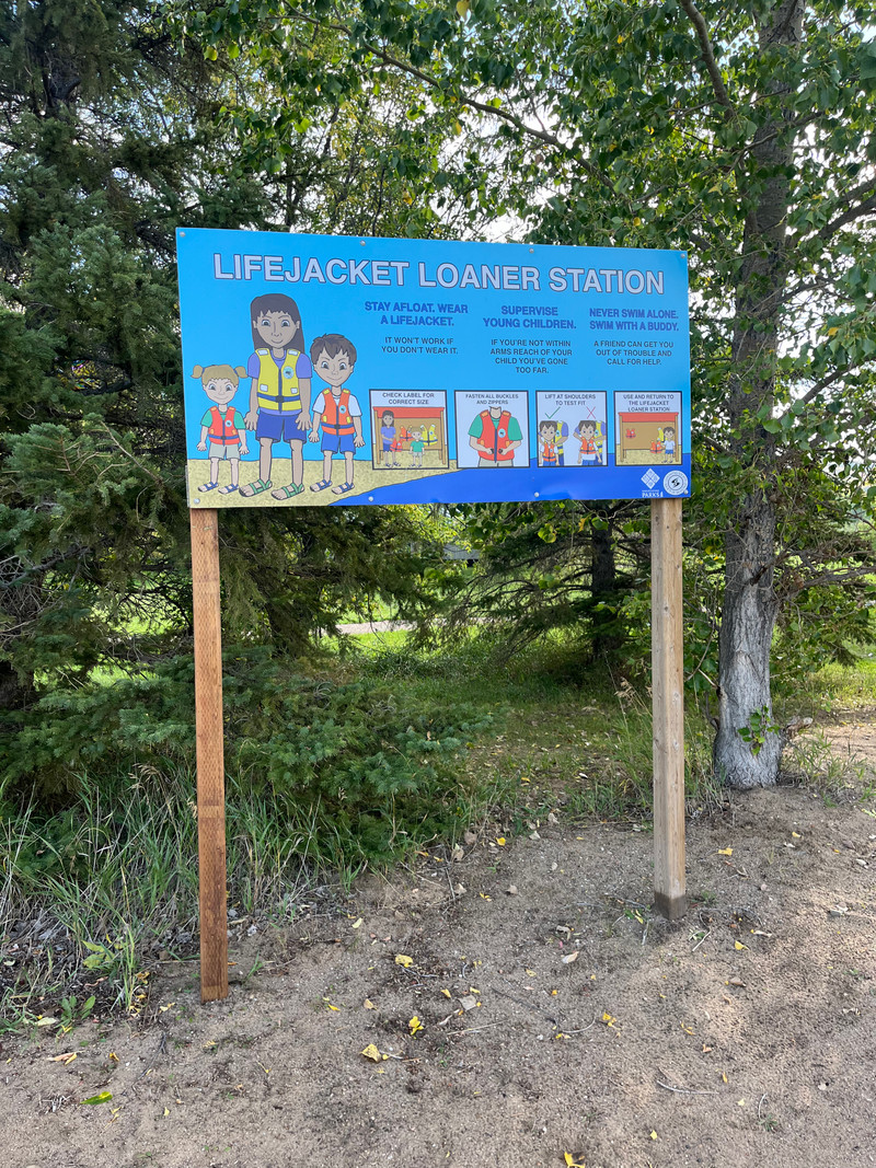
On the northeast shores of Crooked Lake, there are many communities, cabins, campgrounds, and resorts. Crooked Lake Provincial Park has a beach, boat launch, campground, and other services. The Trans Canada Trail runs along the north shore of the lake passing through the provincial park.
The south and west shores of the lake are within various reserves.
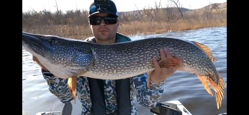
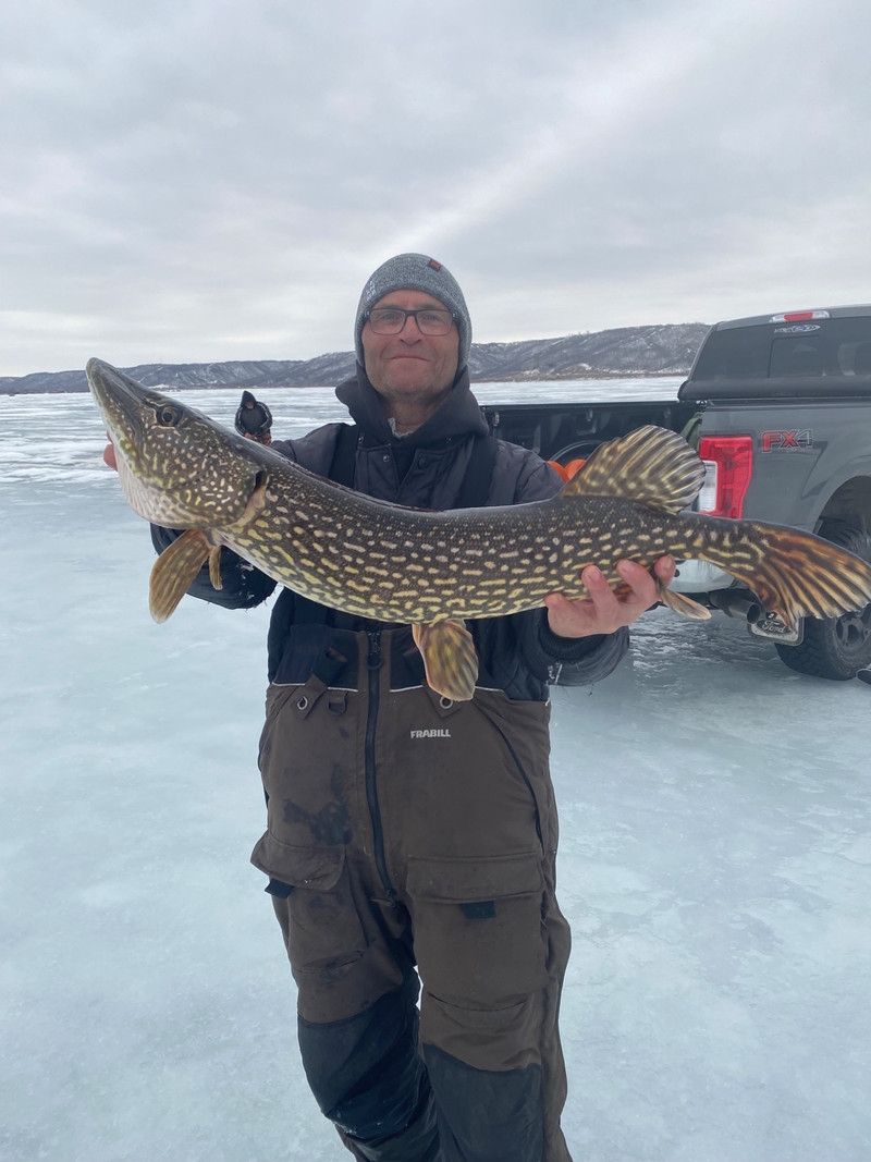
A huge number of different game species can be found in the lake, including Bigmouth Buffalo, Burbot, Channel Catfish, Cisco, Common Carp, Lake Whitefish, Mooneye, Northern Pike, Rock Bass, Walleye, White Sucker and Yellow Perch.
Like many of the other lakes in the Qu'Appelle Valley, the water level is controlled by a dam on the east end of the lake.
This lake has been personally visited by myself, Matthew Siemens.
Is this not the Crooked Lake you are looking for? There are 3 Crooked Lakes in Saskatchewan.
Details
| Fishing Zone: | Southern Zone |
| User Rating: | 4.5 / 5.0 |
| Favourited: | 1 times |
| Photos: | 61 photos of Crooked Lake |
| RM: | Elcapo No. 154, Grayson No. 184 |
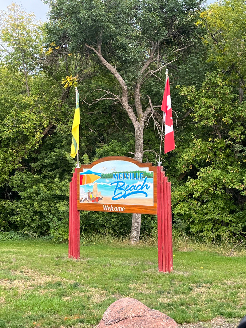
| Communities: | Melville Beach, Moose Bay Hamlet, Sunset Beach Hamlet, Grenfell Beach, Exne's Twin Bays |
| Parks: | Crooked Lake Provincial Park |
| Location: | 50.605666561126, -102.73304456297 |
| Shore Length: | 36km |
| Surface Area: | 3977 acres |
| Max Depth: | 15 m (49 ft) |
| Inflows: | Qu'Appelle River |
| Outflows: | Qu'Appelle River |
Comments, experiences, questions, and answers
Add CommentRating from
Comment from
Question from
Reply from
Directions to Crooked Lake
Accessible from Highway 247.
Get directions to a specific location:
Events
I don't know of any events at this time.
Map
Explore Crooked Lake with our interactive map.
Crooked Lake Provincial Park

Crooked Lake Provincial Park is located at Crooked Lake.
Website:
https://www.tourismsaskatchewan.com/provincialpark/1006/crooked-lake-provincial-park
Fishing at Crooked Lake
Crooked Lake is in the southern fishing zone.
Permission from the First Nation Chief or Band Council is required to fish on First Nations reserve lands.
What fish are in Crooked Lake
Bigmouth Buffalo, Channel Catfish, Mooneye, Northern Pike, Yellow Perch, Rock Bass, Walleye, Lake Whitefish, Burbot, White Sucker, Cisco and Common Carp can be found in Crooked Lake.Learn all about fishing in Saskatchewan here.
Additional Restrictions:
Fishing Season
Fishing season on Crooked Lake is from May 5, 2025 to March 31, 2025.
Fishing Limits for Crooked Lake
| Species | Limit |
| Bigmouth Buffalo | Limit 0 |
| Channel Catfish | Limit 1 (which cannot exceed 60 cm) |
| Mooneye | Limit 8 (combined limit for goldeye and mooneye) |
| Northern Pike | Limit 5 (only one may exceed 75 cm) |
| Yellow Perch | Limit 25 |
| Rock Bass | Limit 6 |
| Walleye | Limit 4 (only one may exceed 55 cm, combined limit for Walleye/Sauger/Saugeye) |
| Lake Whitefish | Limit 8 (combined limit for all whitefish) |
| Burbot | Limit 8 |
| Cisco | Limit 8 (combined limit for all whitefish) |
| Common Carp | No limit (considered an invasive species) |
Disclaimer
Although we try our best to provide correct and updated information for every lake in Saskatchewan, all information on this site is provided to use at your own risk. Please reference the Saskatchewan Anglers Guide for more information.
Fish Facts
|
|
Walleye: (30 - 2560 g) Good Pike: (780 - 3520 g ) Fair Perch: (40 - 400 g) Poor Channel Catfish: (2010 - 7170 g) | June 19 - 21 / Gill nets. Walleye, pike and perch populations have decreased in abundance since last survey, with channel catfish numbers increasing slightly. Angling success is reported as fair. |
Boating at Crooked Lake
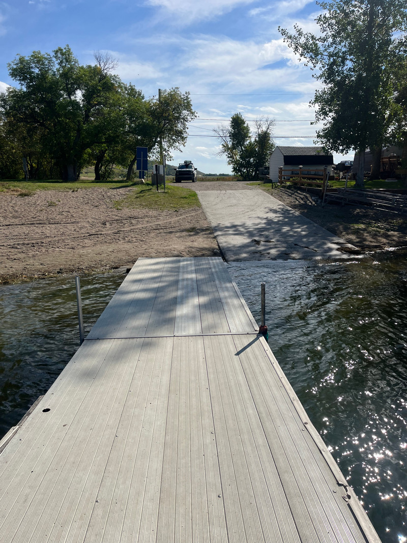
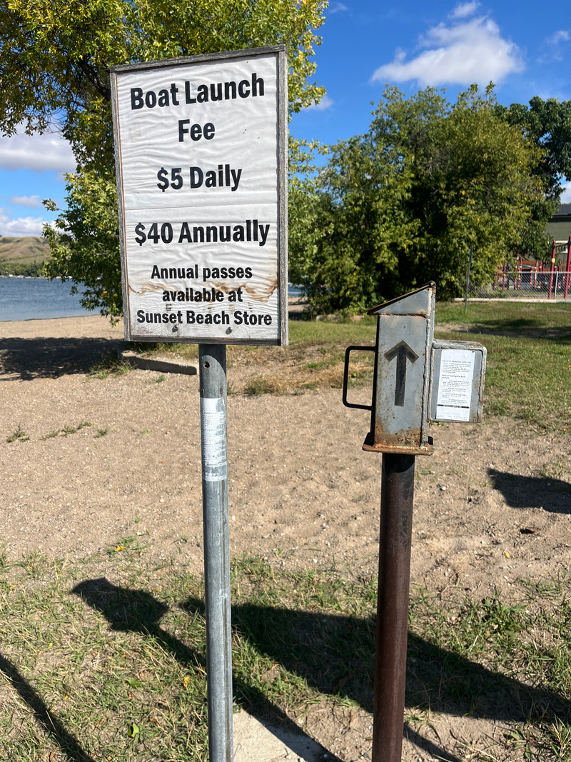
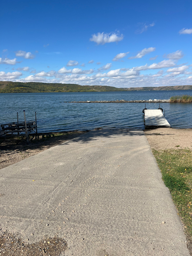
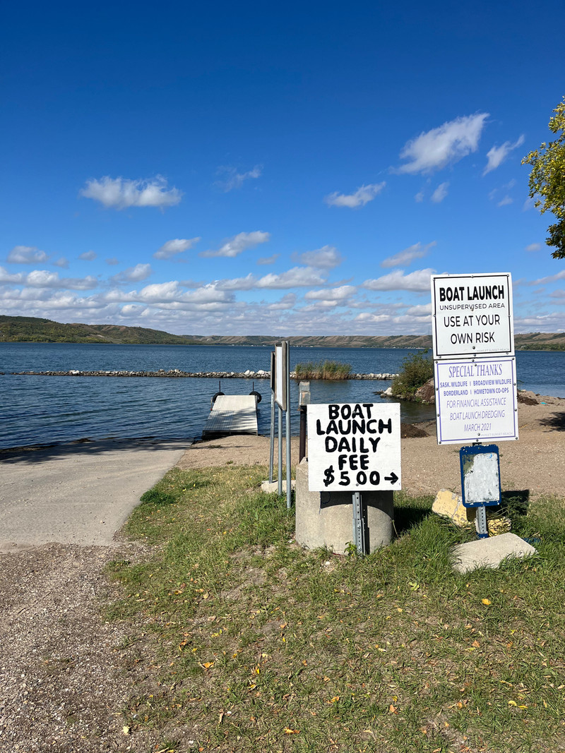
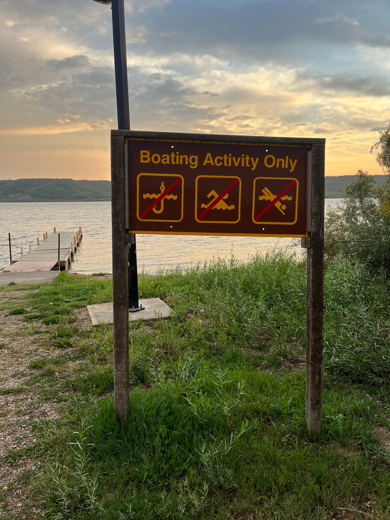
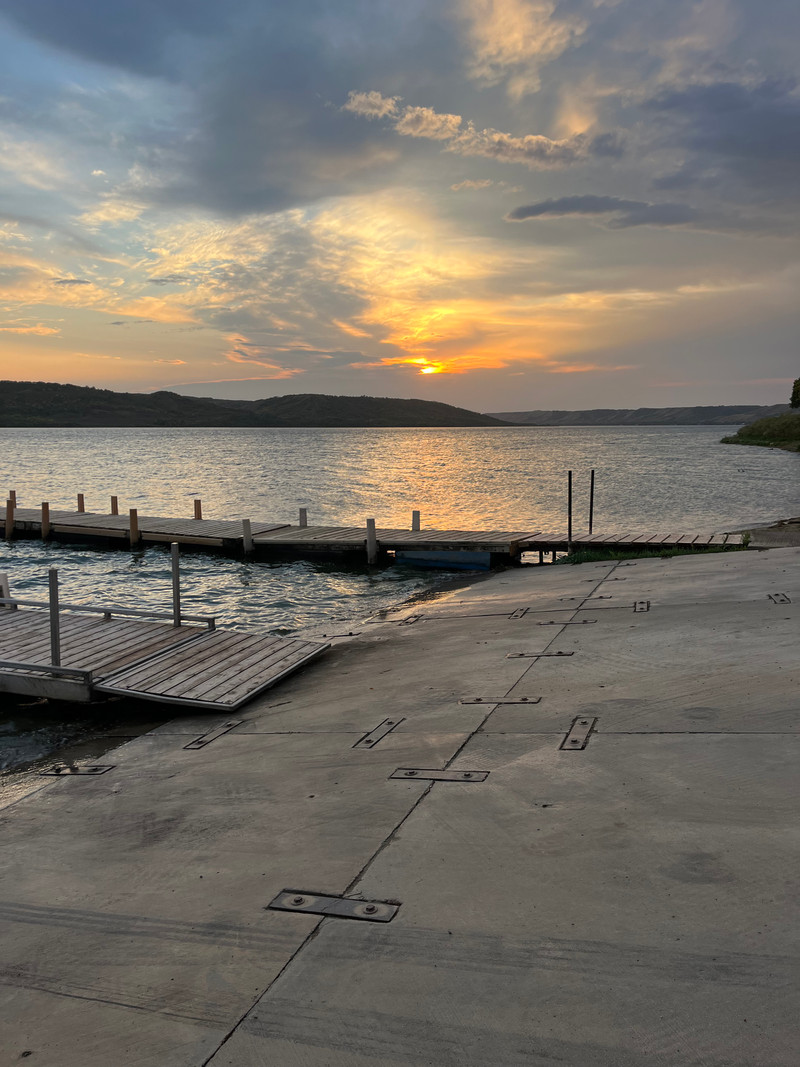
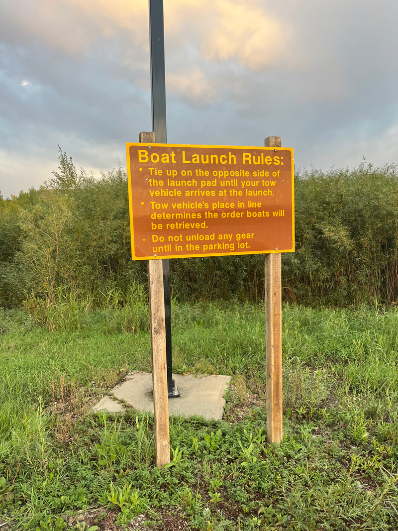
There are 2 boat launches/marinas at Crooked Lake.
Camping at Crooked Lake
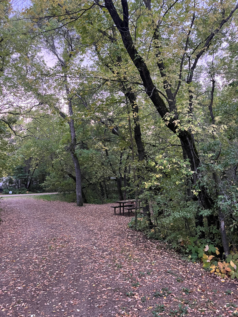
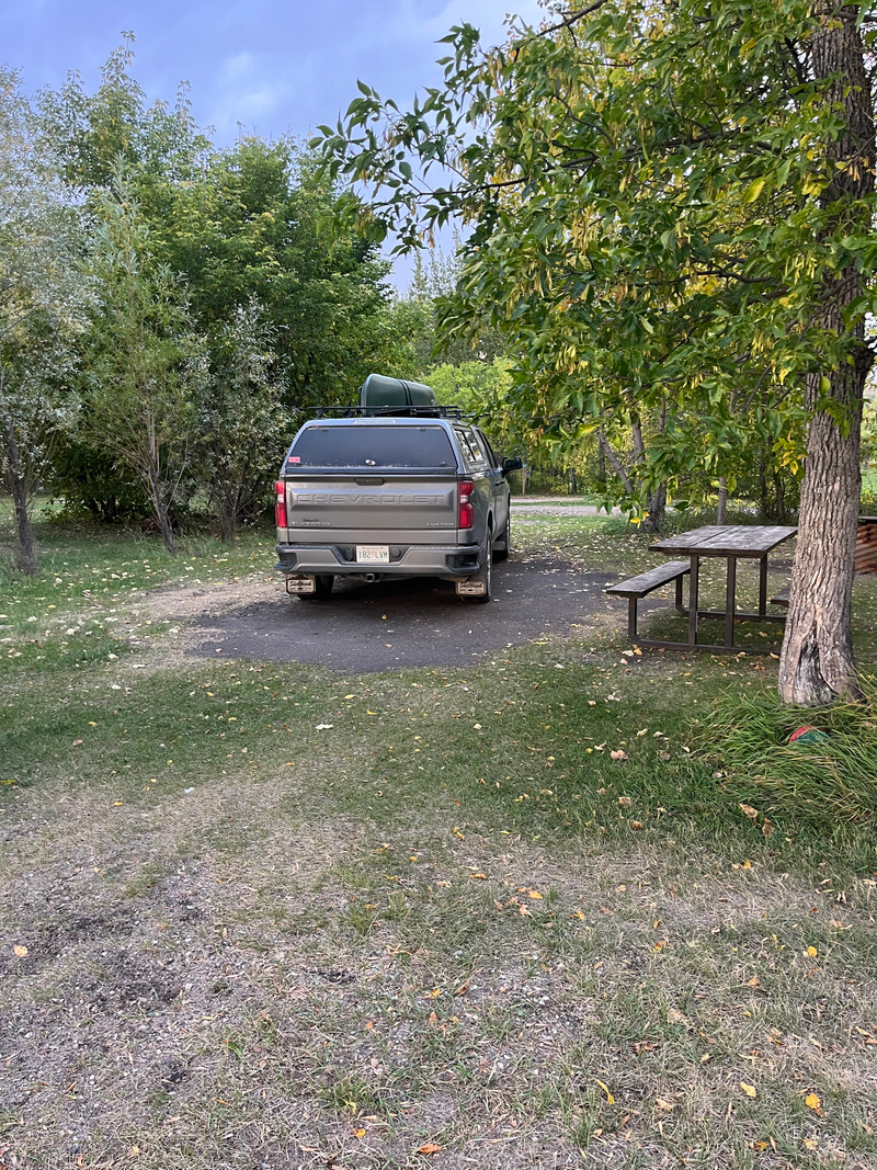
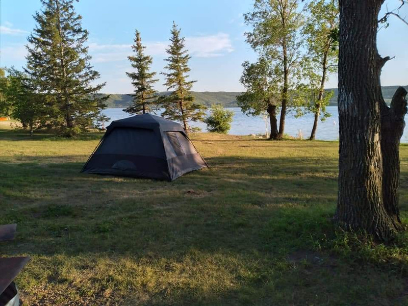
There are seasonal and overnight campsites at Crooked Lake Provincial Park as well as a number of private campgrounds at the lake.
There are 4 campgrounds at Crooked Lake.
Beaches at Crooked Lake
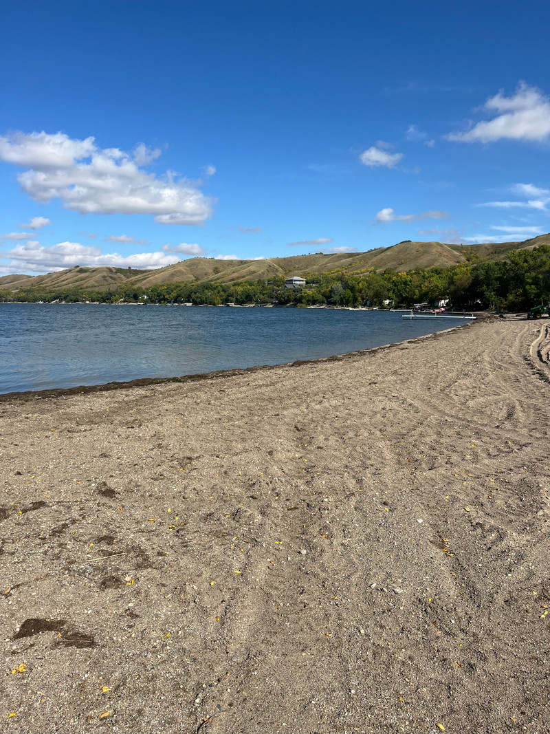
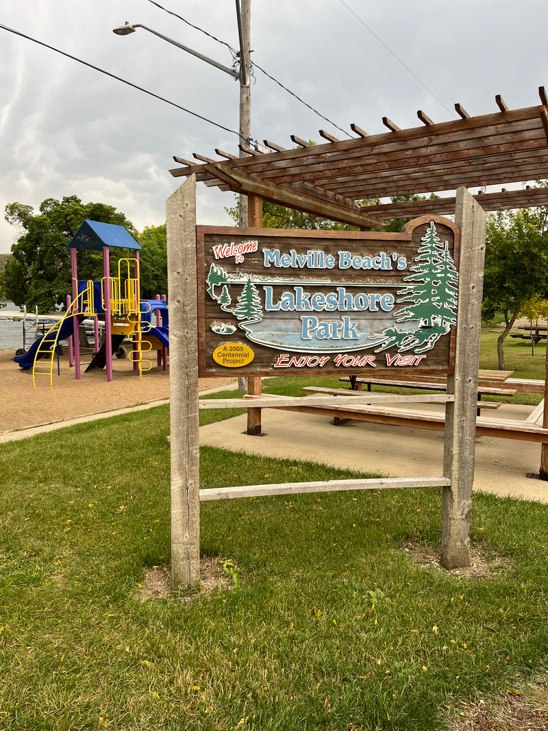
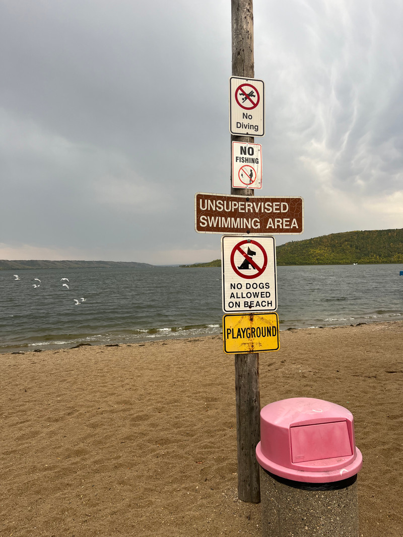
There are 4 beaches at Crooked Lake.
Communities near Crooked Lake
There are 5 communities near Crooked Lake.
Nearby Lakes
Photos
Add Photos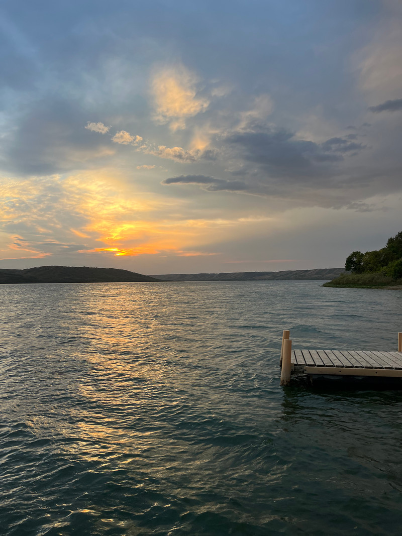



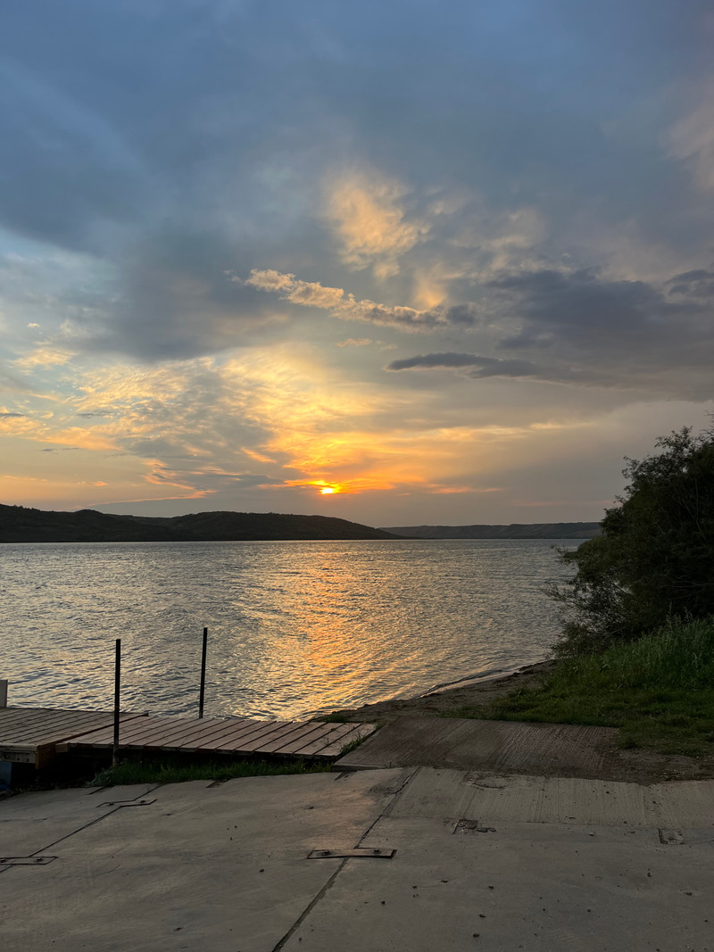
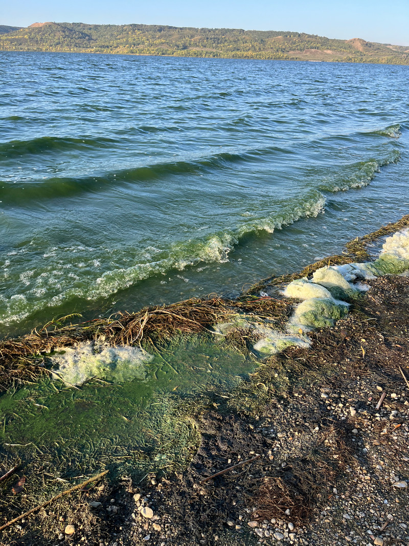
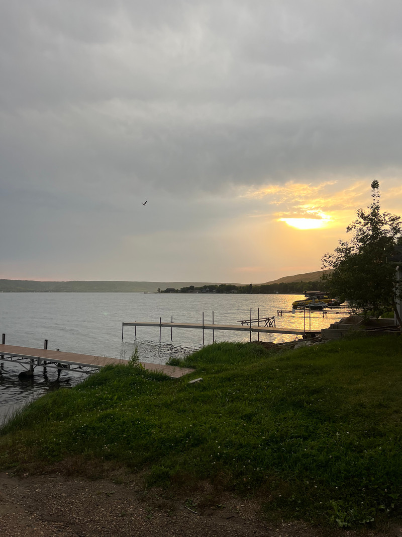
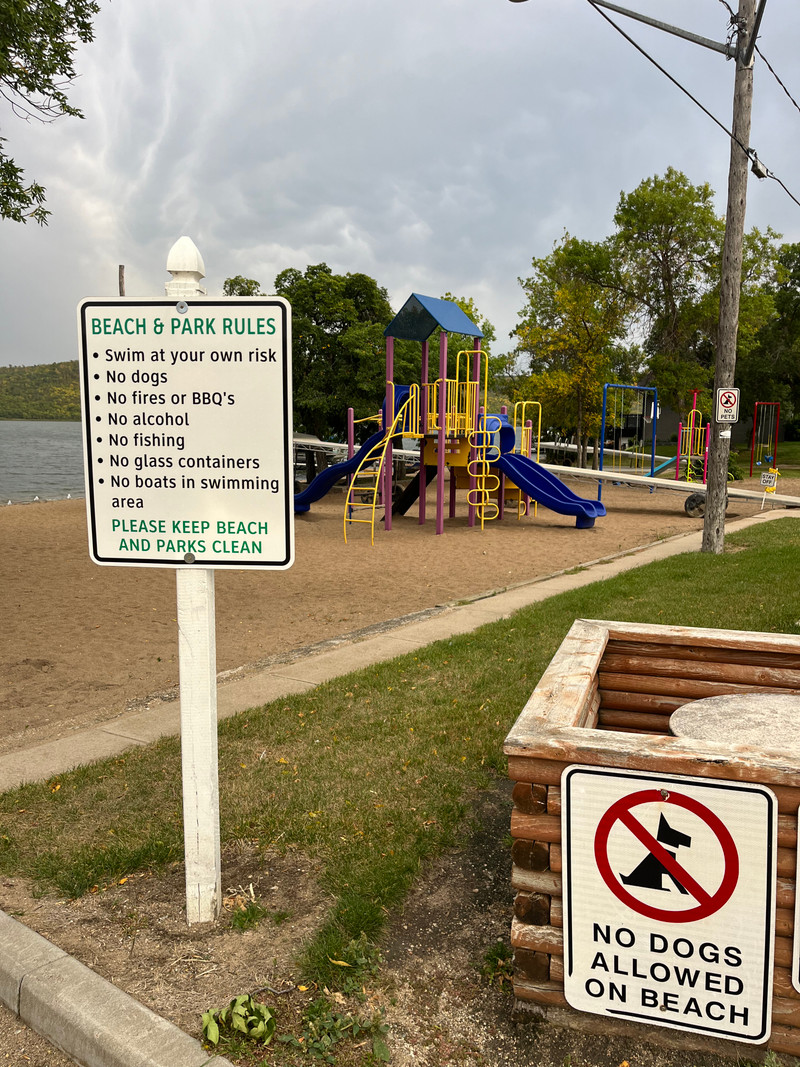
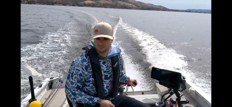
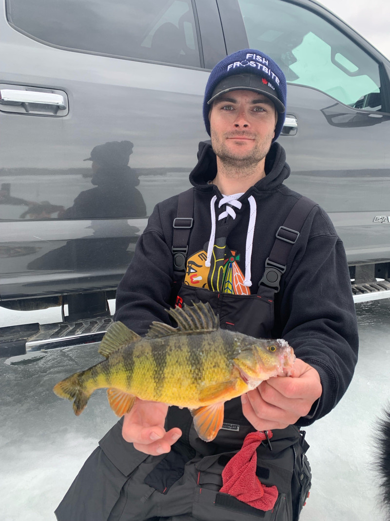
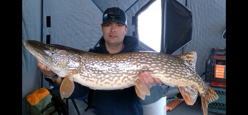
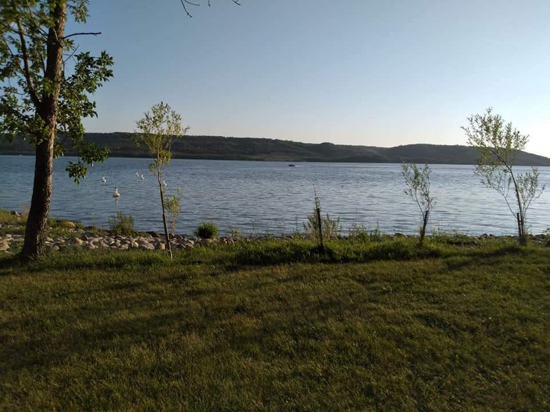
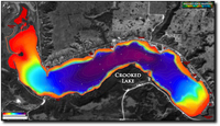
Bathymetric (Depth) Charts for Crooked Lake
Angler's Edge Mapping (AEM)
High quality print and downloadable mobile maps are available for this lake from AEM.
About AEMOld Provincial Bathy Charts
These maps were produced by the government a long time ago, using primitive methods. They are not intended for navigation and should not be expected to be accurate.
Melville Beach

Moose Bay Hamlet

Sunset Beach Hamlet

Coyote Gulch Campgrounds

Phone: (306) 720-0390
Website:
https://www.coyotegulchcampgrounds.ca/?utm_medium=google
Sunset Beach

Last Oak Golf

Crooked Lake Beach

Provincial Park Boat Launch

Provincial Park Beach

Crooked Lake Dam

This 9-bay concrete and timber dam is 3.5 metres (11ft) tall and has a capacity of 96,000 acre/ft. It was originally built in 1941 to regulate the water levels on the lake.
It is located on the Cowessess 73 Reserve, and an upgrade was announced in 2015 to help reduce flooding issues. In 2011 and 2014 the water in the lake over-topped the dam resulting in flooding.
Grenfell Beach

Exne's Twin Bays

Cedar Cove

Sunset Beach Boat Launch

Crooked Lake Campground

Resources
References
Other References
- Crooked Lake (Wikipedia)
- Crooked Lake (Canadian Geographical Names Database)
- Melville Beach (Canadian Geographical Names Database)
- Moose Bay Hamlet (Canadian Geographical Names Database)
- Sunset Beach Hamlet (Canadian Geographical Names Database)
- https://www.coyotegulchcampgrounds.ca/?utm_medium=google
- https://lastoakgolf.com/
- Crooked Lake offers multiple spots (SaskToday.ca)










View full details on your catch log.