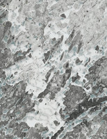
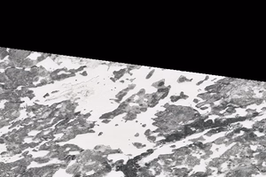
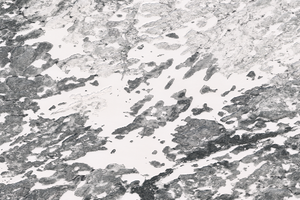
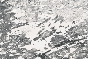
Satellite Images of Burnett Lake
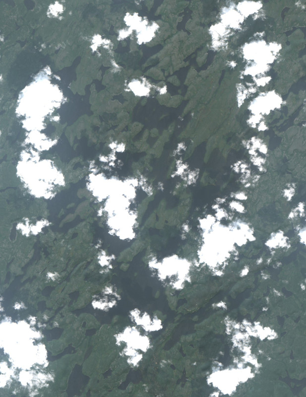
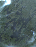
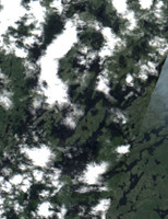
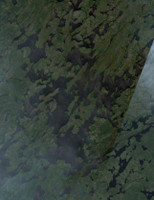
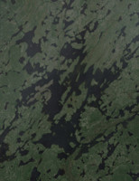
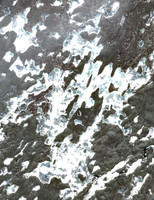
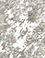
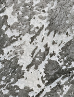
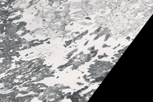
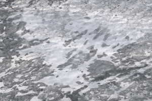
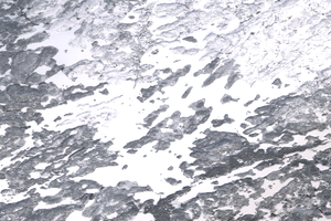
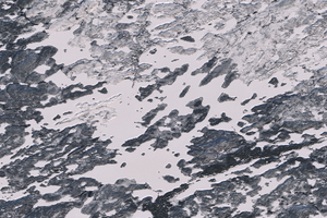
Explore the latest satellite images of Burnett Lake. These images are captured by the European Union's Copernicus Programme.
The system automatically downloads the newest satellite images, but you can manually check for new images if you want by clicking the button below.
Checking for newer satellite imagery...
This can take 10-30 seconds depending on satellite availability.
- Checking for new imagery
- Downloading satellite data
- Processing image tiles
- Refreshing the page automatically
Get Updates
Get notified when new satellite images are available for this lake.
Early feature — notifications coming soon.
Jul 24, 2026
Jul 24, 2026
Jul 24, 2026
Jul 24, 2026
May 23, 2026
Jul 24, 2026
May 18, 2026
May 11, 2026
Apr 30, 2026
Apr 16, 2026
Apr 11, 2026
Apr 04, 2026
Mar 19, 2026
Feb 20, 2026
Feb 10, 2026

Jan 29, 2026

Jan 24, 2026
Data Sources & References
- Weather data: OpenWeather - https://openweathermap.org/
- Satellite imagery: © European Union, Copernicus Programme (Sentinel data) - https://www.copernicus.eu/