Condie Reservoir

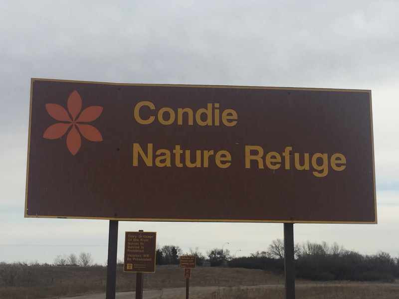
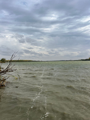
Condie Reservoir is a small paddling and fishing reservoir located 13km NNW of Regina. The entire reservoir is within the Condie Nature Refuge Recreation Site with access from Condie Road off Highway 734.
This is a great family-friendly destination a short distance from Regina. There are two parking lots, one on the north and one on the south. Each parking lot has access to a wheelchair-friendly pit toilet, picnic areas (briquettes only), and hiking trails. Near the north parking lot is a launch site for paddlers (no motors allowed).
If you're looking for a place to stretch your legs, have a picnic, go for a paddle, or watch some birds this is a great stop!
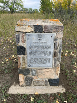
The reservoir was formed when CN Rail damned Boggy Creek in 1924 to provide water for steam engines.
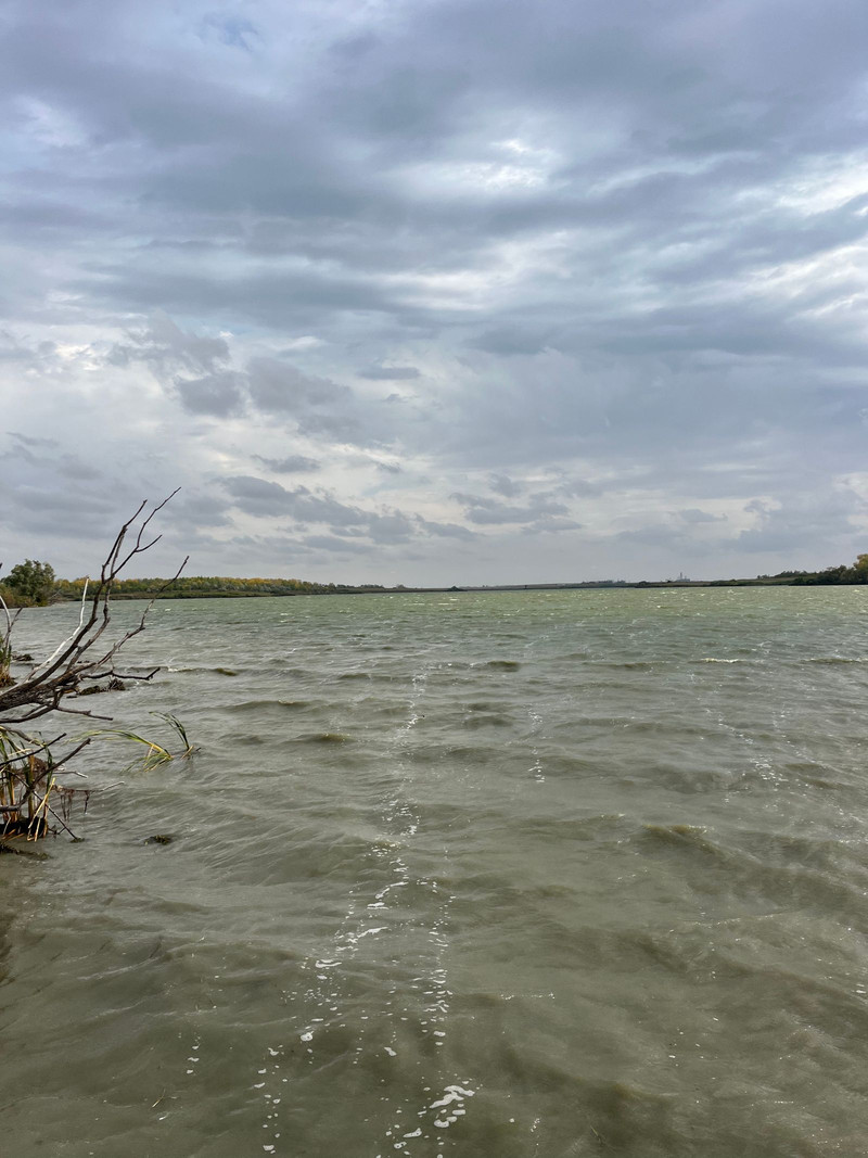
Northern Pike and Yellow Perch can be found in the reservoir. Please note there is a custom limit for perch. The reservoir has been stocked with perch in the past but not for many years.
This lake has been personally visited by myself, Matthew Siemens.
Details
| Fishing Zone: | Southern Zone |
| User Rating: | 5.0 / 5.0 |
| Photos: | 12 photos of Condie Reservoir |
| RM: | Sherwood No. 159, Lumsden No. 189 |
| Parks: | Condie Nature Refuge Recreation Site |
| Location: | 50.560510109634, -104.70944874645 |
| Shore Length: | 6.42km |
| Surface Area: | 165 acres |
Comments, experiences, questions, and answers
Add CommentRating from
Comment from
Question from
Reply from
Directions to Condie Reservoir
Accessible from Highway 734.
Get directions to a specific location:
Events
I don't know of any events at this time.
Map
Explore Condie Reservoir with our interactive map.
Condie Nature Refuge Recreation Site

Fishing at Condie Reservoir
Condie Reservoir is in the southern fishing zone.
What fish are in Condie Reservoir
Northern Pike, Yellow Perch and White Sucker can be found in Condie Reservoir.Learn all about fishing in Saskatchewan here.
Additional Restrictions:
Fishing Season
Fishing season on Condie Reservoir is from May 5, 2025 to March 31, 2026.
Fishing Limits for Condie Reservoir
| Species | Limit |
| Yellow Perch | Limit 10 |
| Northern Pike | Limit 5 (only one may exceed 75 cm) |
Disclaimer
Although we try our best to provide correct and updated information for every lake in Saskatchewan, all information on this site is provided to use at your own risk. Please reference the Saskatchewan Anglers Guide for more information.
Fish Facts
|
|
Pike: (510 - 1170 g) Excellent Perch: Sparse | June 7 - 8 / Gill nets. Survey conducted to assess winterkill status. No angling reports for pike or perch at the time of the survey. Reservoir is aerated during the winter, be careful of thin ice. |
Boating at Condie Reservoir
Camping at Condie Reservoir
I don't have any campgrounds reported for this lake. Let me know if I'm missing one!
Beaches at Condie Reservoir
I don't have any beaches reported for this lake. Let me know if I'm missing one!
Nearby Lakes


Photos
Add Photos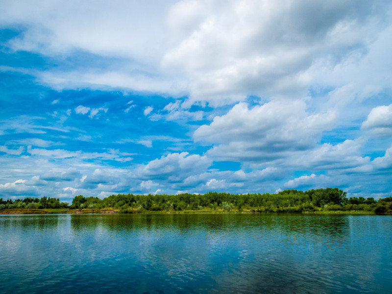


Bathymetric (Depth) Charts for Condie Reservoir
Old Provincial Bathy Charts
These maps were produced by the government a long time ago, using primitive methods. They are not intended for navigation and should not be expected to be accurate.
View full details on your catch log.
View full details on your catch log.